Altamuskin
ALTAMUSKIN: Private airfield
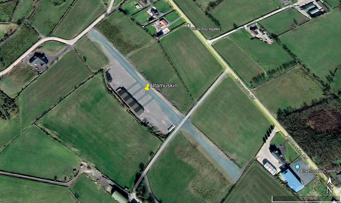
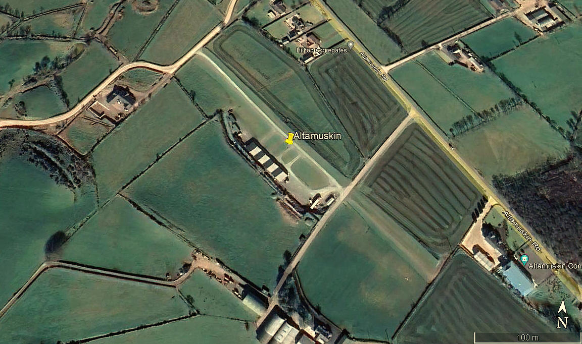
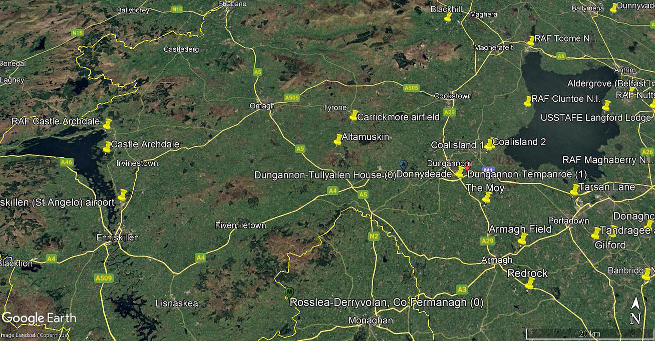
Note: The first two pictures were obtained from Google Earth ©. The area view is from my Google Earth © derived database.
Operated by: Hilltop Flying Club
Location: In and just NW of Altamuskin, 10nm SE of Omagh town centre and 21nm NW of Armagh town centre
Period of operation: Not known exactly but no sign of it in 2017. Certainly 2020 to -
Runway: 13/31 350 (But was is the surface? Perhaps crushed and rolled aggregate?)
NOTES: We have Mr Graham Frost, a great friend of this 'Guide', to thank for pointing out this location.
The one aspect of this site which really grabbed my attention was the runway. Even allowing for the colour distortion prevalent in Google Earth © images, it appears to be light blue in colour. I have no idea how this has been achieved, but what a simple and highly effective idea. I can think of nothing similar in the UK at least, but what a great aid for navigation - it must surely be visible from the air for miles around.
As always, if anybody can kindly offer advice and information, this will be most welcome. Pictures are of course much appreciated.
We'd love to hear from you, so please scroll down to leave a comment!
Leave a comment ...
Copyright (c) UK Airfield Guide


