Now having 7,000 + listed!

Probably becoming the most extensive British flying sites guide online...?

portfolio1 portfolio2 portfolio3 portfolio4

Heading 1

This is an example of the content for a specific image in the Nivo slider. Provide a short description of the image here....

Heading 2

This is an example of the content for a specific image in the Nivo slider. Provide a short description of the image here....

Heading 3

This is an example of the content for a specific image in the Nivo slider. Provide a short description of the image here....

Heading 4

This is an example of the content for a specific image in the Nivo slider. Provide a short description of the image here....

small portfolio1 small portfolio2 small portfolio3 small portfolio4
themed object
A Guide to the history of British flying sites within the United Kingdom
get in touch

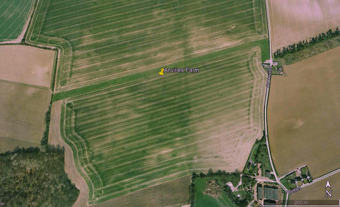
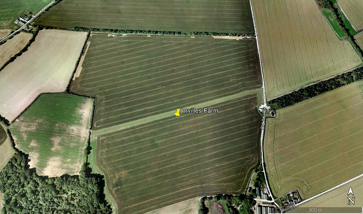
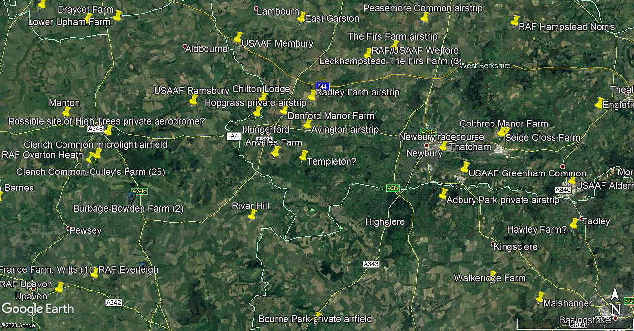
Anvilles Farm


ANVILLES FARM: Private airstrip

Aerial view 2003
Aerial view 2003
Aerial view 2010
Aerial view 2010
Area view
Area view


Note:  All three of these pictures were obtained from Google Earth ©


Location: W of minor road from Hungerford to Inkpen, E of the A338 and about 2nm S of Hungerford

Period of operation: 1984 to 2010?


NOTE:  Is any more known about this airstrip?  One problem is that the dates given on Google Earth cannot be relied upon - which is such a shame if trying to use them from a historical perspective. For example, when I found the second picture it was dated 2010. But when I returned to make a copy to put into this 'Guide' it was dated 2005. There was certainly no evidence of this strip on a 2017 image. Advice, as always, most welcome.


We'd love to hear from you, so please scroll down to leave a comment!


Leave a comment ...


Name
 
Email:
 
Message:


Copyright (c) UK Airfield Guide


slide up button