Ashington
ASHINGTON: Military aerodrome
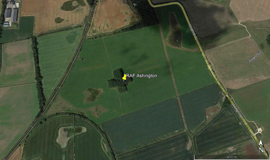
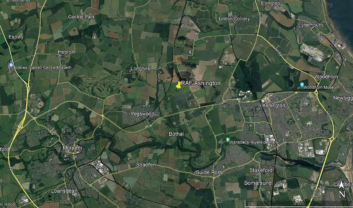
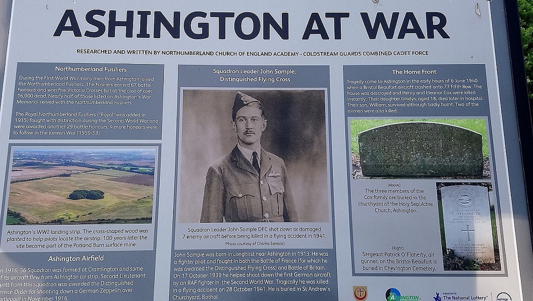
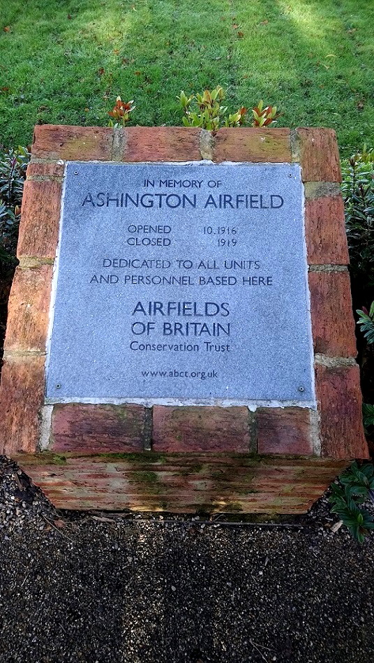
Note: These first two pictures were obtained from Google Earth ©. The second two were kindly provided by Mr David Marlow.
Military user: WW1: RFC Flight Station
36 [Home Defence] Sqdn (Royal Aircraft Factory B.E.2c & B.E.12s)
Location: About 0.5nm N of the A197, about 2nm WNW of Ashington, roughly 3nm NE of Morpeth town centre
Period of operation: From 1916 to 1919
Site area: 105 acres 668 x 640
NOTES: The main base for 36 Sqdn was CRAMLINGTON about 5nm S, other detachments were based at SEATON CAREW and HYLTON, (USWORTH) in COUNTY DURHAM.
An interesting feature is the small copse of trees in the shape of an 'X' in the middle of the aerodrome. It appears to be a myth that these were a navigation aid for pilots and was in fact, it seems, planted in the 1920s. A copse of trees in the middle of a aerodrome, especially quite a small aerodrome, is not a good idea.
We have Mr David Marlow, who kindly contacted me, to thank for pinpointing this location. My own estimate made many years ago, was way out.
Peter Vercruijsse
This comment was written on: 2018-02-17 20:15:50According to several reliable sources, the coordinates are 55.18889N 001.62103W
We'd love to hear from you, so please scroll down to leave a comment!
Leave a comment ...
Copyright (c) UK Airfield Guide


