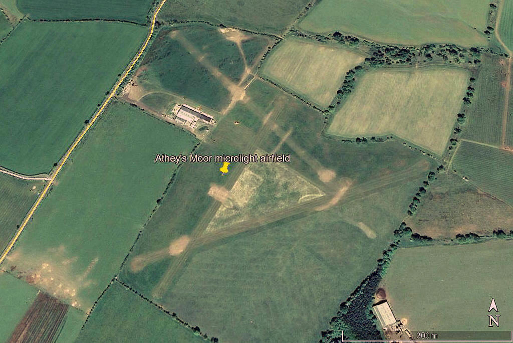
Atheys Moor
ATHEY'S MOOR: Microlight airfield (Aka LONGFRAMLINGTON)
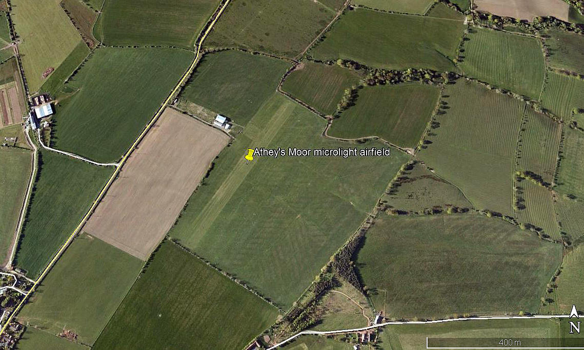
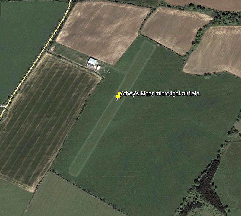
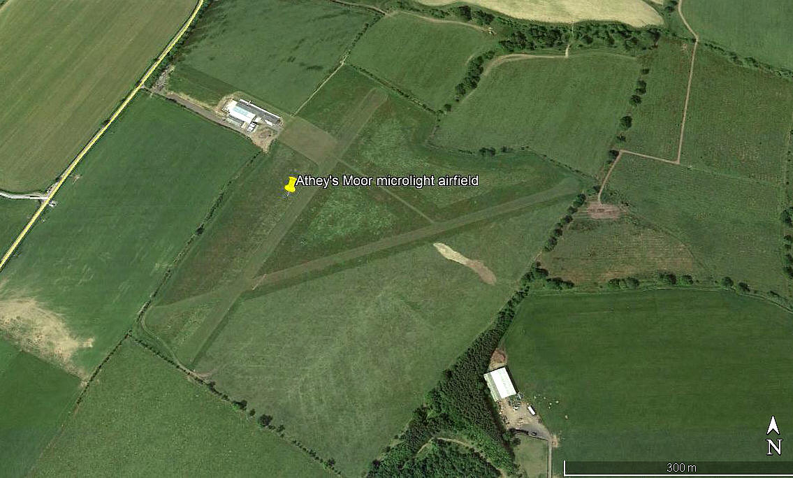
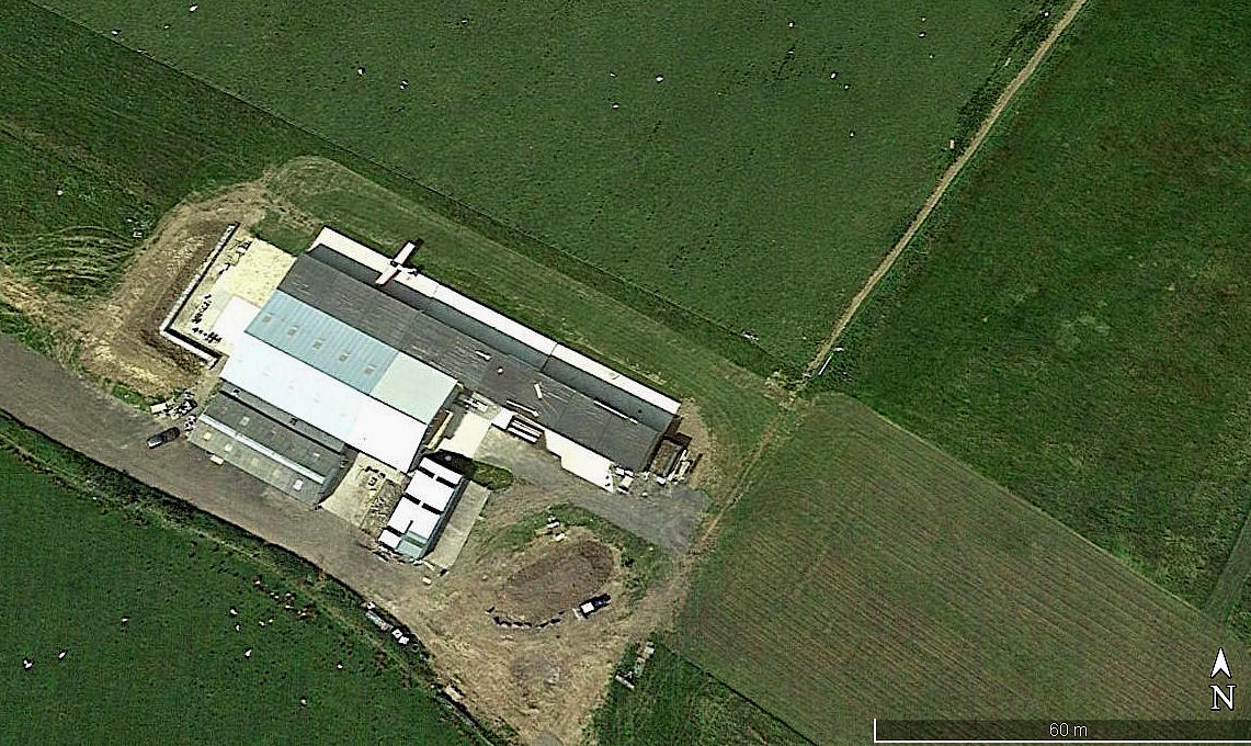
Note: All four of these pictures were obtained from Google Earth ©
Operated by: Mr Ed McCallum
Location: NE of Longframlington, roughly 3nm E of Rothbury and approximately 7nm SSW of Alnwick
Period of operation: Since 2001
Note: Looking at a Google Earth image dated 2002 there was no sign of a prepared/marked out runway
ANOTHER CHANGE SPOTTED
Note: Also from Google Earth © this picture shows the latest 14/32 runway. I noticed this when double-checking the mention of this runway in the report AAIB-26952, as I couldn't recall a runway orientated like this.
Runway(s): Up till 2016 (?) 03/21 490 grass
From 2016 (?) 03/21 505 grass 08/26 630 grass
From 2019/20: A third runway was added = 14/32 520 grass
NOTES: The initial info regarding the exitence of this site was the AAIB report EW/G2016/07/30, but I was delighted to discover that the airfield has its own web-site.
Geoff Bradford
This comment was written on: 2020-02-03 15:57:50What's the elevation of Athey's moor airfield. Please
Dick Flute
This comment was written on: 2020-02-03 20:13:07Hi Geoff, According to Google Earth the elevation is 122m (400ft) and according to their web-site, 125m (410ft). So, nice to see they are both in agreement. Regards, Dick
Geoff Bradford
This comment was written on: 2020-06-14 11:30:05Love this airfield and the people who use it, wonderful location in a beautiful part of the world. I'm part of the syndicate that has G-CGIO (Clipper). Really looking forward to flying again post Corvid19 restrictions. Everyone stay safe.
We'd love to hear from you, so please scroll down to leave a comment!
Leave a comment ...
Copyright (c) UK Airfield Guide


