Auldbar
Note: This map gives only a rough location within the UK. If anybody could be kind enough to offer a more exact location, this will be much appreciated.
AULDBAR: Mooring-out Station
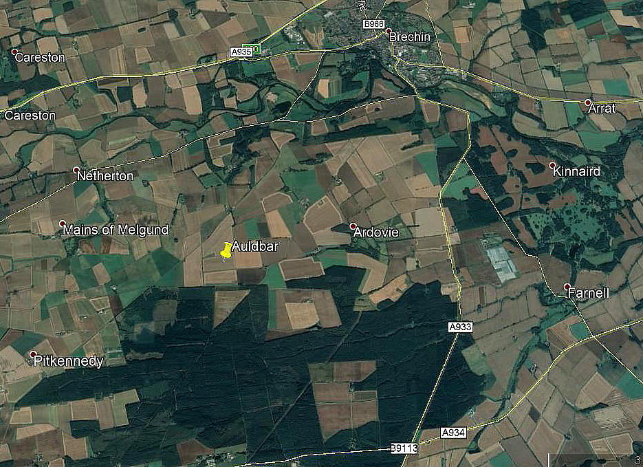
Note: This picture was obtained from Google Earth ©
This location was found on the Airfields of Britain Conservation Trust web-site. A huge help in producing this 'Guide'. But, they admit that this is only a guess.
Military user: RAF 22 (Operations) Group
78 Wing
Location: Again, a tricky one. Auldbar has it seems disappeared from modern maps. However, it was 3¾ miles from Auldbar Road railway station and E of the Auldbar to Brechin road
Period of operation: 1918 to 1919
NOTES: It seems this was a RAF mooring-out station for non-rigid airships attached to RAF LONGSIDE in and around the closing period of WW1, and may well have remained active for a short period beyond.
Quite why it was positioned so far inland, seems a mystery, but no doubt a simple enough reason can be explained?
One reason is that sites which offered natural protection from the prevailing winds, such as a suitable small clearing on the edge of woods, were much in favour. Oddly enough, if you look at the Google Earth picture, a perfect site site now exists just to the south of the marker. Could this have existed so long ago?
Who knows, but I have found a couple of airship out-mooring Stations where such a feature does still exist.
We'd love to hear from you, so please scroll down to leave a comment!
Leave a comment ...
Copyright (c) UK Airfield Guide


