Caistor flying sites
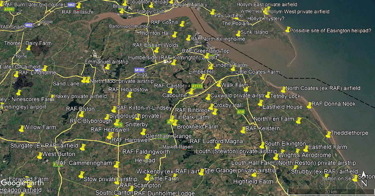
Note: This map only gives the location of the WW2 airfield.
CAISTOR see also CUXWOLD
CAISTOR: Military aerodrome
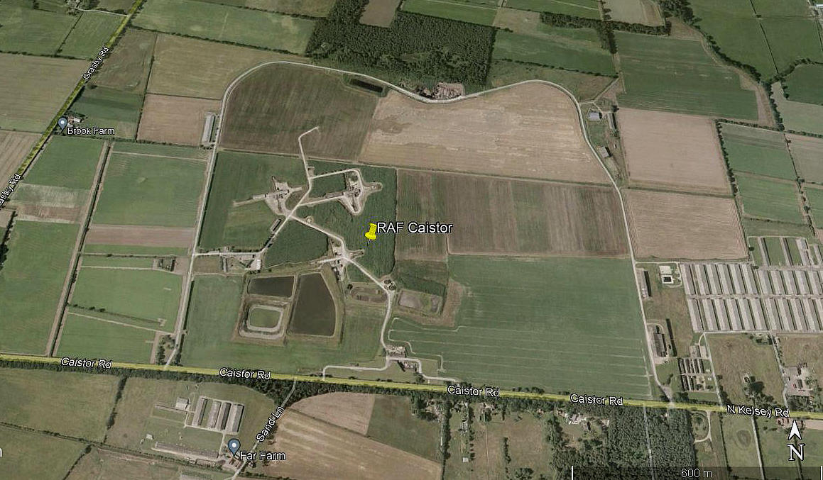
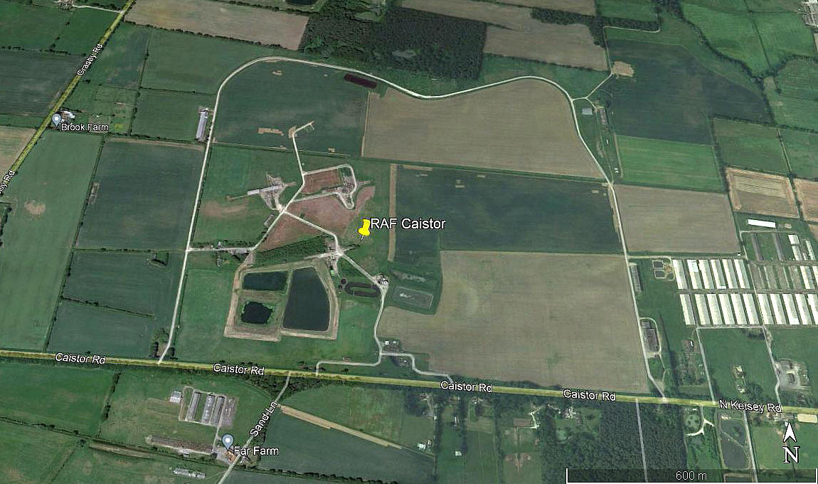
Note: The first two pictures were obtained from Google Earth ©. The local area and area views are from my Google Earth © derived database. What I think is well worth remarking upon is how, after all this time, the original perimeter track, defining the extent of this aerodrome, still stands out.
Military user: RAF 27 Group
No.1 Air Armament School (According to one source. But another inter-web search in 2016 seems to reveal that this never existed!)
15 (P) AFU [(Pilots) Advanced Flying Unit] (Airspeed Oxfords)
17 SFTS [Service Flying Training School] (North American T-6 Harvards)
53 OTU [Operational Training Unit] (Miles Masters and Vickers-Supermarine Spitfires)
RLG I suppose? [Relief Landing Ground] Royal College (CRANWELL) SFTS (Airspeed Oxfords & Miles Masters)
83 Sqdn (Hawker Hurricanes)
264 Sqdn (Boulton Paul Defiants)
93 & 233 MU [Maintenance Units]
Technical Training
Location: 5nm SE of Brigg
Period of operation: 1941 to 1945 Then 1959 to 1963
Runways: N/E 1005 grass NE/SW 1280 grass
E/W 1097 grass SE/NW 1325 grass
NOTES: It appears that during the 'Cold War' the decision was made to reopen CAISTER as a missile site, with 269 Squadron based here with PGM-17 Thors.
CAISTOR: Private airstrip
Operated by: Mr G H Kirke
Location: Near Caistor
Period of operation: ?
Runway: 03/21 470x35 grass
NOTES: Although it seems unlikely could this strip be on the site of the previous military aerodrome in this vicinity?
We'd love to hear from you, so please scroll down to leave a comment!
Leave a comment ...
Copyright (c) UK Airfield Guide


