Chipping Ongar
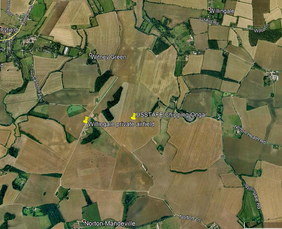
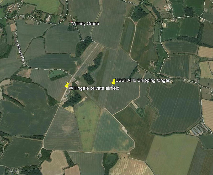
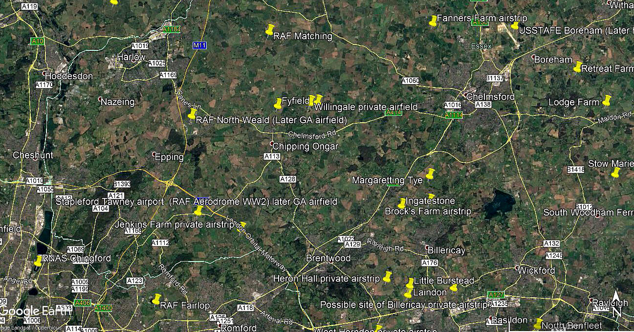
Note: The map shows the WW2 aerodrome location, and of course WILLINGALE
CHIPPING ONGAR: Civil aerodrome?
NOTES: I have found at least one report of a civil aerodrome being used in the vicinity of Chipping Ongar during the 1920s/1930s period. To date I have yet to find more substantial evidence.
CHIPPING ONGAR: WW2 military aerodrome (Known as WILLINGALE for later civil use)
Note: All three of these pictures were obtained from Google Earth ©
It clearly helps to have a WW2 map, which I have, to show that much evidence of the WW2 layout is still visible.
Military users: 9th USAAF 387th Bomb Group (Medium)
556th, 557th, 558th & 559th Sqdns (Martin B-26 Marauders)
Note: USAAF Douglas C-47s assembled here for the disasterous Rhine crossing attempt in The Netherlands. They could have been carrying paratroopers, or air dropping supplies and equipment, and possibly towing gliders too. Or all three. If you would like to know more there have been several good books published on the subject.
USSTAFE Air Disarmament
Operated by: Civil: See WILLINGALE listing
Location: Just SE of Fyfield, 7nm NW of Brentwood, 2nm NE of Chipping Ongar
Period of operation: 1920s and 30s? Military: 1943 to 1946.
Note: Flying Ops by the 387th BG(M) appear limited to a period from August 1943 to July 1944.
Some reports state the airfield remained on charge as a satellite to NORTH WEALD but with no flying, (or at least military flying), taking place until the site was closed in 1959.
(Limited civil usage possible from 1946 to - 1948?)
Runways: WW2 03/21 1828x46 hard 09/27 1280x46 hard
15/33 1280x46 hard
Terry Allison
This comment was written on: 2020-02-27 01:27:12Good info. Researching for a friend who's father flew in B-26's out of this base.
We'd love to hear from you, so please scroll down to leave a comment!
Leave a comment ...
Copyright (c) UK Airfield Guide


