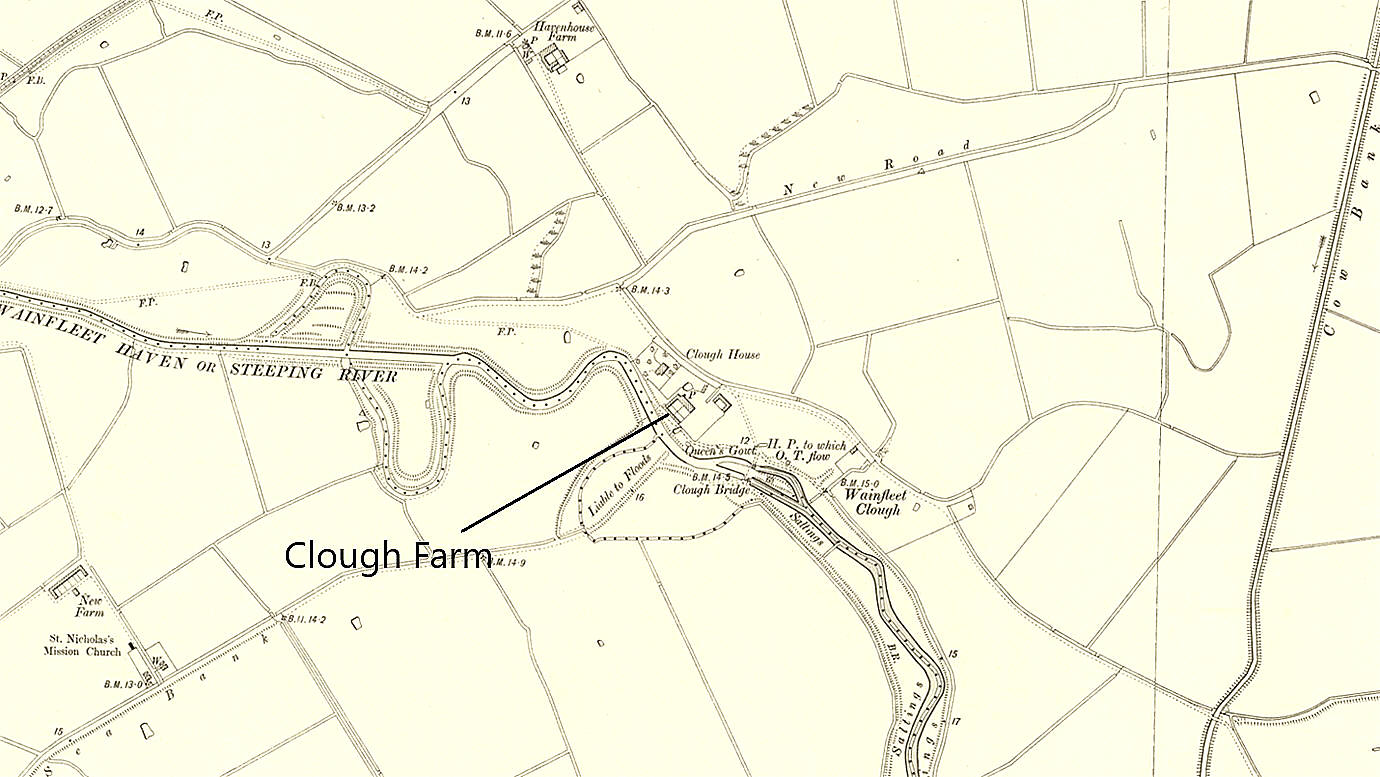
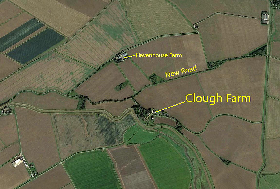
Clough Farm
CLOUGH FARM: Temporary Landing Ground
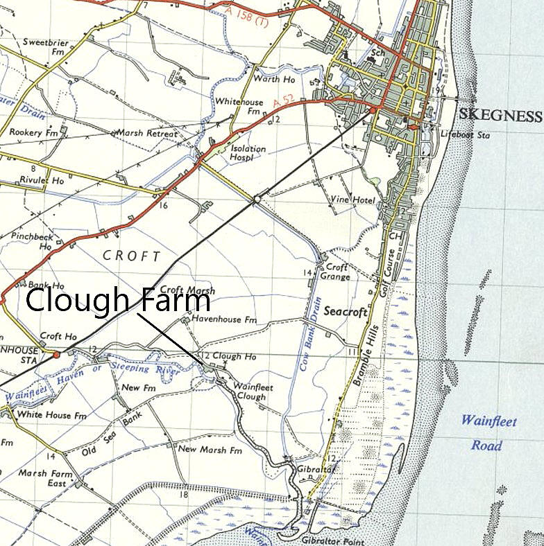
This is a most unusual if not unique set of circumstances, whereby a rural farm site used by Sir Alan Cobham in 1929, much later had a private airstrip/airfield laid out on the same farm! And, not only that, the farm in question has been in the ownership of the same family throughout.
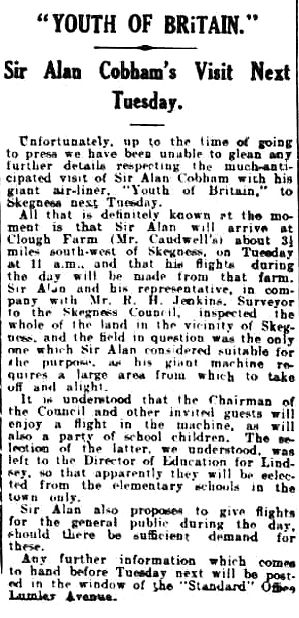
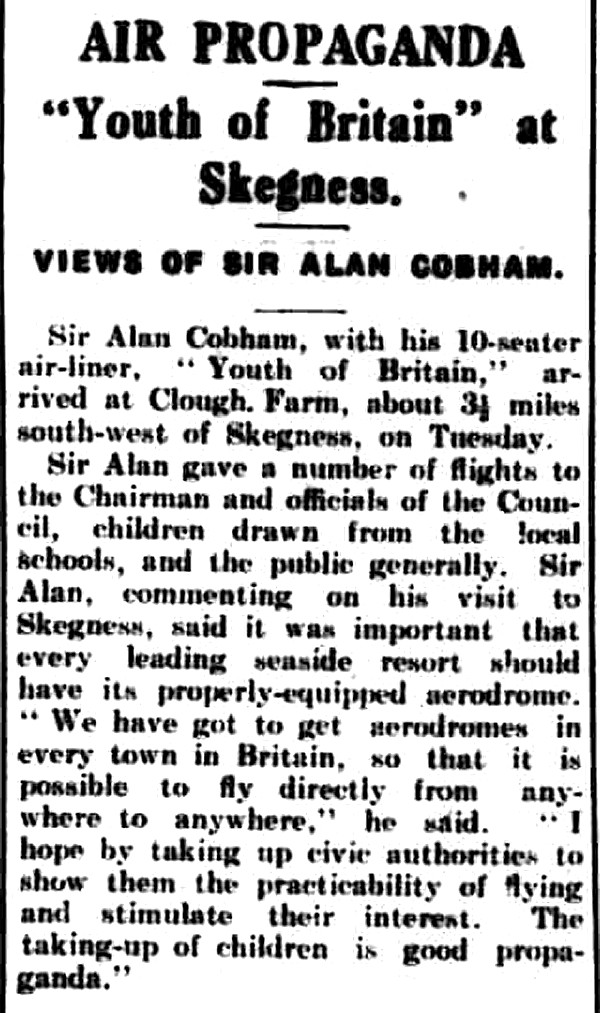
Sir Alan Cobham used CLOUGH FARM as his 42nd venue, on the 23rd July, during his 1929 Municipal Aerodrome Campaign. Using mostly the de Havilland DH61 'Giant Moth' (G-AAEV), he had intended to visit 107 venues, but a couple of crashes and other setbacks resulted in him visiting 97 venues. Even so, a quite magnificent achievement.
A MICHAEL T HOLDER GALLERY
The second item, a newspaper article, was published in the Skegness Standard on the 17th July 1929.
This fourth item, another newspaper article, was published in the Boston Guardian on the 27th July 1929. I have added the area view from my Google Earth © database.
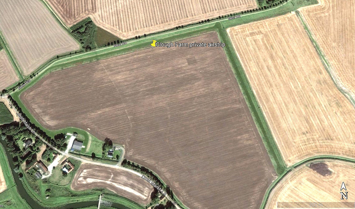
CLOUGH FARM: Private airstrip/airfield
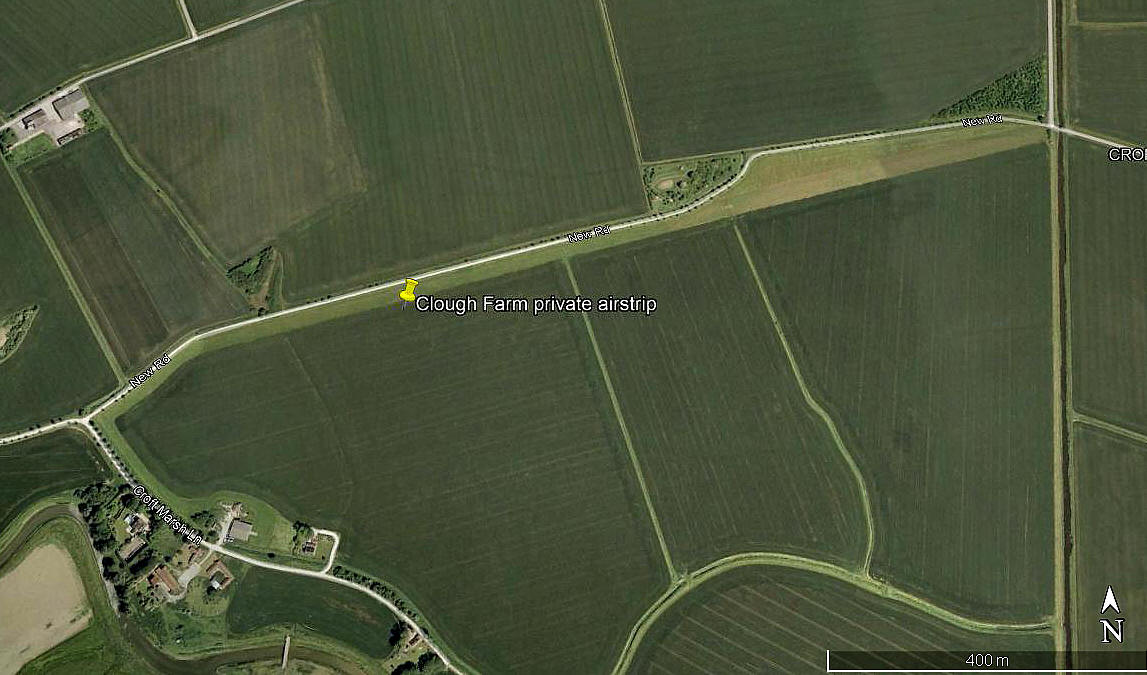
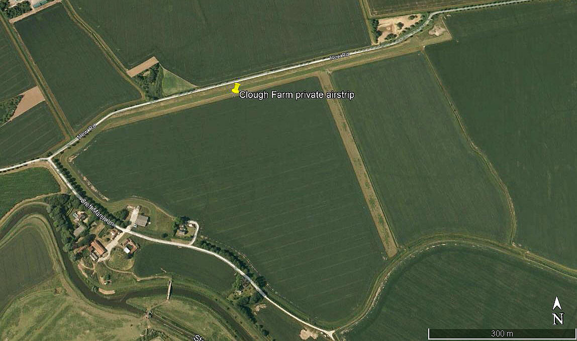
Note: All four of these pictures were obtained from Google Earth ©
Operated by: Mr C Caudwell
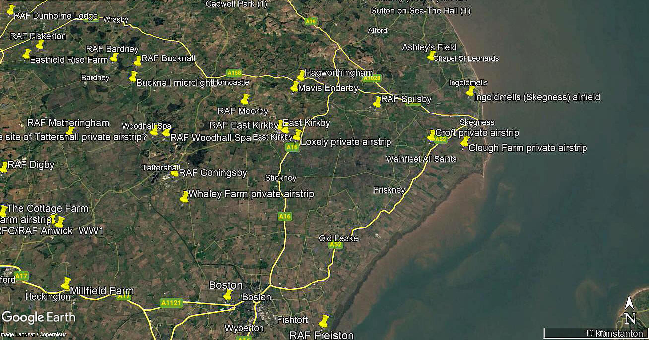
Location: 2.5nm SSW of Skegness town centre
Period of operation: Not known? Certainly from the 1990s until very roughly before 2019
Runway(s): Looking at the pictures above it is hard to determine exactly what these may have been, especially for the length of 08/26, so a degree of guesswork was needed.
1999: 08/26 1290 grass
2006: 08/26 1055 grass
2009: 08/26 880 grass (Possibly with 17/35 being laid out?
2012: 08/26 540 grass 17/35 470 grass
NOTES: As always in this 'Guide', if anybody can kindly offer advice and information, this will be most welcome. Plus of course, pictures are always much appreciated.
One aspect seems certain, and that is in the earlier days, the 08/26 runway was intended to be used by pretty serious high power types, presumably twin-engine types.
We'd love to hear from you, so please scroll down to leave a comment!
Leave a comment ...
Copyright (c) UK Airfield Guide


