Colonsay
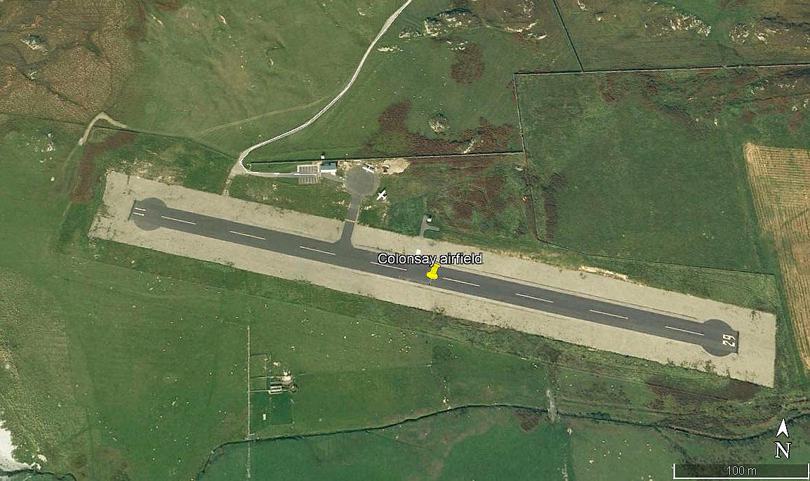
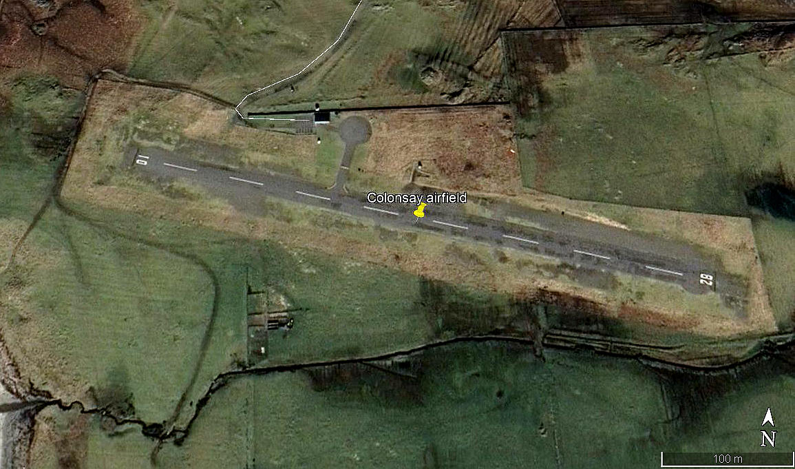
COLONSAY: Private airstrip, doubling as regional airport (also known as MACHRINS)
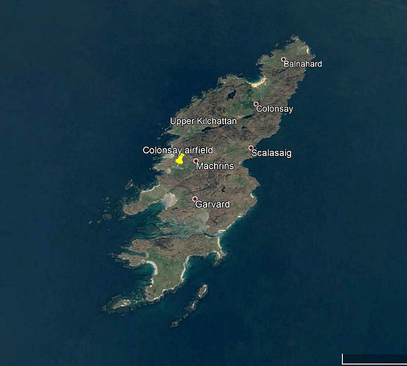
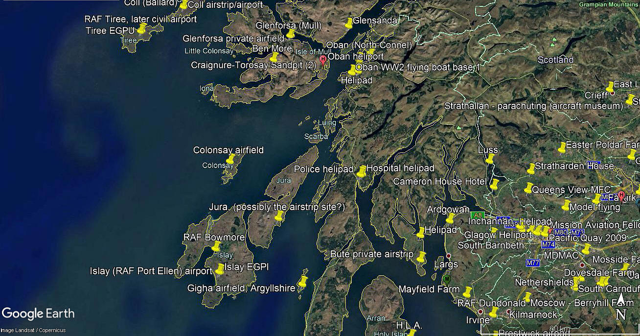
Note: All four of these pictures were obtained from Google Earth ©
Operated by: 1980s/1990s: Colonsay Airstrip Association
2000: Colonsay Estate
Airline user (2016 at least): Hebridean Air Services
(Note: On the web-site in 2016 they show a picture of the Hebridean Air Services Brittan-Norman Islander (G-HEBS) and explain that a twice weekly service connects the island to Oban.
Location: S of A870, 2nm SSW of Scalasaig, W side of Colonsay Island
Period of operation: 1980s (?) to -
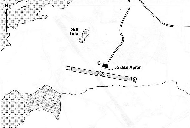
Note: This map is reproduced with the kind permission of Pooleys Flight Equipment Ltd. Copyright Robert Pooley 2014.
Runway: 1990: 12/30 500x30 grass?
1997: 11/29 500x30 hard
2001: 11/29 500x30 hard
2021: 10/28 500x30 hard
NOTES: As always in this 'Guide' advice will be most welcome, and pictures much appreciated.
We'd love to hear from you, so please scroll down to leave a comment!
Leave a comment ...
Copyright (c) UK Airfield Guide


