Copmanthorpe
COPMANTHORPE: Military aerodrome
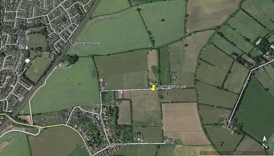
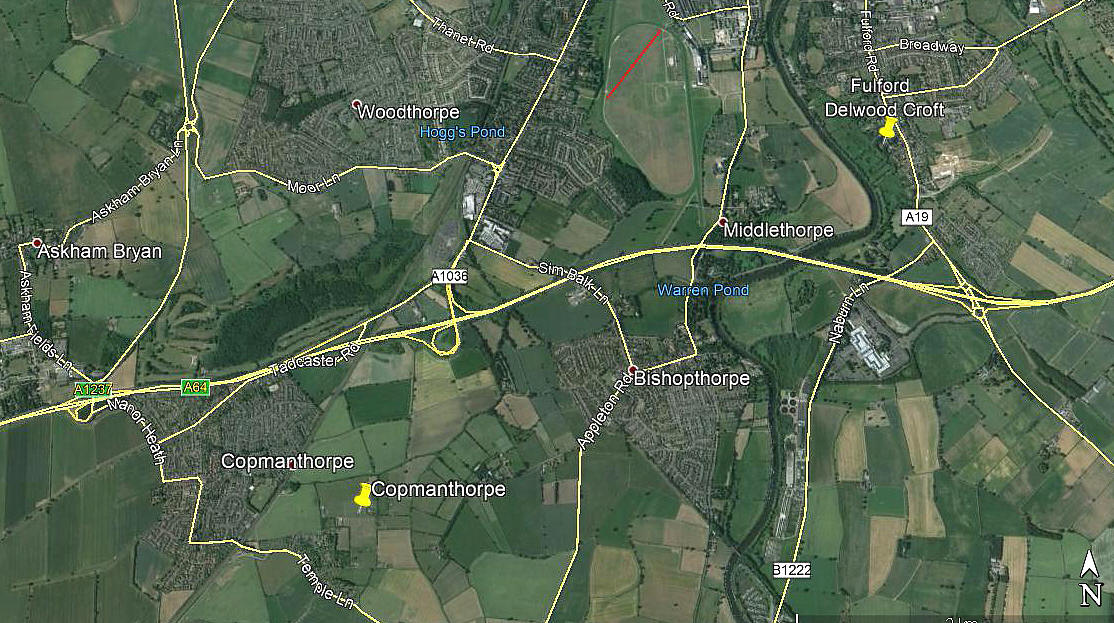
Note: Both of these pictures were obtained from Google Earth ©
I have to thank the Airfields of Britain Conservation Trust for confirming the position of this airfield. Although, to be fair, the existence of Drome Road is a bit of clue too.
Military users: RFC/RAF (Royal Flying Corps / Royal Air Force)
Home Defence Flight Station
33 [Home Defence] Sqdn: (Royal Aircraft Factory B.E.2, F.E.2, Bristol F2B Fighter & Avro 504)
57 [Home Defence] Sqdn: (Avro 504, Royal Aircraft Factory B.E.2 and F.E.2d)
76 [Home Defence] Sqdn: (Royal Aircraft Factory BE.2, BE.12 and later Bristol F2B Fighter)
Training Squadron Station
Location: 3nm SW of York city centre. Today the village of Copmanthorpe is just SE of the interchange on the A64 where the A1237 splits N to become the northern York ring road
Period of operation: 1916 to 1919
Site area: 96 acres 640 x 549
We'd love to hear from you, so please scroll down to leave a comment!
Leave a comment ...
Copyright (c) UK Airfield Guide


