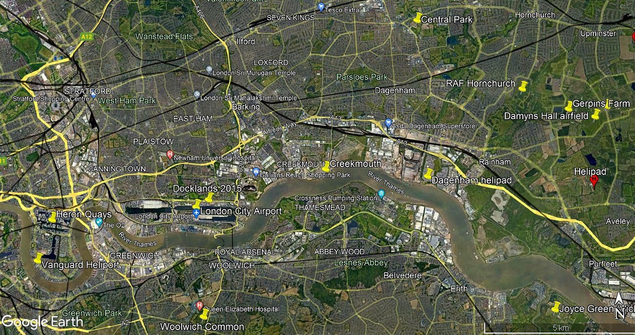
Creekmouth
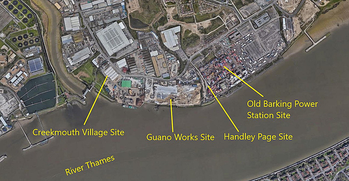
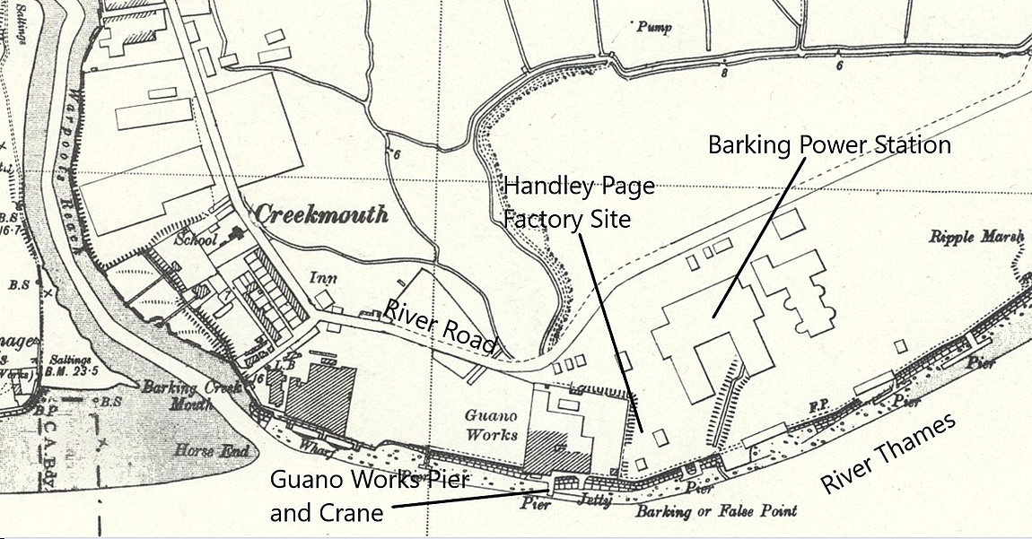
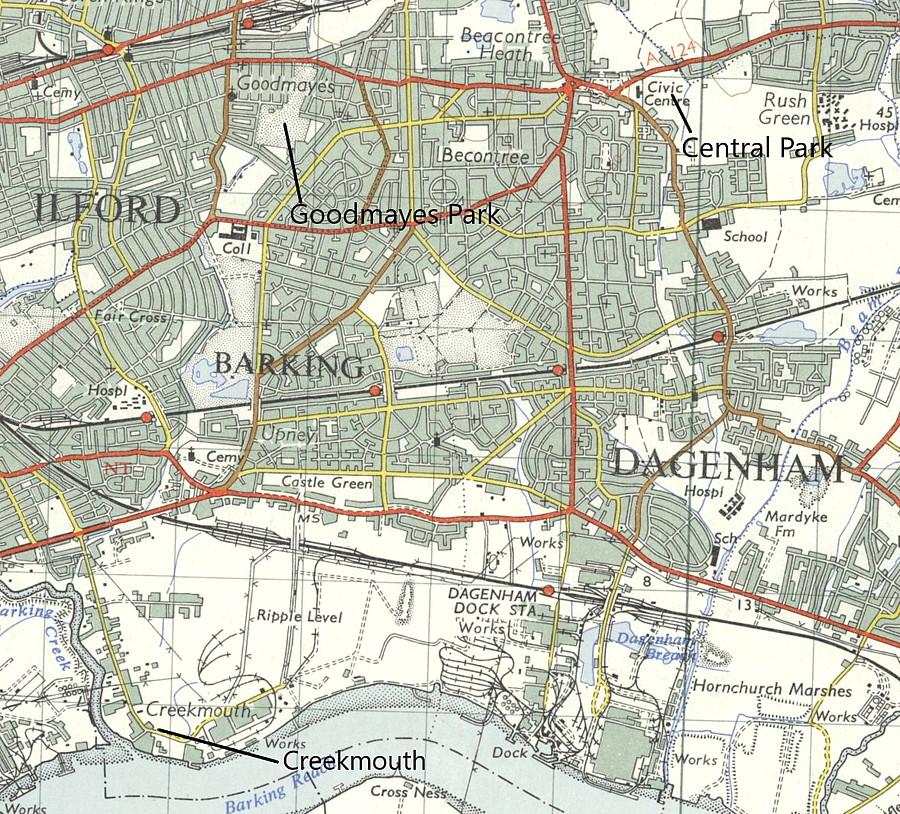
Note: This map gives the location of the Handley Page factory and aerodrome
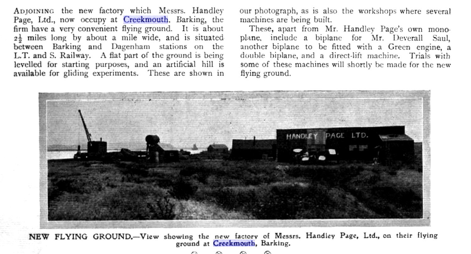
CREEKMOUTH: Aircraft factory and aerodrome
Note: See also the listing for BARKING FLYING SITES for more information about BARKING CREEK and Handley Page.
Operated by: Handley Page
Period of operation: 1909 to 1912
Over the years I have found quite a bit of confusion regarding what this location should be known as. Often being referred to as BARKING CREEK and BARKING MARSHES. The former being really quite misleading. Fortunately we have Mr Mike Holder, a great friend of this 'Guide' to thank for investigating the subject.
A MICHAEL T HOLDER GALLERY
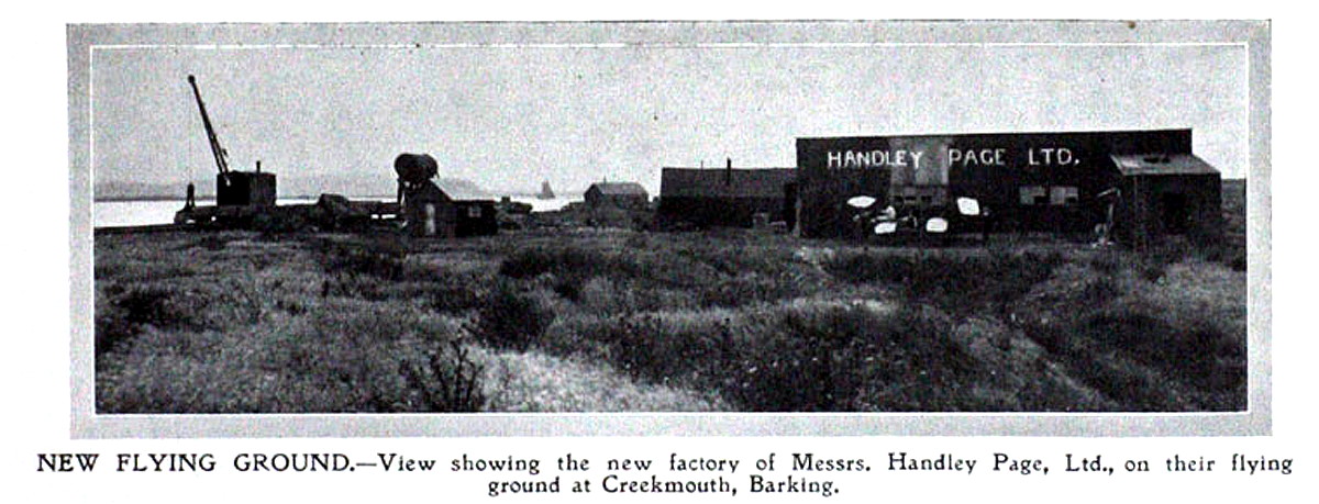
Note: The second item was published in Flight magazine on the 21st August 1909:
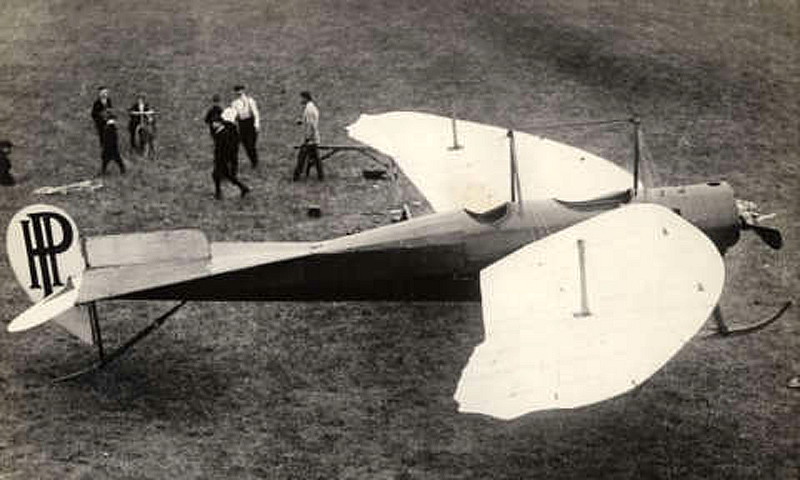
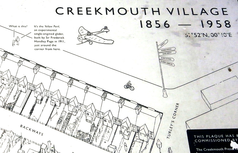
Note: This fourth item, a photo of the Handley Page 'Yellow Peril' came from the Creekmouth Preservation Society, who have erected a plaque nearby.
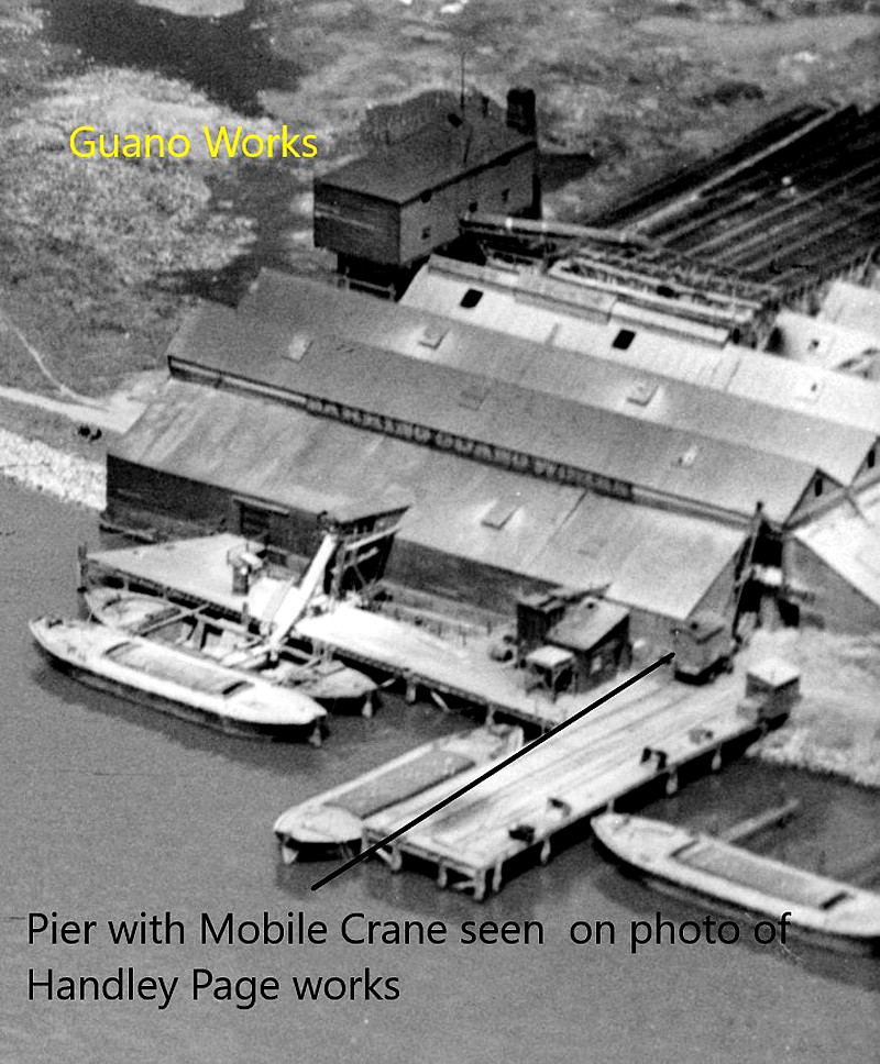
Note: The ninth item is from the Creekmouth Preservation Society.
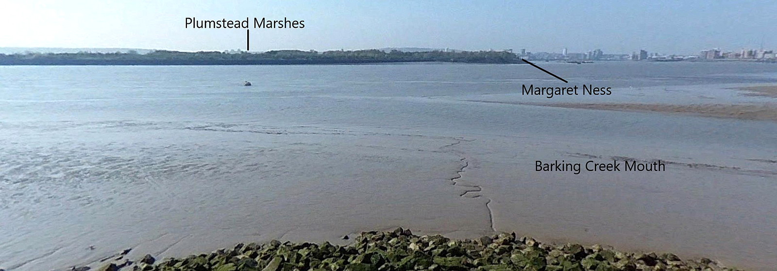
Note: The view across the Thames from CREEKMOUTH is from Google Earth © Street View:
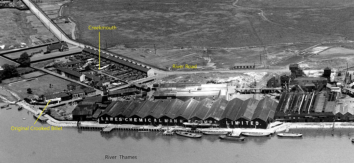
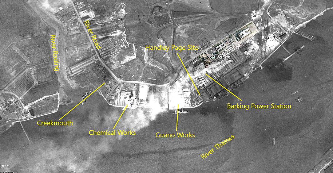
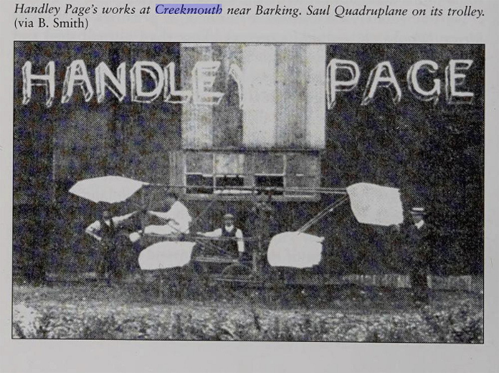
Note: The second item, is from Essex and its Race for the Skies, 1900 to 1939, by Graham Smith. The local area view is from my Google Earth © derived database.
NOTES: When Handley Page decided that this location suited his needs, it was then on the outskirts of London. The maps and pictures above clearly shows the very rapid expansion of East London, especially along the north bank of the River Thames, during WW1 and the 1930s, and indeed for decades later. Mostly fuelled by the needs of industry and commerce, with of course the housing required for the workers. Many people around the UK, especially in the Midlands and the North, like to think they have a heritage of bleak industrial areas. Not so.
Perhaps worth mentioning is that from around 2015 a new road was made, just north of this location, called Handley Page Road. Have to wonder how many people today, using this road, have any idea about why it is called this? Or indeed who Handley Page was?
CREEKMOUTH: Private later military airship station
Military user: RNAS (Royal Naval Air Service)
Location: On the N bank of the River Thames and E of the River Roding
Period of operation: Around 1916
NOTES: Creekmouth is still a recognised area today. It appears that the RNAS took over the site in June 1916 for the aborted MacMechan airship project.
We'd love to hear from you, so please scroll down to leave a comment!
Leave a comment ...
Copyright (c) UK Airfield Guide


