Now having 7,000 + listed!

Probably becoming the most extensive British flying sites guide online...?

portfolio1 portfolio2 portfolio3 portfolio4

Heading 1

This is an example of the content for a specific image in the Nivo slider. Provide a short description of the image here....

Heading 2

This is an example of the content for a specific image in the Nivo slider. Provide a short description of the image here....

Heading 3

This is an example of the content for a specific image in the Nivo slider. Provide a short description of the image here....

Heading 4

This is an example of the content for a specific image in the Nivo slider. Provide a short description of the image here....

small portfolio1 small portfolio2 small portfolio3 small portfolio4
themed object
A Guide to the history of British flying sites within the United Kingdom
get in touch

Croft -RAF


CROFT: Military aerodrome later private airstrip      (Aka NEASHAM)

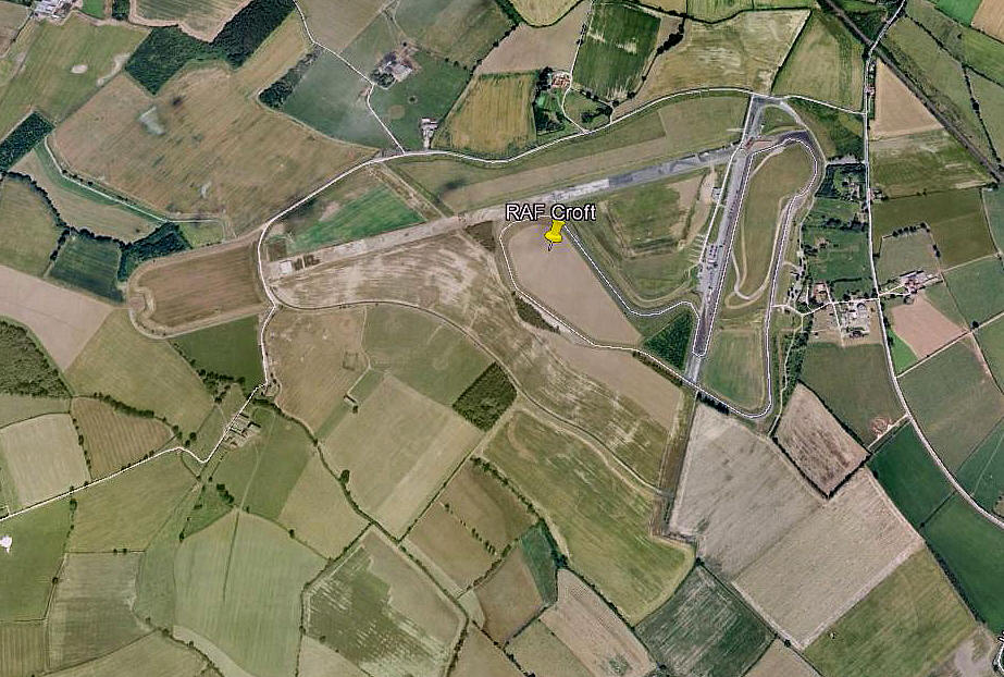
Aerial view in 2001
Aerial view in 2001
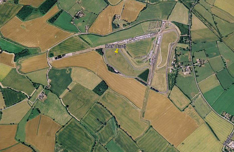
Aerial view in 2006
Aerial view in 2006
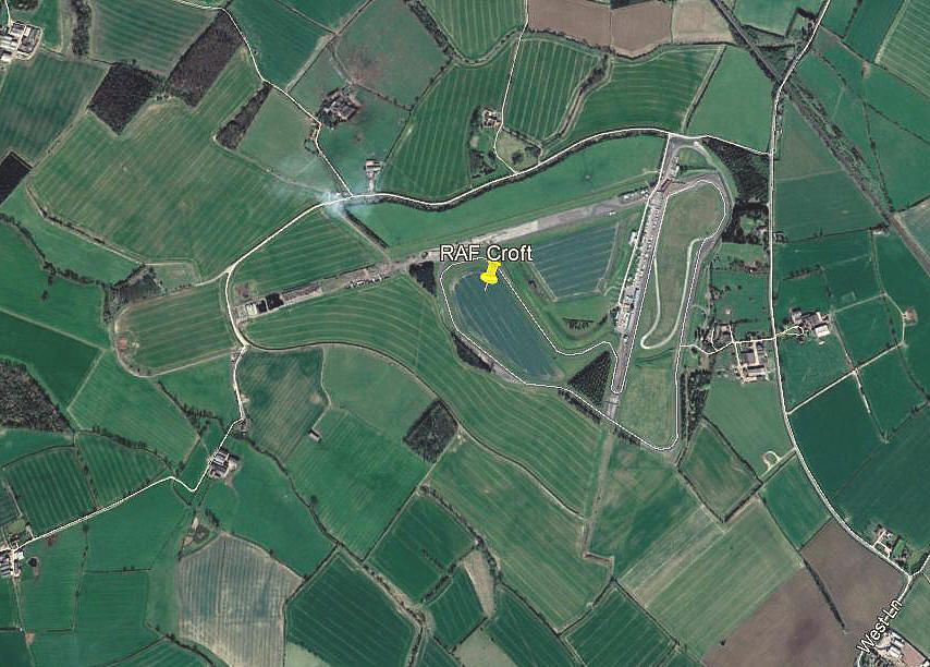
Aerial view in 2012
Aerial view in 2012
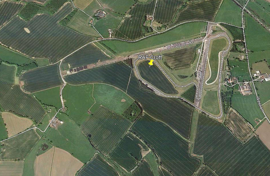
Aerial view in 2018
Aerial view in 2018

Note: All these pictures were obtained from Google Earth ©


Military users: WW2: RAF Bomber Command            6 Group

78 Sqdn  (Armstrong-Whitworth Whitleys)

427 (RCAF) Sqdn     (Vickers Wellingtons)

419, 431 & 434 (RCAF) Sqdns   (Handley Page Halifaxs)

Note: 434 Sqdn at least, later equipped with Avro Lancasters


Location: 2nm W of A167, SW of Dalton on Tees, 4nm S of Darlington

Period of operation: Military: 1941 to 1946             Civil: 1980s only?
 

Runways: WW2: 08/26   1828x46   hard           14/32   1280x46   hard 
                         02/20   1280x46   hard


THE AIRSTRIP

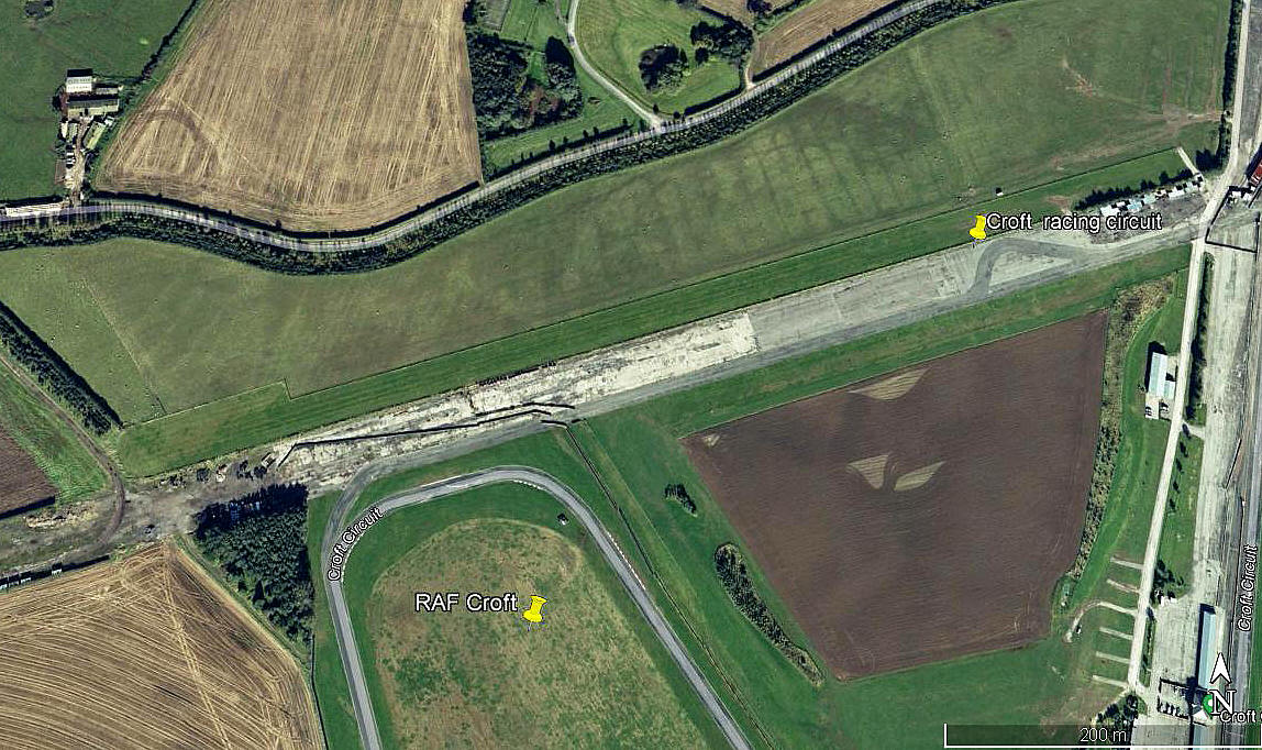
Aerial view 2009
Aerial view 2009
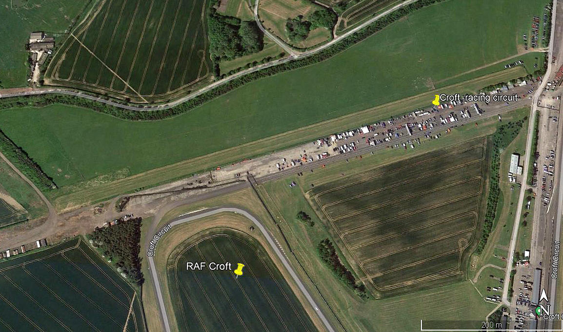
Aerial view 2020
Aerial view 2020


Runway:   07/25   780   grass

Period of operation:  Unknown?

Location:  Running across the north side of the WW2 airfield


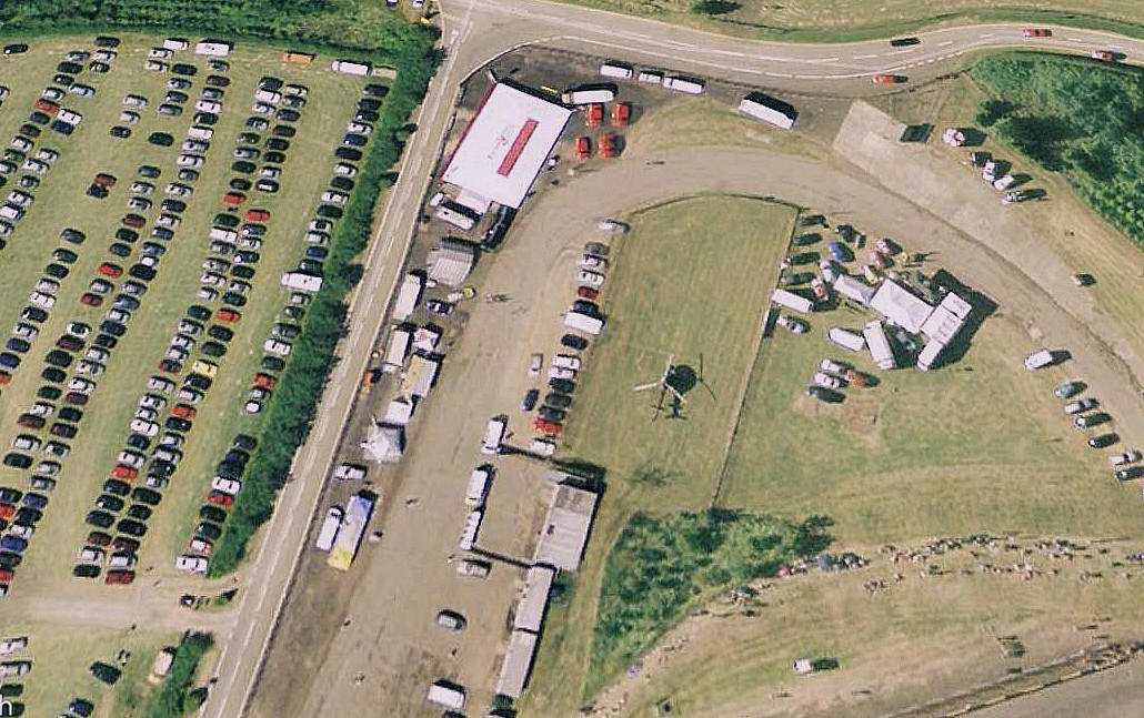
NOTES: In 1998 listed as CROFT AUTODROME with a helipad/helicopter landing area.

Aerial view of helipad in 2006

Note: This picture was obtained from Google Earth ©

At that time at least, the helipad was at the north end of what was runway 02/20. Did they only expect one helicopter to visit?


If anbody can kindly offer advice about the period this site was used as a private airfield, this will be much appreciated.


We'd love to hear from you, so please scroll down to leave a comment!


Leave a comment ...


Name
 
Email:
 
Message:


Copyright (c) UK Airfield Guide


slide up button