Davidstow Moor
DAVIDSTOW MOOR: WW2 military aerodrome later civil aerodrome
(Did this aerodrome develop from DAVIDSTOW TYLANDS CORNER?)
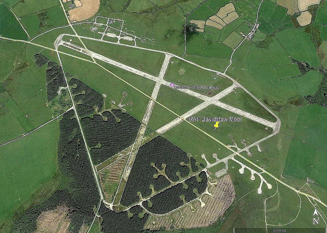
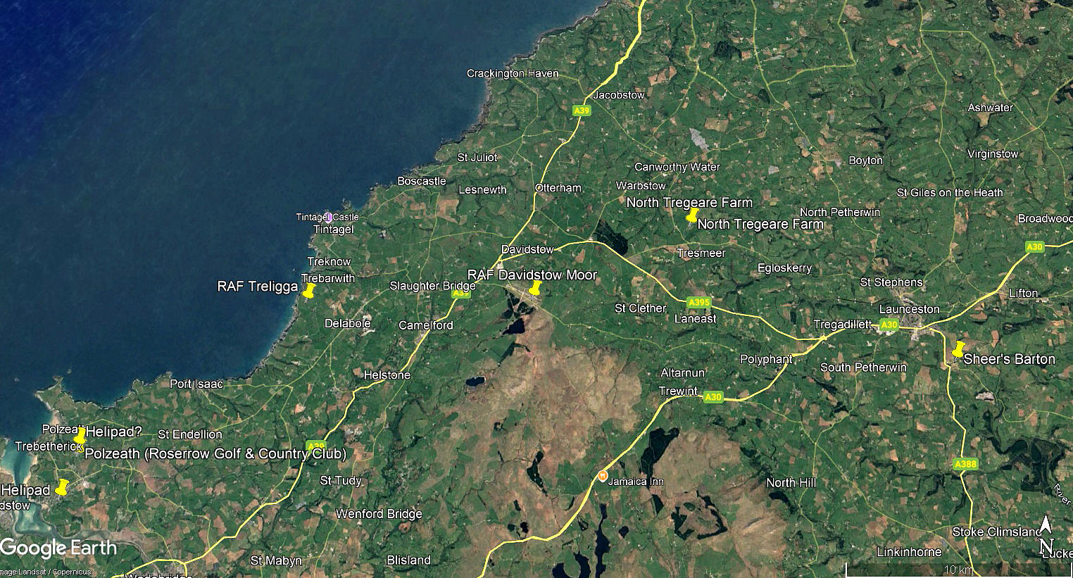
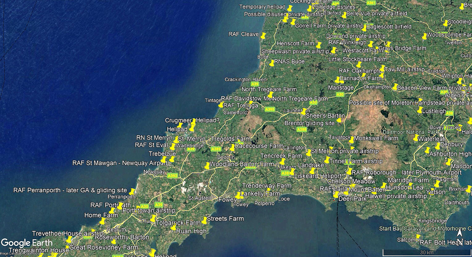
The aerial view was obtained from Google Earth ©. The local area and area views are from my Google Earth © derived database.
Military users: WW2: RAF Coastal Command 19 Group
279 (ASR) Sqdn (Lockheed Hudsons)
282 (ASR) Sqdn (Supermarine Walrus & Sea Otters and Vickers Warwicks)
404 (RCAF) Sqdn (Bristol Beaufighters)
Civil operator: Post 1945: The Moorland Flying Club
Activities: Post 1945: GA private, training and microlights
Flying school: Post 1945: Moorland Flying Club
Much later: Davidstow Flying Club
Gliding: 1981: Albatross Gliding Club
Weekends in 1990
Location: 3 nm ENE of Camelford, 10nm W of Launceston
Period of operation: Military 1942 to - ? Civil from ?
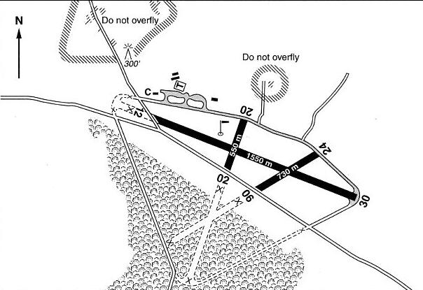
Note: This map is reproduced with the kind permission of Pooleys Flight Equipment Ltd. Copyright Robert Pooley 2014.
Original runways: WW2: 03/21 1280x46 hard 06/24 1280x46 hard
12/30 1829x46 hard
Existing runways 2000: 02/20 550x46 hard 06/24 730x46 hard
12/30 1550x46 hard
Runways in 2024: 02/20 383 hard 06/24 479 hard 12/30 434 hard
A VISIT in AUGUST 2024
Sometimes you have to confess. On a visit to family and friends in the West Country, arriving in Exeter found that I had left my camera at home. For me a bit like leaving my right arm at home - so clearly old age doesn't just beckon, I'm there - a silly old fool. Anyway, with help from my daughter and her partner a reasonably priced snapometer was acquired, mainly because I was then staying with friend living near Truro and we had planned, for my benefit to visit DAVIDSTOW MOOR.
Driving down the access road we were surprised to discover not one but two museums. (See my article on museums etc). So after spending some time in these, we drove onto the airfield with a gale blowing. In fact, if facing into wind I could not get the car door opened sometimes - had to turn it through nintety degrees to get out for some snapography. Was surprised to find, more or less, I managed to get the horizon level.
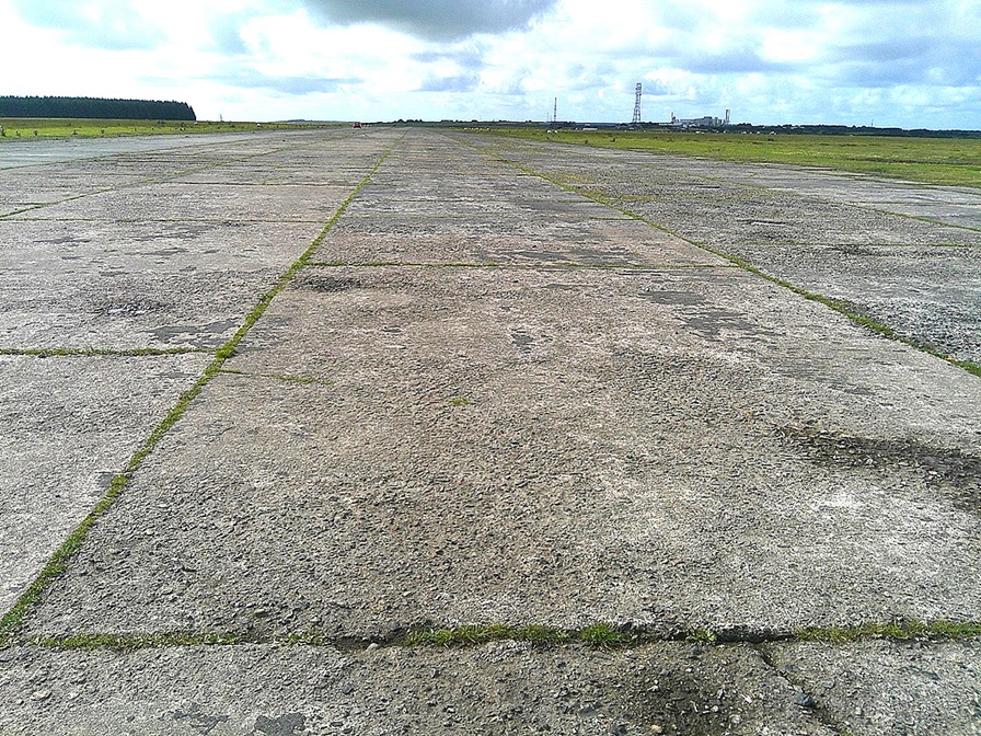
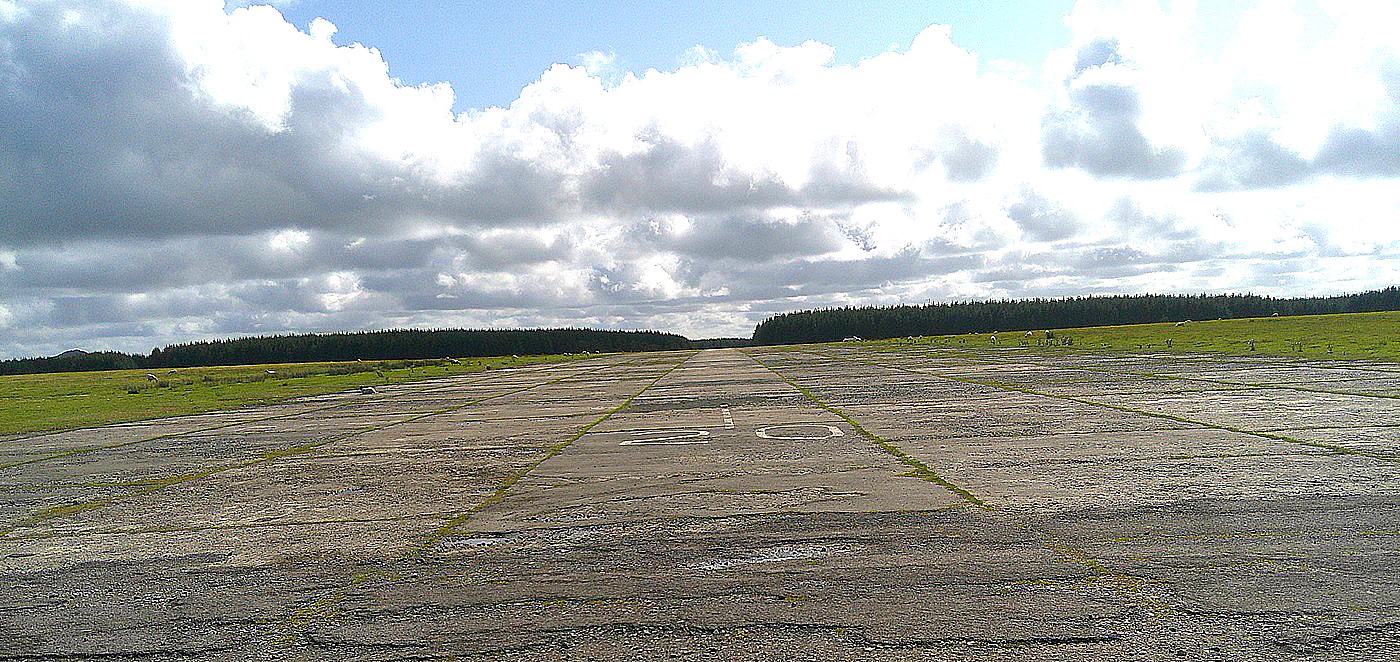
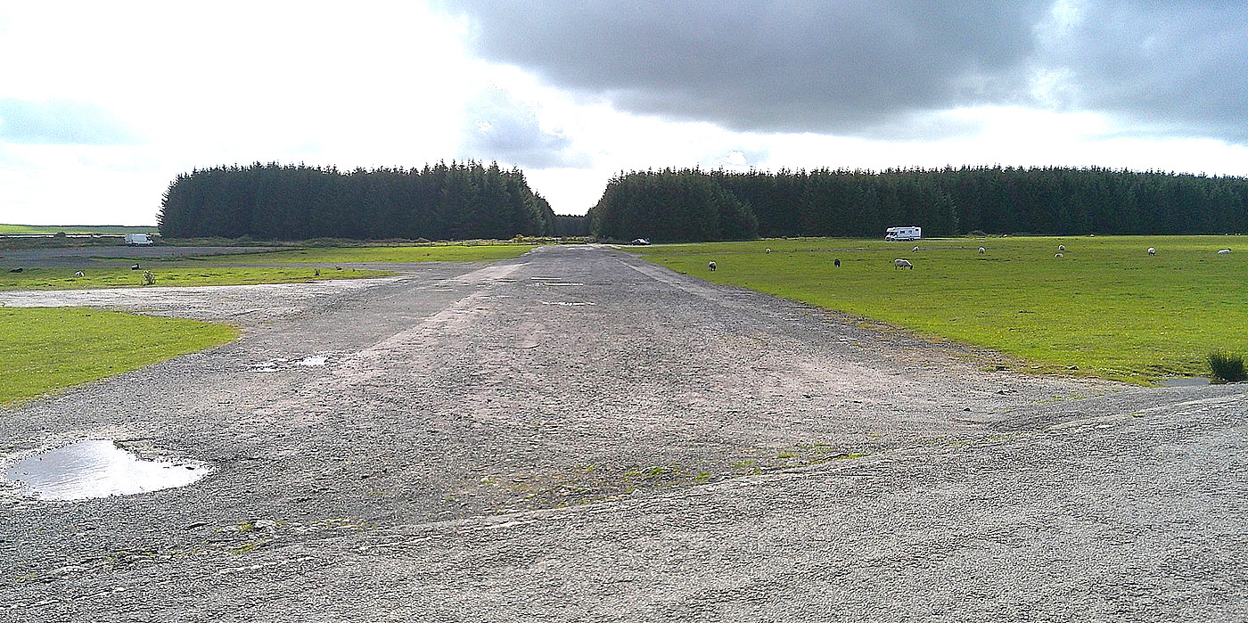
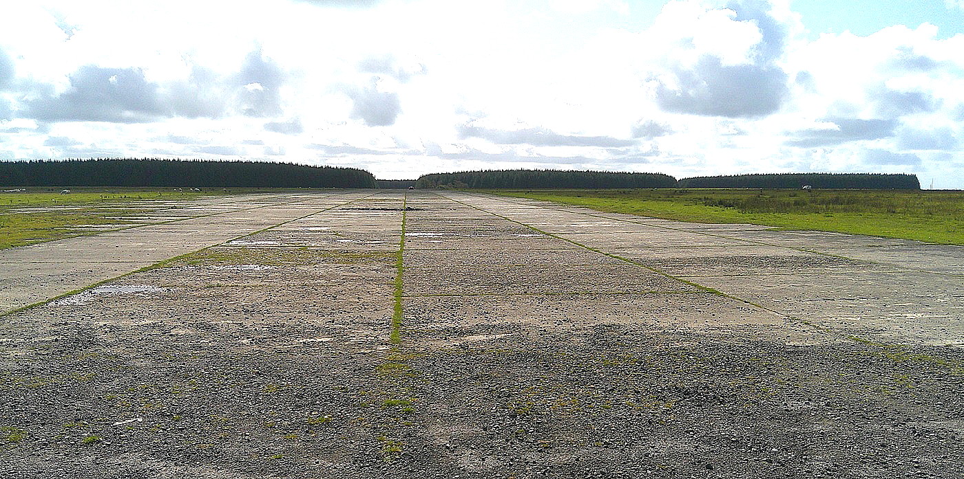
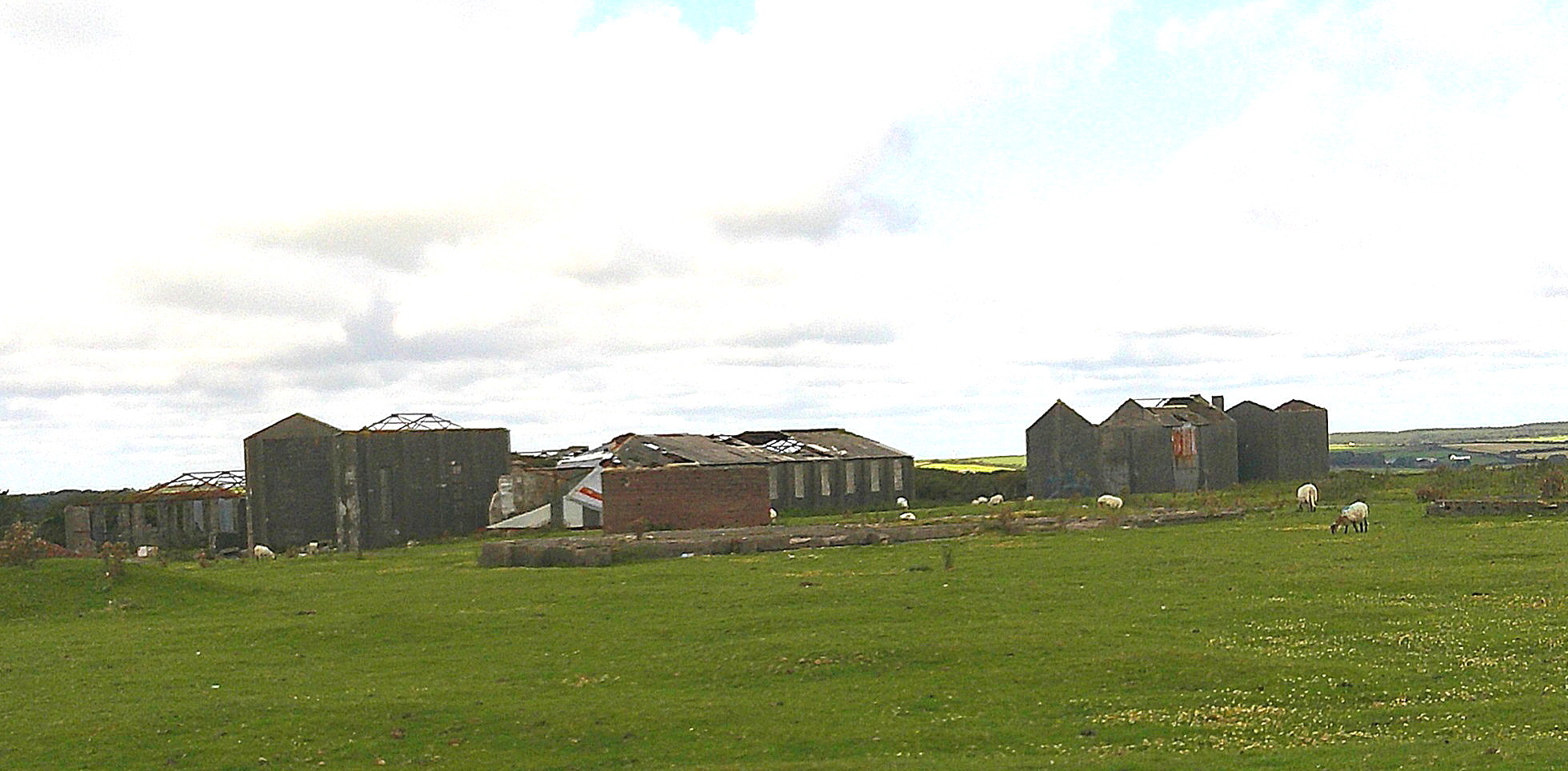
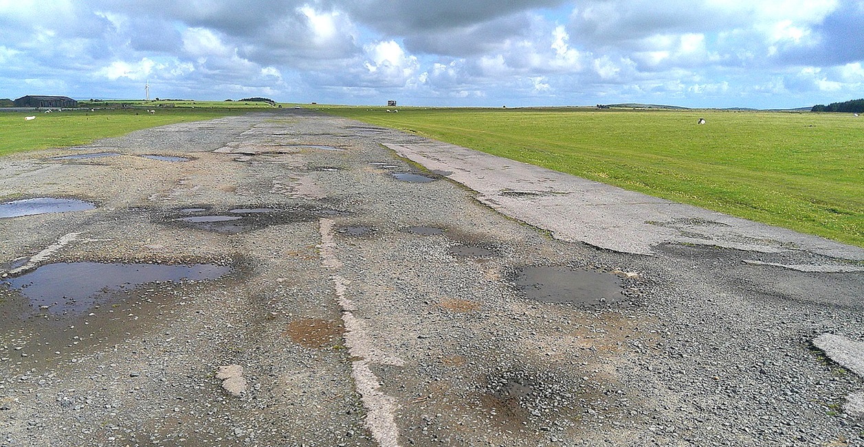
Long story short that camera was not compatible with Windows Eleven so it was in October before I found a way to get the pictures. I mention this simply because I may not have the runway pictures correctly captioned? If not, advice will be much appreciated.
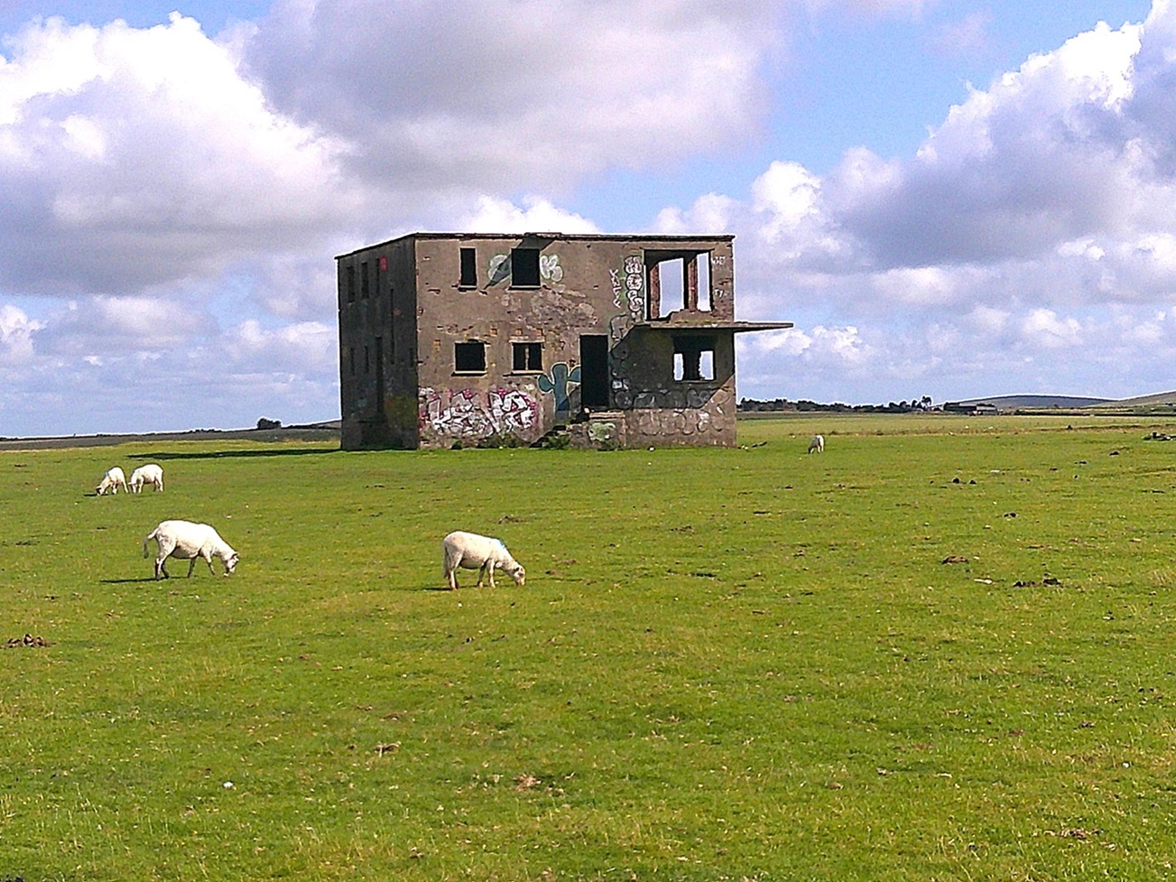
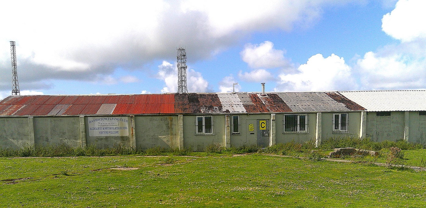
Photo One is of the Davidstow Flying Club building. No flying going on during that day of course.
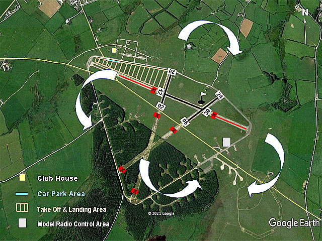
Note: The circuit diagram in 2024 was obtained from the Davidstow Flying Club website.
We'd love to hear from you, so please scroll down to leave a comment!
Leave a comment ...
Copyright (c) UK Airfield Guide


