Deenethorpe
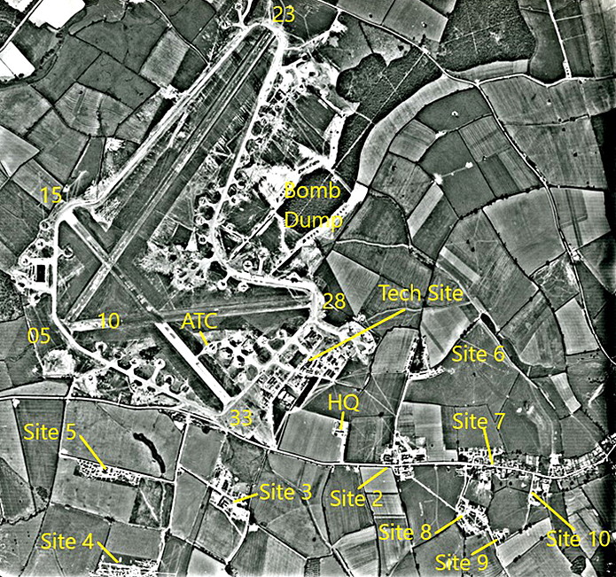
DEENETHORPE: Military aerodrome later civil private airfield
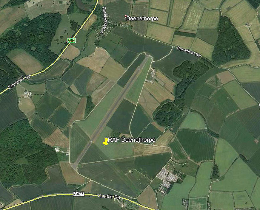
Note: This picture (2018) was obtained from Google Earth ©
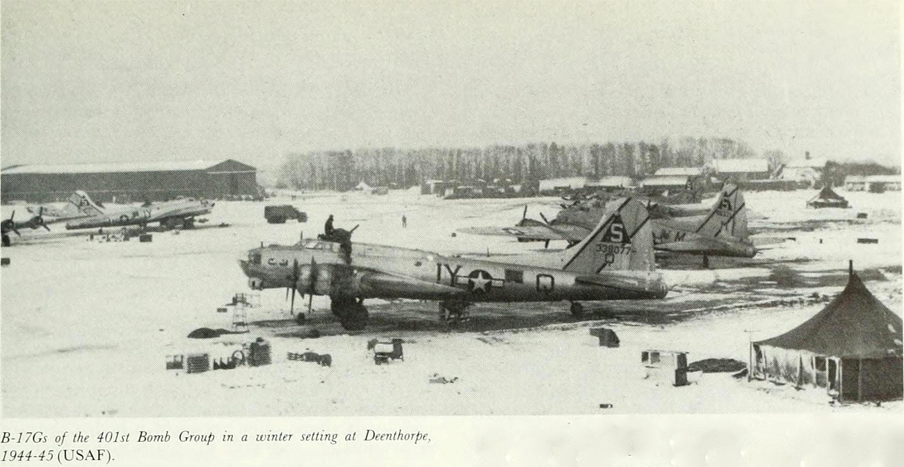
Yet another splendid example of a WW2 airfield which can still be clearly seen, in its entirety, seventy years later.
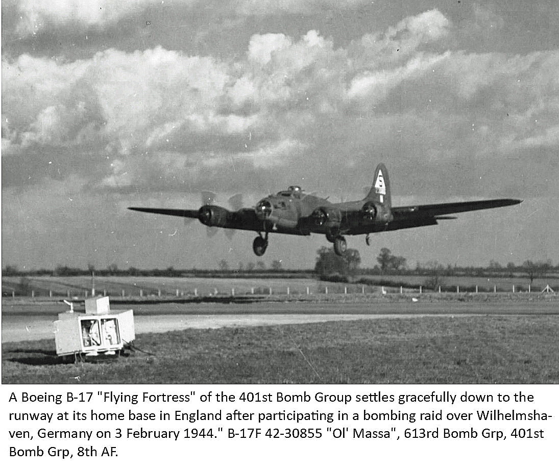
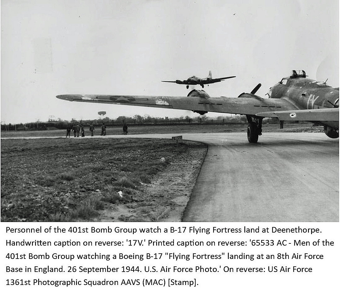
Military users: WW2: 8th USAAF 94th Bombardment Wing
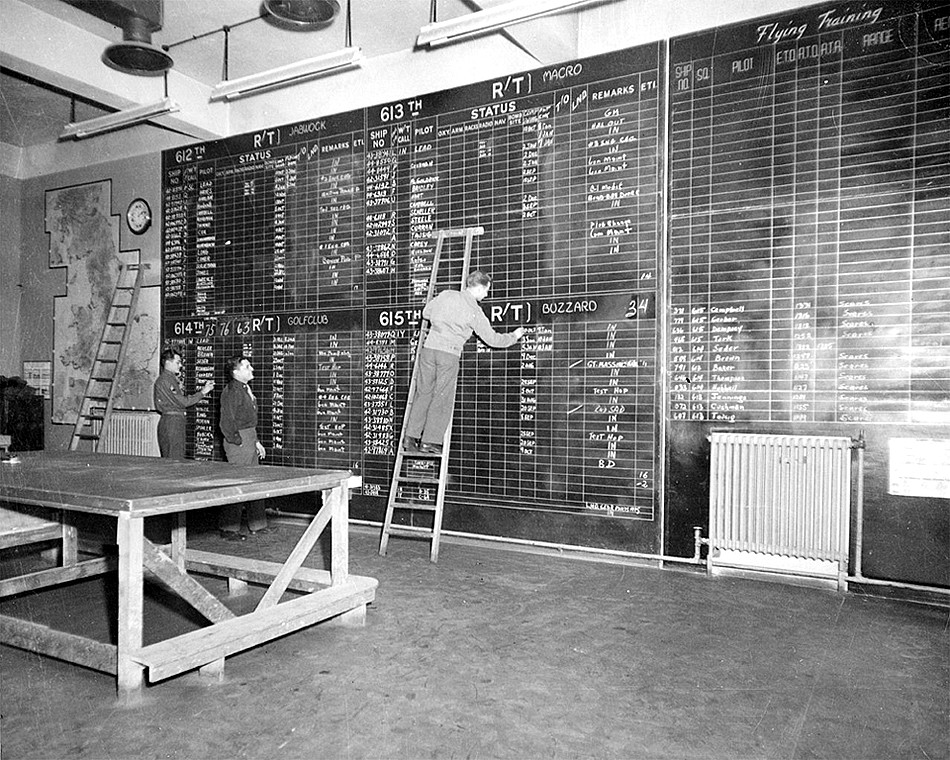
401st Bomb Group
612, 613, 614 & 615 Sqdns (Boeing B.17 Fortress)
Operated by: 2000: Mr A P I Campbell
Civil activities: GA private
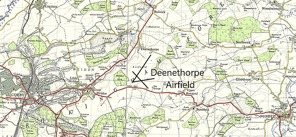
Location: 4nm E of Corby, 9nm NNE of Kettering
Period of operation: Military 1943 to 1946. Then civil ? to present day
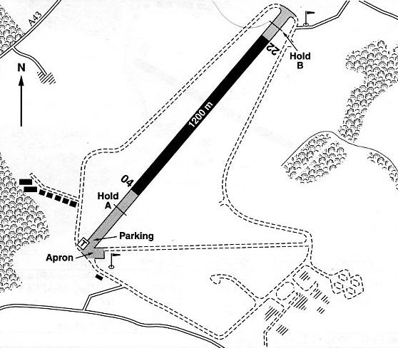
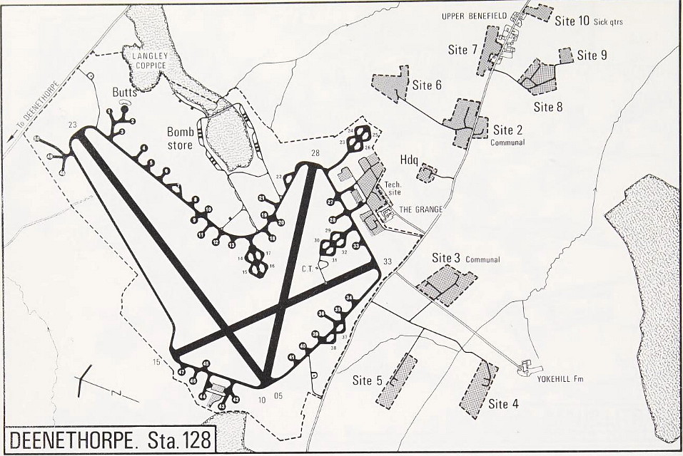
Note: This map is reproduced with the kind permission of Pooleys Flight Equipment Ltd. Copyright Robert Pooley 2014.
Runways: WW2: 05/23 1829x46 hard 10/28 1280x46 hard
15/33 1280x46 hard
2000: 04/22 1200x43 hard (1200x23 in a 2001 flight guide)
A MICHAEL T HOLDER GALLERY
Note: The second and third items are from the American Air Museum.
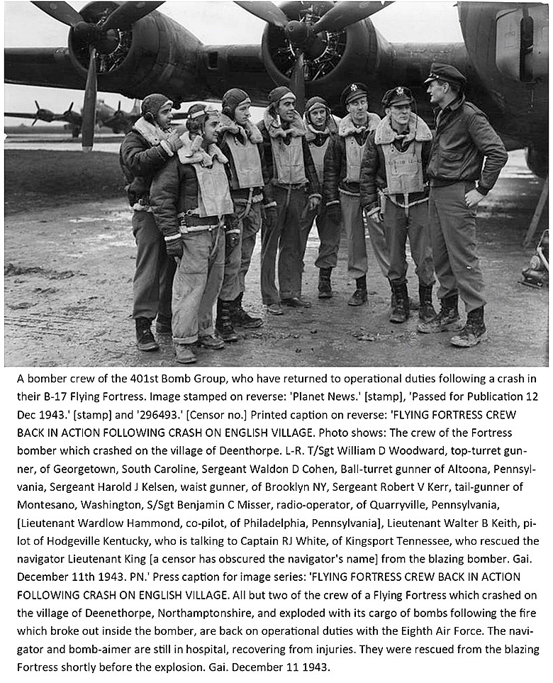
Note: All three items are from the American Air Museum.
Note: All three of these pictures are from the American Air Museum.
NOTES: Mr Graham Frost, a great friend of this 'Guide', tells us that the Hawker Siddeley HS.125-400B executive jet, (G-AYEP), owned by British Steel from 04.06.70 to 17.12.76, paid at least one visit here in April 1976. (Before going to Yemen in 1977). Probably several visits (?) as the British Steel plant at Corby was fairly nearby.
A PERSONAL NOTE:
We flew in here with the Piper PA-28-161 Cherokee Warrior G-BTKT on the 28th May 1999. This was the third stage in a 'treasure hunt' from TOP FARM. On that day the event was part of the proceedings to raise money for a local childrens hospice, and those children well enough were welcomed at the airstrip, and indeed, if they wished they could have a local flight, which included the childrens favourite carer(s).
When South Cambridgeshire County Council heard about this they regarded such activity as being utter delinquency and it helped them decide to ban all flying from the County except for CAMBRIDGE airport and DUXFORD. Fortunately this endeavour failed, but, even so severe restrictions were imposed - putting paid to any future similar endeavours supporting the hospice.
We'd love to hear from you, so please scroll down to leave a comment!
Leave a comment ...
Copyright (c) UK Airfield Guide


