Deeping St James 2
DEEPING St JAMES (2): Private airstrip
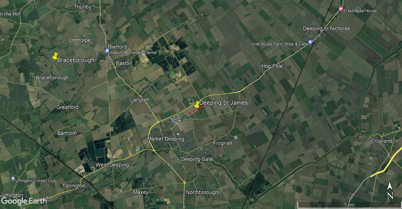
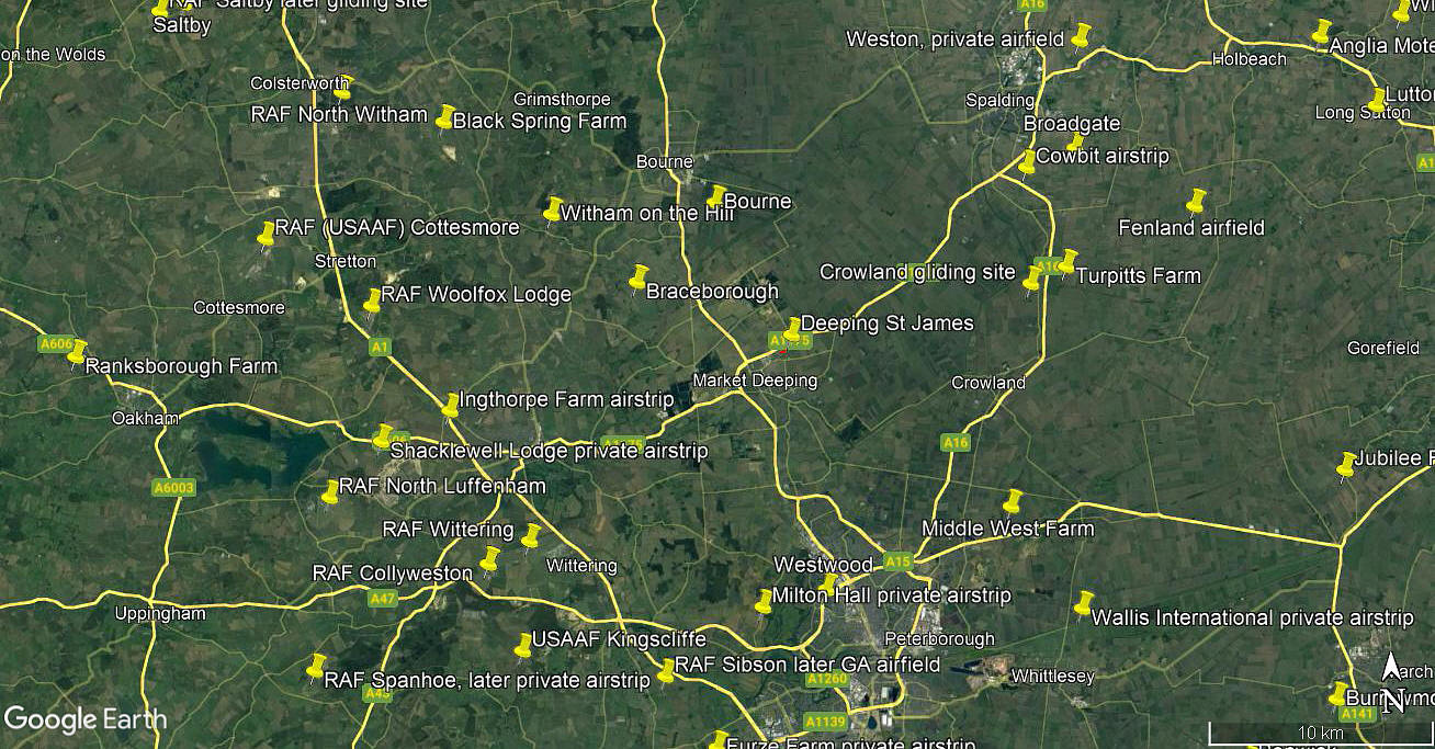
Note: The aerial detail was obtained from Google Earth ©. The local area and area views are from my Google Earth © derived database.
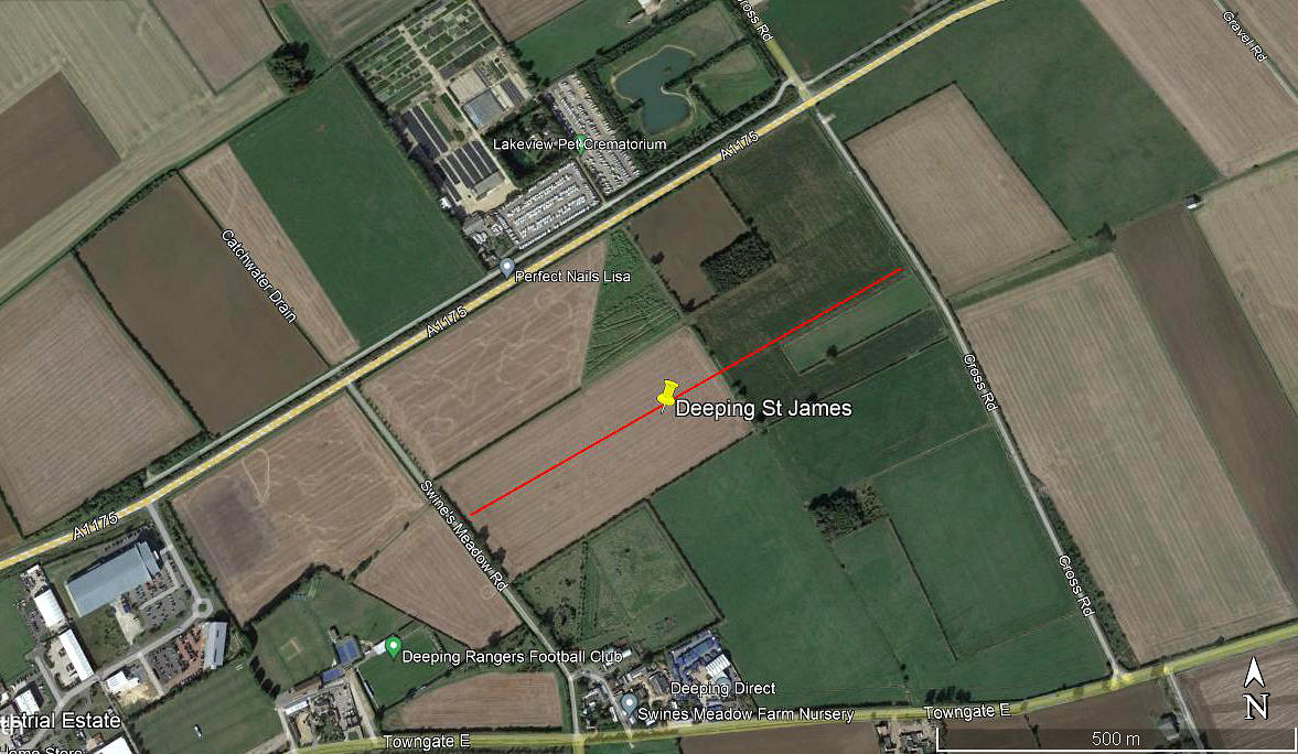
Location: S of the A1175, just NE of Market Deeping which is on the A15. Roughly 8.5nm NNW of Peterborough city centre
Period of operation: Probably 1963 to 1974?
Runway: Unknown? Possibly 06/24 400 to 740 (?) grass
Note: Performance figures for the Tri-Pacer give a take-off run to 50ft as being 490 metres. So, especially if lightly laden, 400 metres is perfectly feasible.
NOTES: We have Mr Graham Frost to thank for pointing out this location. Needless to say, after nigh on fifty years no visual evidence exists, but relying on written evidence we think we've got the position of the strip more or less correct?
It appears that Mr Frederick B J Gibbons and Mr William Todd, both with addresses in Deeping St James, operated the Piper PA-22-160 Tri-Pacer, G-ARHU, from here, it being registered to them from 24.05.63 to 07.03.74.
As always in this 'Guide', if anybody can kindly offer advice and information, this will be much appreciated.
We'd love to hear from you, so please scroll down to leave a comment!
Leave a comment ...
Copyright (c) UK Airfield Guide


