Now having 7,000 + listed!

Probably becoming the most extensive British flying sites guide online...?

portfolio1 portfolio2 portfolio3 portfolio4

Heading 1

This is an example of the content for a specific image in the Nivo slider. Provide a short description of the image here....

Heading 2

This is an example of the content for a specific image in the Nivo slider. Provide a short description of the image here....

Heading 3

This is an example of the content for a specific image in the Nivo slider. Provide a short description of the image here....

Heading 4

This is an example of the content for a specific image in the Nivo slider. Provide a short description of the image here....

small portfolio1 small portfolio2 small portfolio3 small portfolio4
themed object
A Guide to the history of British flying sites within the United Kingdom
get in touch

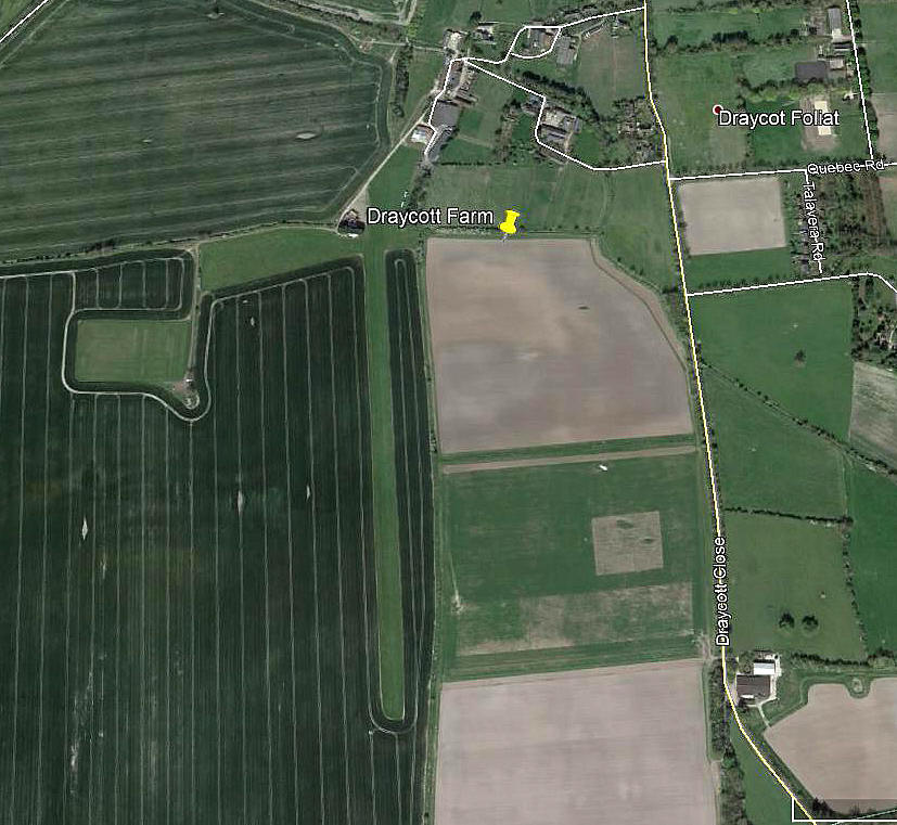
Draycot Farm


DRAYCOT FARM: Private airfield   (Also known simply as DRAYCOT)

Aerial view
Aerial view

Note: This picture (2017) was obtained from Google Earth ©


Operated by: 1980(?) to -: Draycot Flight Centre


Location: 5nm SSE of Swindon, 2nm ESE of WROUGHTON
 

Runways: 1990: 18/36   535x30   grass          08/26   350   grass

2000: 18/36   535x30   grass        (Did 08/26 actually disappear for a while?)

2001: 18/36   600x30   grass           08/26   350   grass

2017:  18/36   730x30   grass


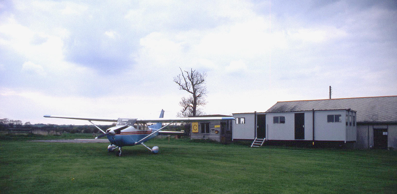
Our Wycombe Air Centre Cessna 172 G-WACL on a first visit in May 1996

NOTES: I well remember landing here many years ago. The N/S runway was downhill when approaching from the south. The runway undulations were/are so extreme I expect you’d nearly disappear from sight at times when taking off or landing. Good fun.


We'd love to hear from you, so please scroll down to leave a comment!


Leave a comment ...


Name
 
Email:
 
Message:


Copyright (c) UK Airfield Guide


slide up button