East Hewish
EAST HEWISH: Microlight flying site (Aka THE ELMS FARM)
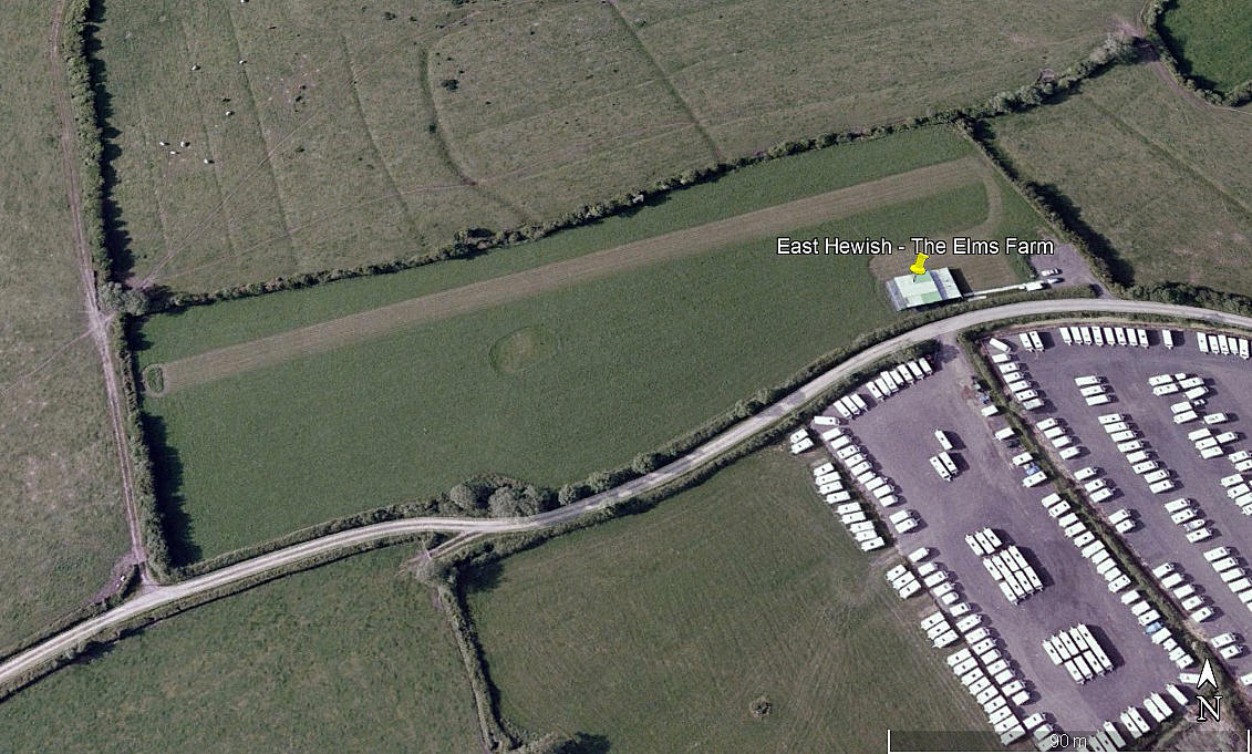
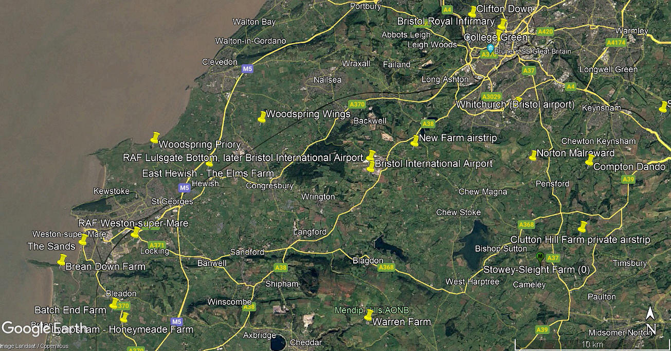
Note: The 2005 picture was obtained from Google Earth ©. The local area view is from my Google Earth © derived database.
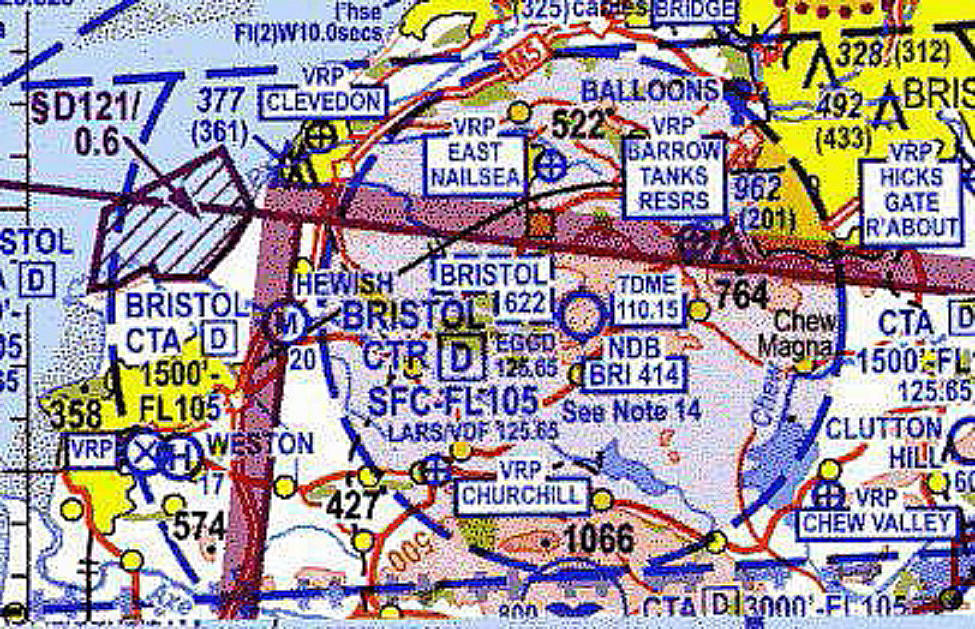
Location: Just E of the M5, 5nm NE of Weston-super-Mare town centre and roughly 6nm W of BRISTOL INTERNATIONAL AIRPORT. Just outside of their CTR.
Period of operation: At least from 2005 to 2008
Runway: 07/25 260 grass
NOTE: If anybody could be kind enough to add extra information for this 'Guide' it will be most welcome.
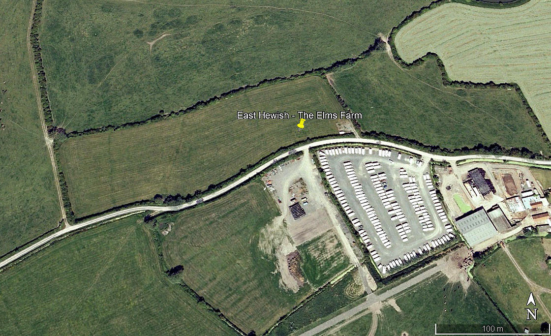
This picture was also obtained from Google Earth ©. It is often a problem for pilots using even the very latest charts for navigation as they can never be bang up to date. Things can, and often do, change very quickly as this example clearly shows. Apparently still there in 2008, by 2009, (if the Google Earth © dating system can be relied upon? Which it can't), no sign of it. Even so, it does serve to make the point.
In my experience the CAA charts are amongst the best. Indeed, I would argue they are indeed the best, and I have used a lot of charts from various countries over many years. Without any doubt whatsoever, the Jepperson charts are the worst, but, often the only ones available to pilots of light aircraft. I have found several examples of major navigation features missing from their charts. Perhaps the best, (or should I say worst?), example, being when flying back to the UK from Antwerp via Ostende back in 2008.
Navigation for me in Belgium was never a problem, I know the country very well. Visibility that day was gin clear and at one point, asked if I was comfortable with our position, I replied, "Absolutely, there is the Lokkeren truck stop in our nine o'clock." But, the Ghent ship canal was not marked on our chart! Akin to ommiting the River Thames on a UK chart of south east England.
The problem for private pilots being that, if using a current chart as the primary navigation aid, which I think is still the recommended method considering how fickle GPS/Sat Nav is, should a pilot become confused and inadvertently enter controlled airspace whilst trying to sort the problem out, he or she will be held to account, and the consequences can be really quite severe.
We'd love to hear from you, so please scroll down to leave a comment!
Leave a comment ...
Copyright (c) UK Airfield Guide


