


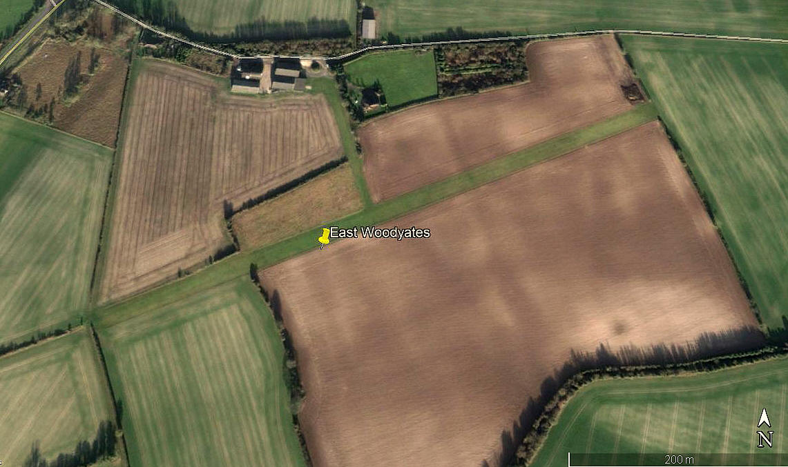
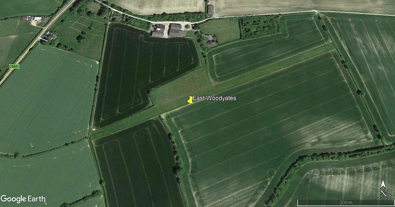
East Woodyates
EAST WOODYATES: Private airstrip (Aka BOKERLEY FARM)

Aerial view 2002
Aerial view 2012
Aerial view 2018
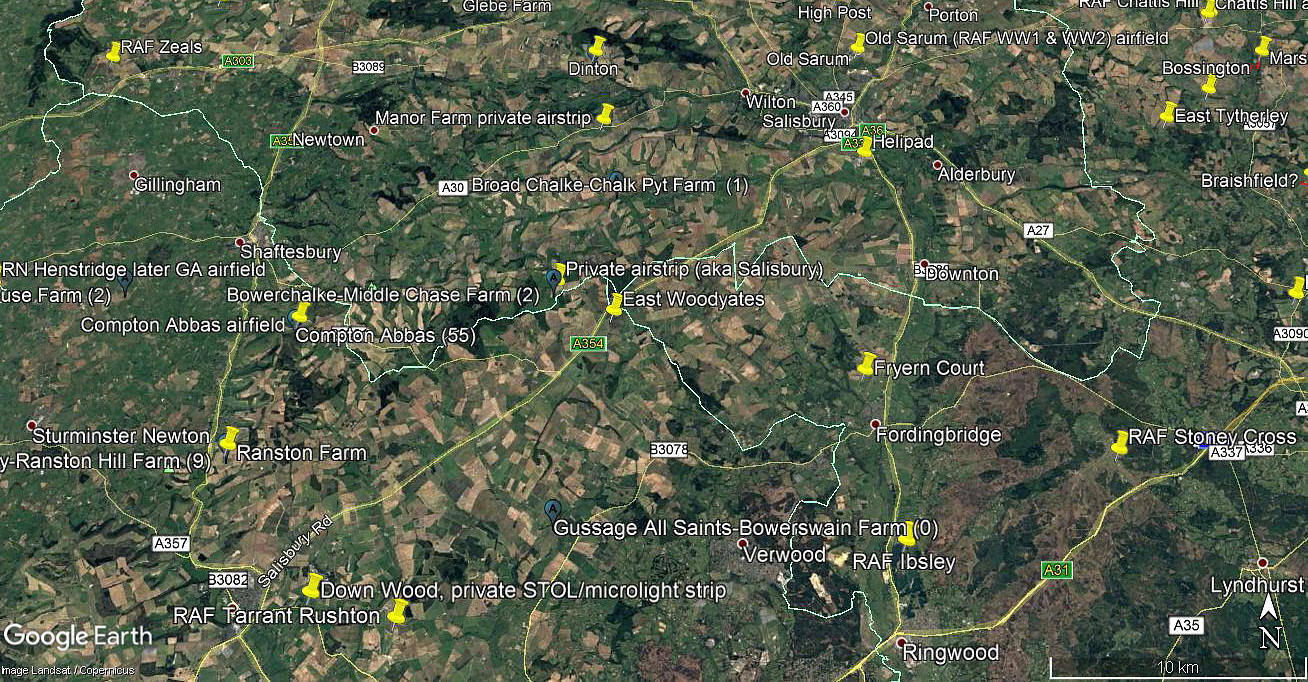
Area view
Note: All four of these pictures were obtained from Google Earth ©
Location: Just E of the A354, just SE of East Woodyates village, about 9.5nm SW of Salisbury city centre
Period of operation: 1990s (?) to -
Runway: 07/25 640 grass
NOTES: I have elected, on balance, to place this airstrip in DORSET. However, it all depends to some extent to which map you prefer which gives the County boundaries. The problem being that this location is on the point where the boundaries of Dorset, Hampshire and Wiltshire meet.
If anybody can kindly offer advice regarding this airstrip history, this will be most welcome.
We'd love to hear from you, so please scroll down to leave a comment!
Leave a comment ...
Copyright (c) UK Airfield Guide

