Ely flying sites
Note: This map only shows the position of Ely town within the UK.
ELY see also CAPTAIN WILSON’S FIELD
ELY see also LITTLE DOWNHAM
ELY see also WITCHFORD
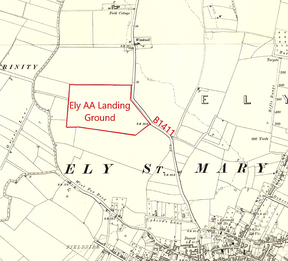
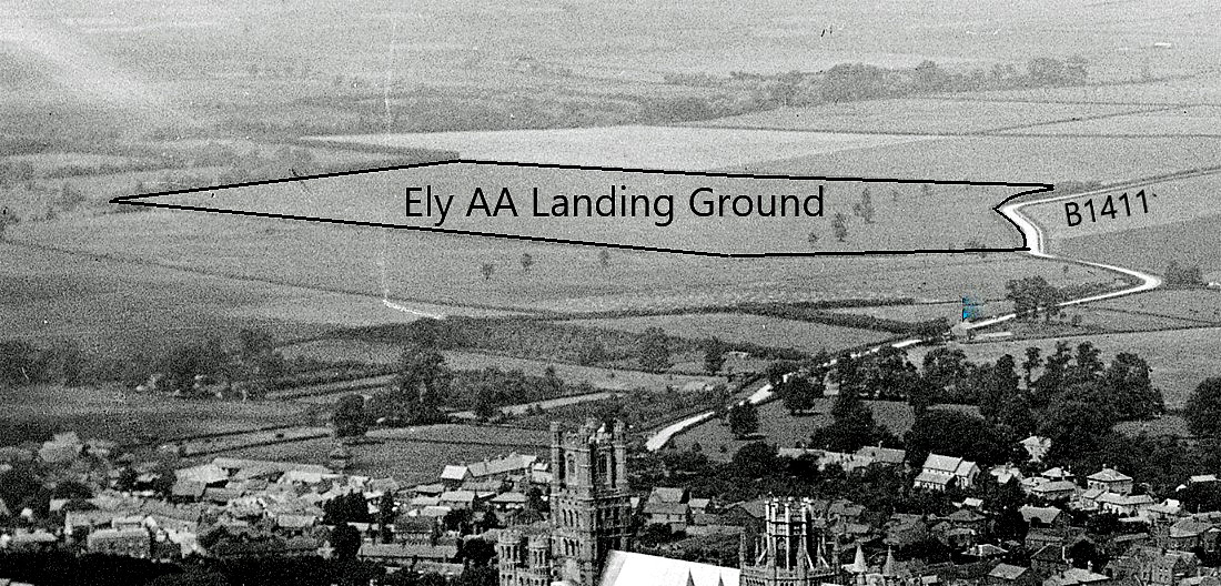
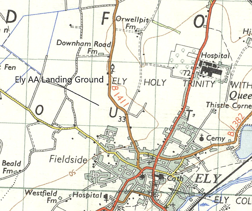
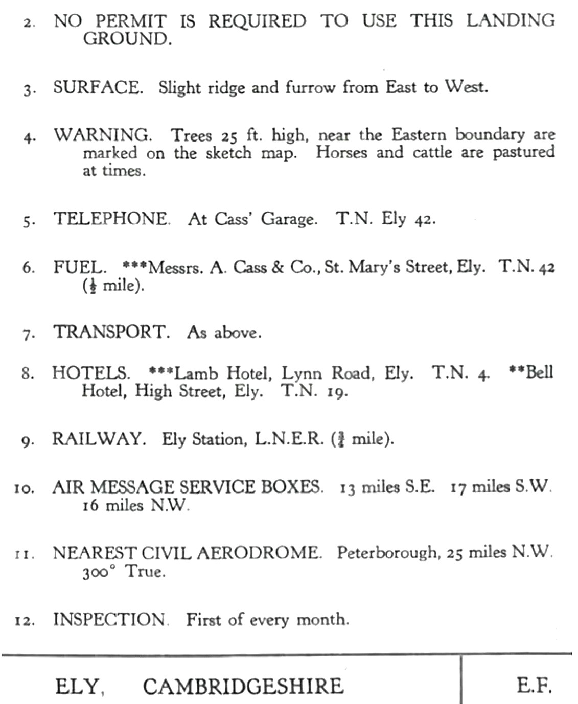
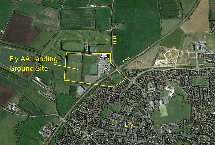
ELY: Civil Landing Ground
Operated by: Mr H R Dimock
Location: Just NW of Ely town centre
Period of operation: 1930s only?
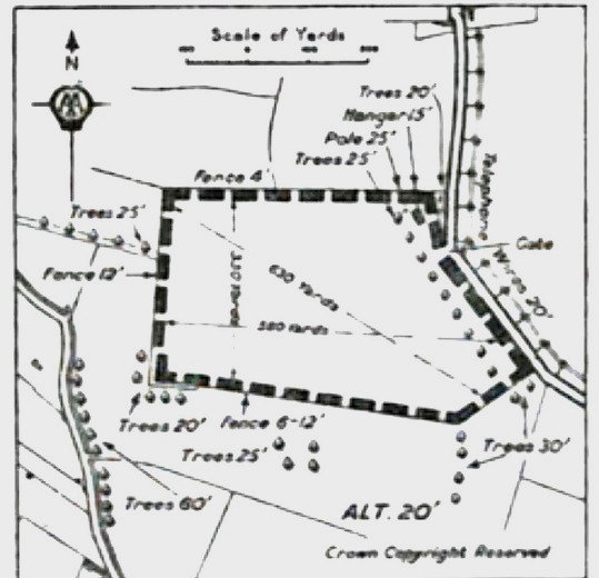
Runway: Max landing run: 576 grass (1933 apparently 384 grass)
NOTES: Info source ‘AA Landing Grounds’ publication, 1930s. This Landing Ground was one of the many AA (Automobile Association) approved Landing Grounds and had one hangar although it is not clear if space was available to visitors. Fuel, transport (typically a taxi service) and a telephone could be, (in 1933 at least) obtained from A Cass & Co Ltd, St Mary’s Street, Ely.
So, it would appear that unless arrangements had been made before taking-off, a fairly decent schlep into town was probably required. Then again it would not surprise me to learn that, on hearing an aeroplane some enterprising lad would appear offering to run an errand, by foot, bicycle or horse, for say – a tanner?
A MICHAEL T HOLDER GALLERY
Mike Holder, a great friend of this 'Guide', has kindly provided the following:
ELY: Private airstrip
Operated by: Mr Alan Gray possibly?
Location: Near Ely (on the old RAF WITCHFORD site it seems)
Period of operation: Hmmm…1980s to – (?)
Runways: 03/21 420x24 grass 10/28 500x12 hard
NOTES: It appears that the Auster J2 Arrow G-BEAH was based here for many years and possibly still is?
We'd love to hear from you, so please scroll down to leave a comment!
Leave a comment ...
Copyright (c) UK Airfield Guide


