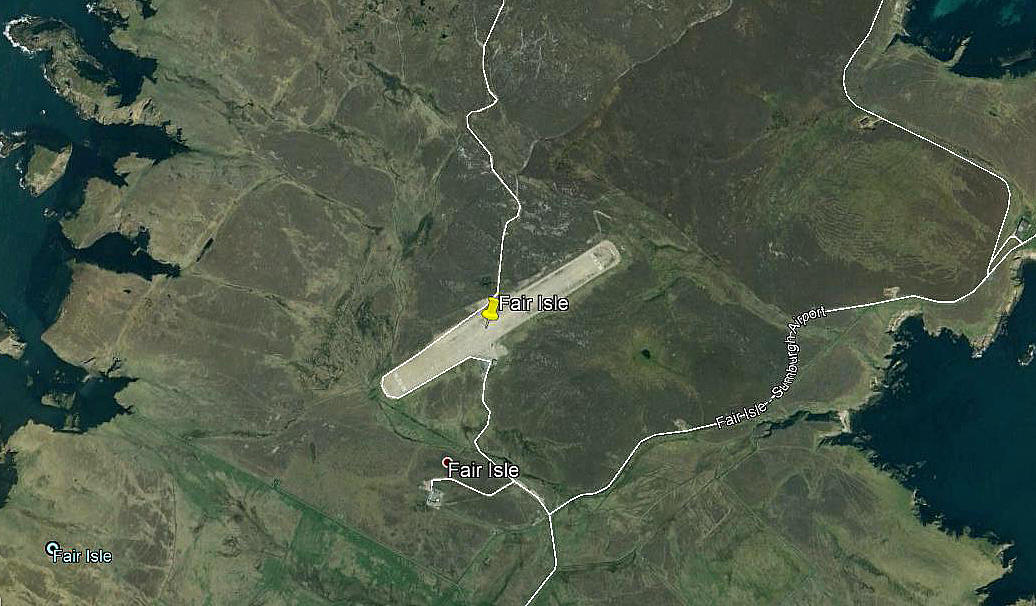
Fair Isle flying sites
FAIR ISLE: Temporary landing site
NOTES: I can thoroughly recommend reading the account in Iain Hutchinsons book Air Ambulance concerning the first attempts to land here, (page 25), to perform air ambulance flights. The first attempt being by Capt Freeson in the DH Dragon G-ACIT in early to mid 1937. Today we hear about ‘bush flying’ but before WW2 those early pioneers in Scotland were real trail-blazers, plus, often flying in atrocious weather
FAIR ISLE: Private airfield
Note: This picture was obtained from Google Earth ©
Operated by: 1980s/2000s: The National Trust for Scotland
Location: In the centre of the island
Period of operation: 1980s to early 2000s only? Possibly still operational today?
Note: This map is provided with the kind permission of Pooleys Flight Equipment Ltd. Copyright Robert Pooley 2014.
Runway: 1990: 06/24 455x20 graded gravel
2000: 06/24 486x22 graded gravel
NOTES: The location on 'Google Maps' is hopefully the correct location for the airfield, post WW2. The problem I have is that the surrounding roads appear to be named "Fair Isle - Sumburgh Airport" which obviously makes no sense at all. Can this be explained?
We'd love to hear from you, so please scroll down to leave a comment!
Leave a comment ...
Copyright (c) UK Airfield Guide


