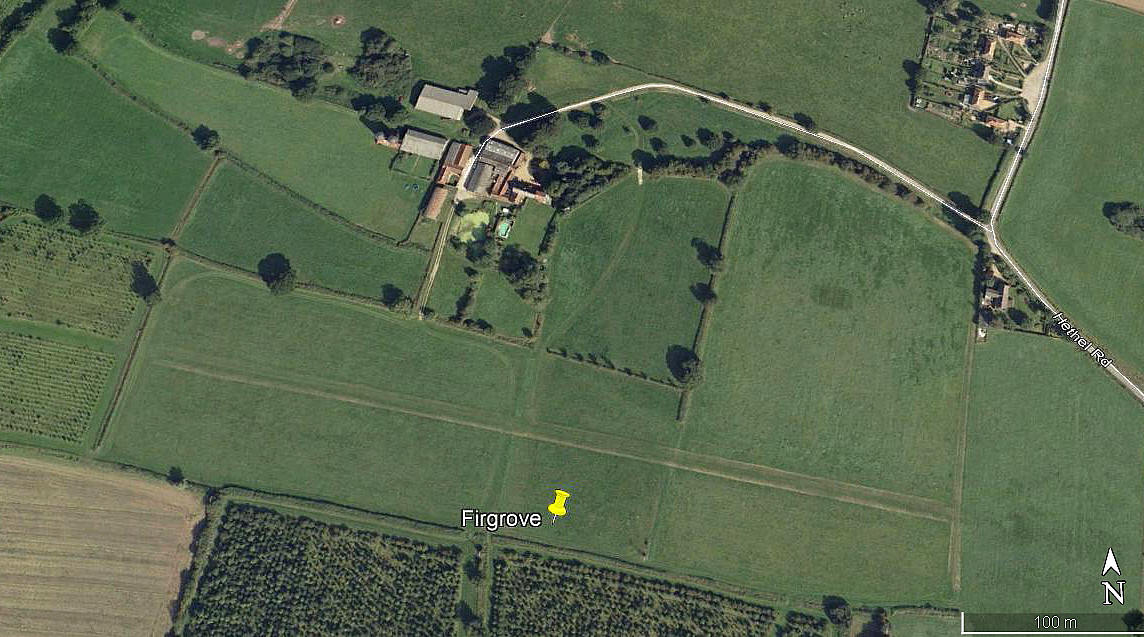
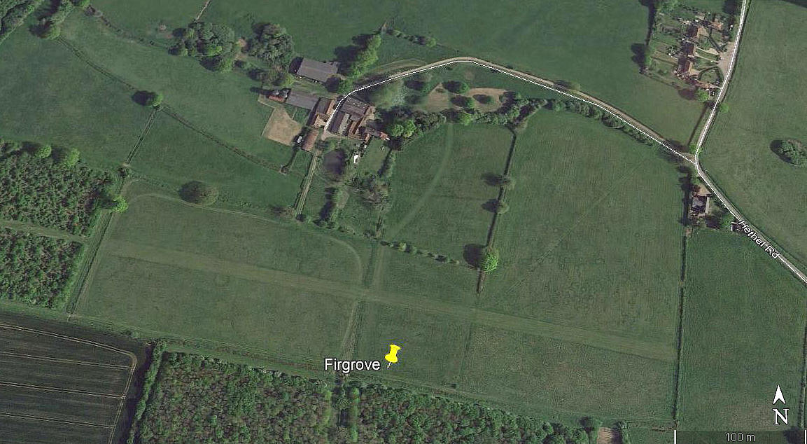
Firgrove
FIRGROVE: Private airstrip
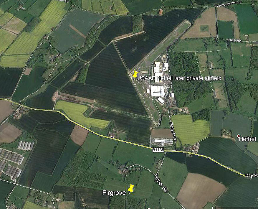
Note: All these pictures were obtained from Google Earth ©
The third picture shows the proximity of the airstrip to HETHEL. A look at another earlier Google Earth picture (1999) appears to show some evidence of an airstrip - or is this just my imagination?
Location: NW of Wreningham, roughly 7nm SE of Wymondham
Period of operation: Early 2000s(?) to -
Runway: 10/28 475 grass
NOTES: The initial info source was the AAIB report EW/G2007/08/15.
A look at Google Earth (image date 2017) shows that the runway is 475 metres long and there are no obvious signs of it ever being extended. The AAIB report however states that the runway is 600 metres long.
I am of course assuming that I have identified the correct strip? I cannot see another near Wreningham but advice will be welcome.
We'd love to hear from you, so please scroll down to leave a comment!
Leave a comment ...
Copyright (c) UK Airfield Guide


