Fish Hill
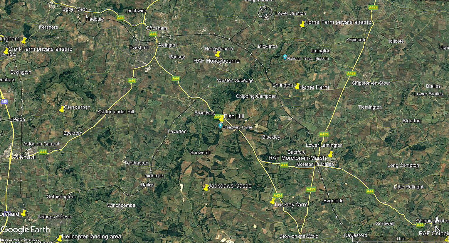
Note: This map only gives a general position within the UK.
FISH HILL: Gliding site
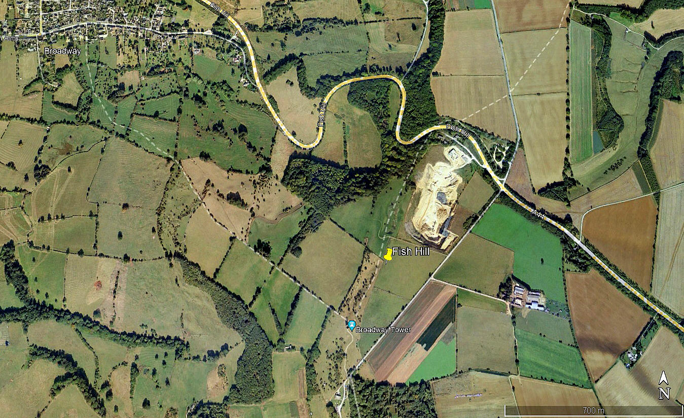
Note: The local view was obtained from Google Earth ©. The area view is from my Google Earth © derived database.
Operated by: North Cotswold Gliding Club
Location: On Fish Hill east of Broadway on the A44
NOTES: Listed as operational in 1930.
The A44 is today, as it passes by Broadway, named Fish Hill. Quite where the North Cotswold Gliding Club flew from seems unknown - or is it? This said, having visited this location several years ago, my impression was that the woods mostly to the north of the A44 had the look of being long established? By the same token the top of the ridge south of the A44, leading to Broadway Tower, also seemed to have remained untouched.
If anybody can kindly provide a more exact location, or indeed confirmation, this advice will be most welcome.
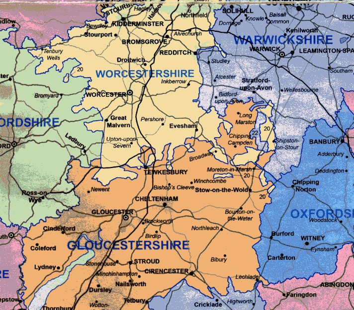
Note: This map is copied from Quadhurst Maps. Entitled: "The true, historic Counties of Great Britain and Northern Ireland". With the note which I thnk is most important; "Our historic counties have never been affected nor the boundaries changed by the endless shifting of local goverment boundaries over the past 100 years but have remained constant and are today as they have been for centuries."
On another tack, it appears that, according to some, that Broadway was once in GLOUCESTERSHIRE. Having done some research on this I am pretty confident this is not correct. However, looking at old maps, (see Note above) , a quite extraordinary situation is revealed whereby, connected by a small 'channel' SE of Broadway, another area of GLOUCESTERSHIRE is revealed, including Chipping Camden and Long Marston for example.
However, as this map clearly shows, Broadway and Fish Hill are definitely in WORCESTERSHIRE.
We'd love to hear from you, so please scroll down to leave a comment!
Leave a comment ...
Copyright (c) UK Airfield Guide


