Forest Farm
FOREST FARM: Civil aerodrome
WARNING: This aerodrome was on, or very near, the west part of the WWI RNAS/RAF aerodrome. (See seperate listing)
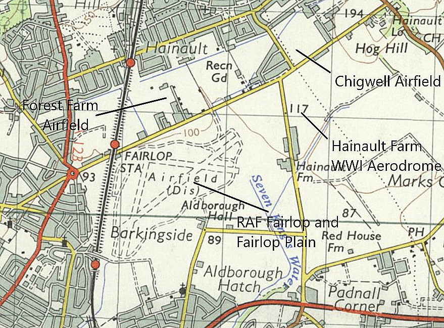
Location: Just N of Forest Road, just NE of Fairlop underground station and about 4nm WNW of Romford town centre
Period of operation: Unknown exactly? From 1919 (?) to 1922 (?)
A MICHAEL T HOLDER GALLERY
We have Mike Holder, a great friend of this 'Guide', to thank for discovering this location and providing the following items.
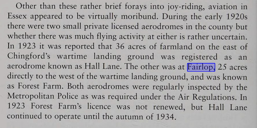
The excerpt is from Essex and its Race for the Skies 1900 to 1939 by Graham Smith.
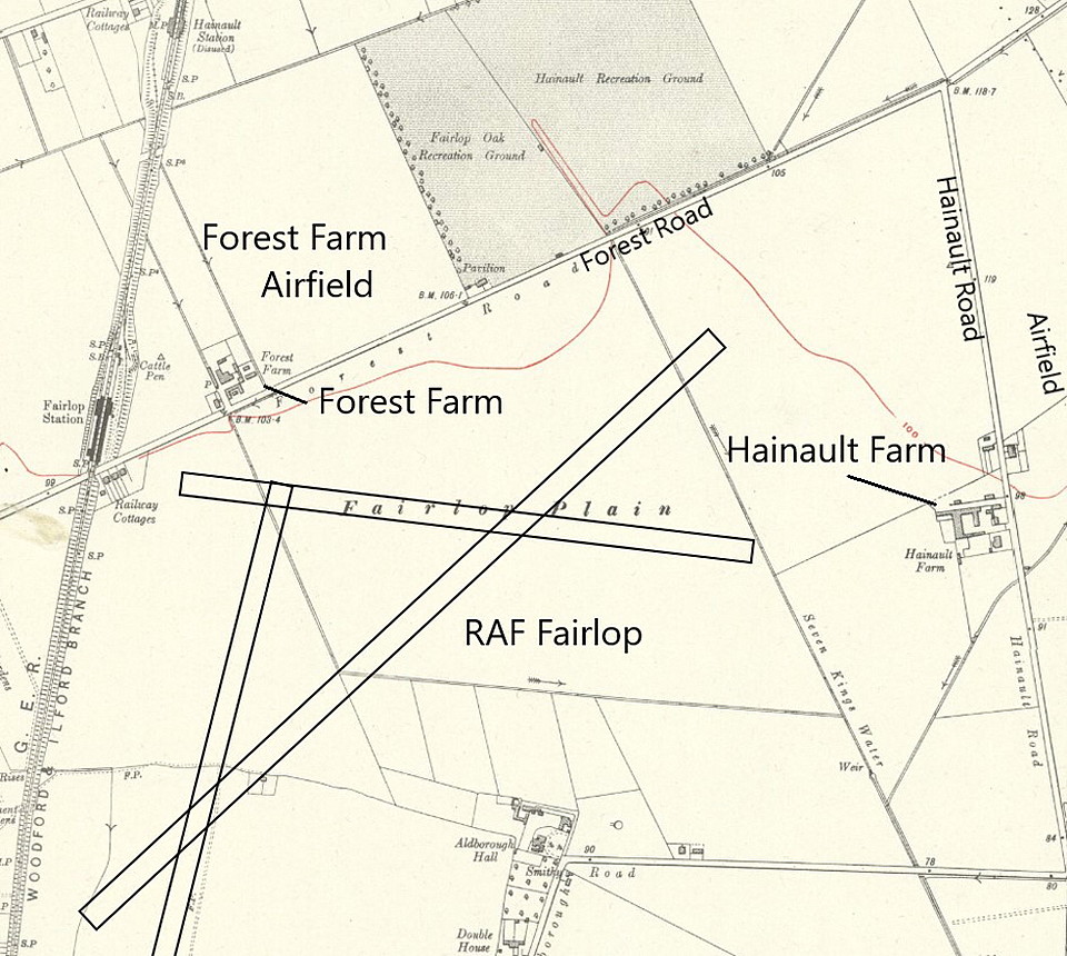
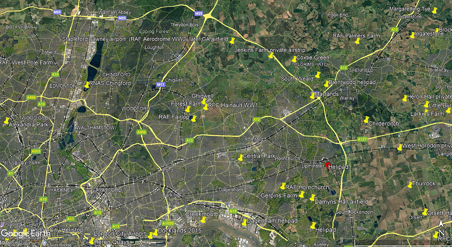
The area view is from my Google Earth © derived database.
A SUMMARY
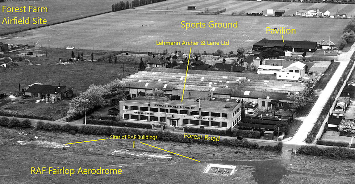
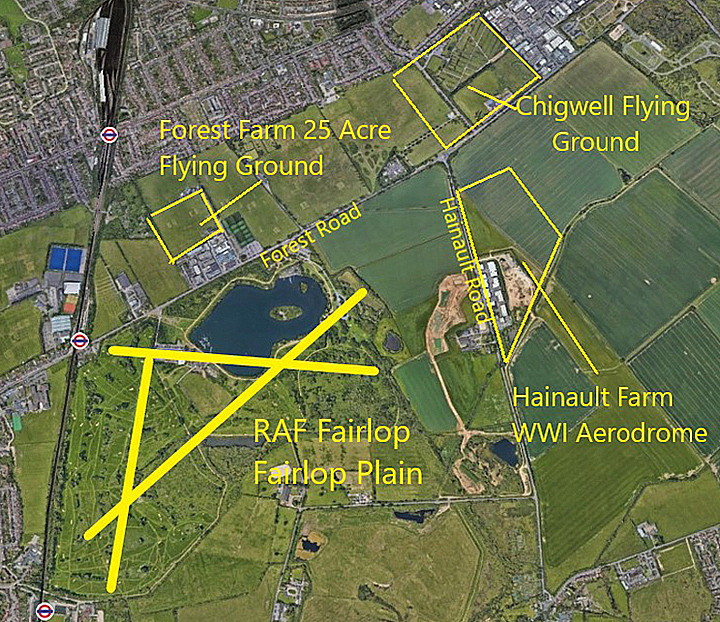
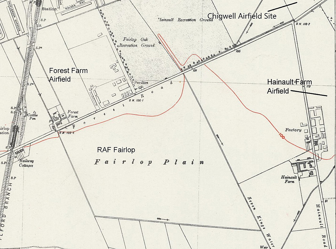
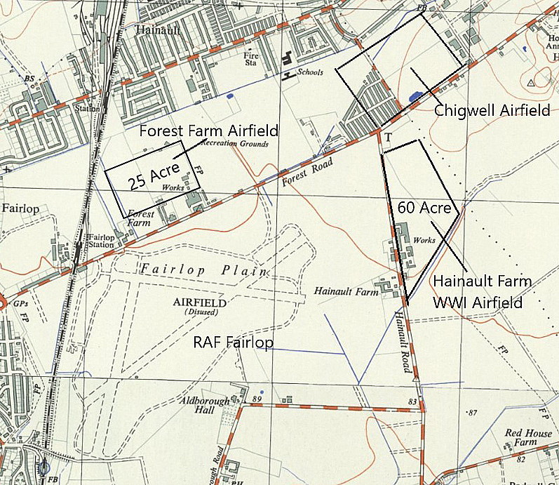
It is remarkable, most unusual and possibly unique (?) to find six seperate aerodromes existing within such a relatively small area, four being just north of Forest Road. The initial location used by Handley Page prior to WW1 later became absorbed within the WW1 military aerodrome, and after WW1 the short lived FOREST FARM civil aerodrome was located at the western end. We do not know if this small 25 acre site encroached into the WW1 FAIRLOP aerodrome? The fourth aerodrome/airport, CHIGWELL, was to the east of the WW1 aerodrome.
South of Forest Road and south of CHIGWELL is the WW1 HAINAULT FARM aerodrome, and later to the west was the much larger WW2 RAF FAIRLOP aerodrome. So far we have failed to find out any details about FOREST FARM, like who operated it and what aircraft used it. If anybody can kindly offer advice and information, this will be much appreciated.
We'd love to hear from you, so please scroll down to leave a comment!
Leave a comment ...
Copyright (c) UK Airfield Guide


