Full Sutton
FULL SUTTON: Military airfield, later GA aerodrome
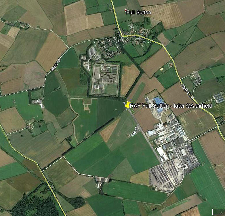
Note: This picture (2017) was obtained from Google Earth ©
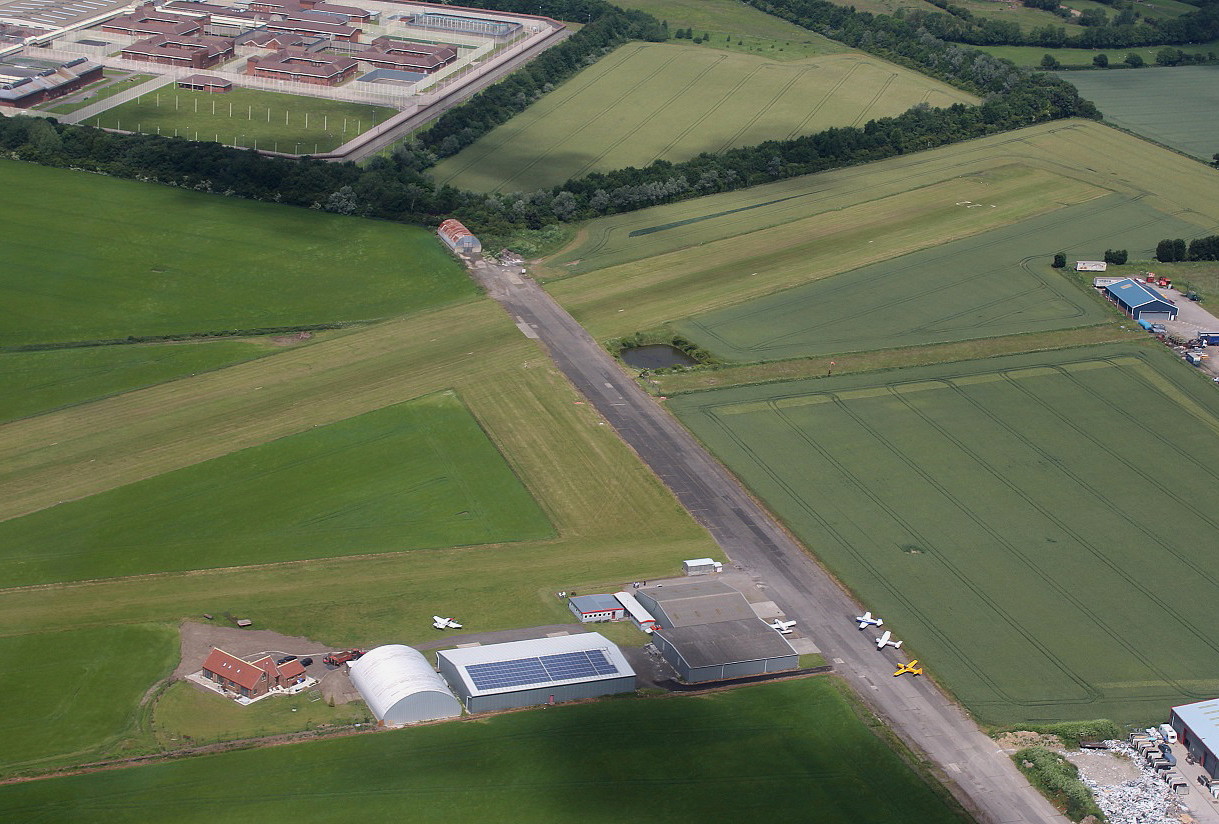
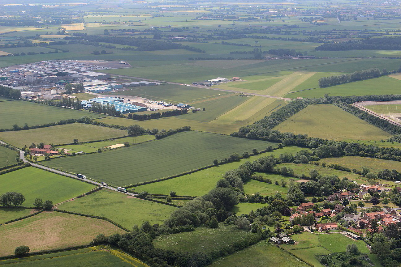
The extent of the WW2 airfield and its runways can still be seen, but only partly. A prison is situated on the NW portion, but, almost nothing except for a narrow and incomplete road seems to indicate the 11/29 runway on the southern side of the airfield.
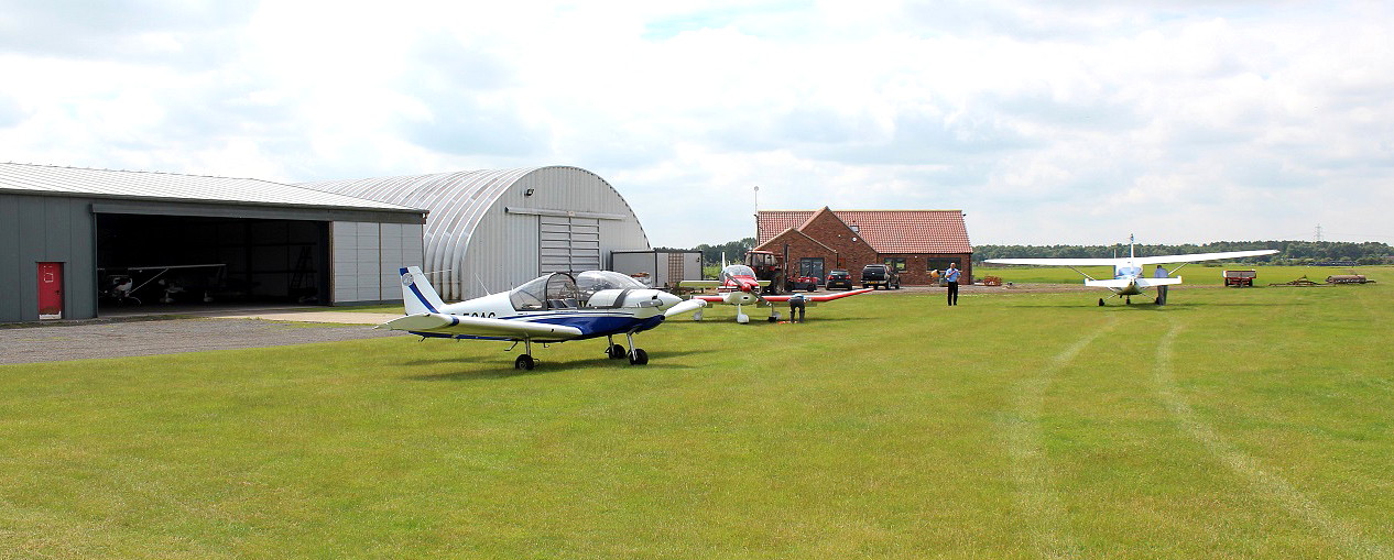
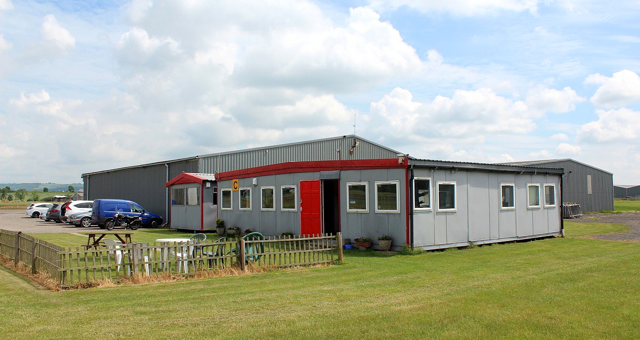
Note: All pictures by the author in June 2015.
Military users: WW2: RAF Bomber Command 4 Group
77 Sqdn (Hanfley Page Halifaxs)
Operated by: Since 1989: Mr S Pocklington t/as Full Sutton Flying Centre
Flying club/school: Aerobaticas, Full Sutton Flying Centre
Civil users: Post 1963: GA private owners and training
Location: S of Full Sutton village & NW of Fangfoss villages, 2nm SSE of Stamford Bridge, and 7nm E of York
Period of operation: Military 1944 to 1963 then later civil to present day
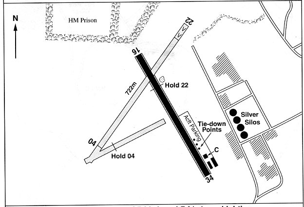
Note: This map is reproduced with the kind permission of Pooleys Flight Equipment Ltd. Copyright Robert Pooley 2014.
Runways: WW2: 16/34 1829x46 hard 04/22 1463x46 hard
11/29 1280x46 hard
1994?: 17/35 1200x30 grass 04/22 722x20 grass
NOTES: In a later flight guide, (in 2000), the grass runway 17/35 is shown, (still used today), but the hard taxiway, (a runway in WW2), 16/34 700x25 could be used as a runway with PPR. I don't think this is normally an option in more recent times.
Without any doubt the airfields in Yorkshire visited over the years are a credit to all concerned - invariably well kept up and a warm welcome assured. This said, this seems to apply to most smaller airfields in the UK - a far cry from the generally much larger, more poe-faced and uptight GA airfields surrounding London which the author, being a Londoner, is more accustomed to.
simon pocklington
This comment was written on: 2019-10-20 04:57:00Where you have operated by 2000: Mr S Pocklington, and later by Full Sutton Flying Centre please correct to since 1989 by Mr S Pocklington, through his company Full Sutton Flying Centre Ltd Also the active grass run=way is 22 / 04 the remaining tarmac ( now a taxi way ) is 34 / 16 and the other runways are long since destroyed / taken up in the 60's Radio frequency is 120.105 and we sell fuel and provide flying lessons
We'd love to hear from you, so please scroll down to leave a comment!
Leave a comment ...
Copyright (c) UK Airfield Guide


