Garrogie Lodge
GARROGIE LODGE: Private airfield
Note: Possibly known by another name locally?
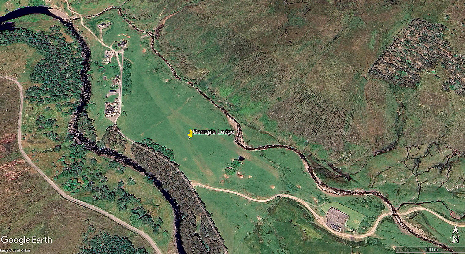
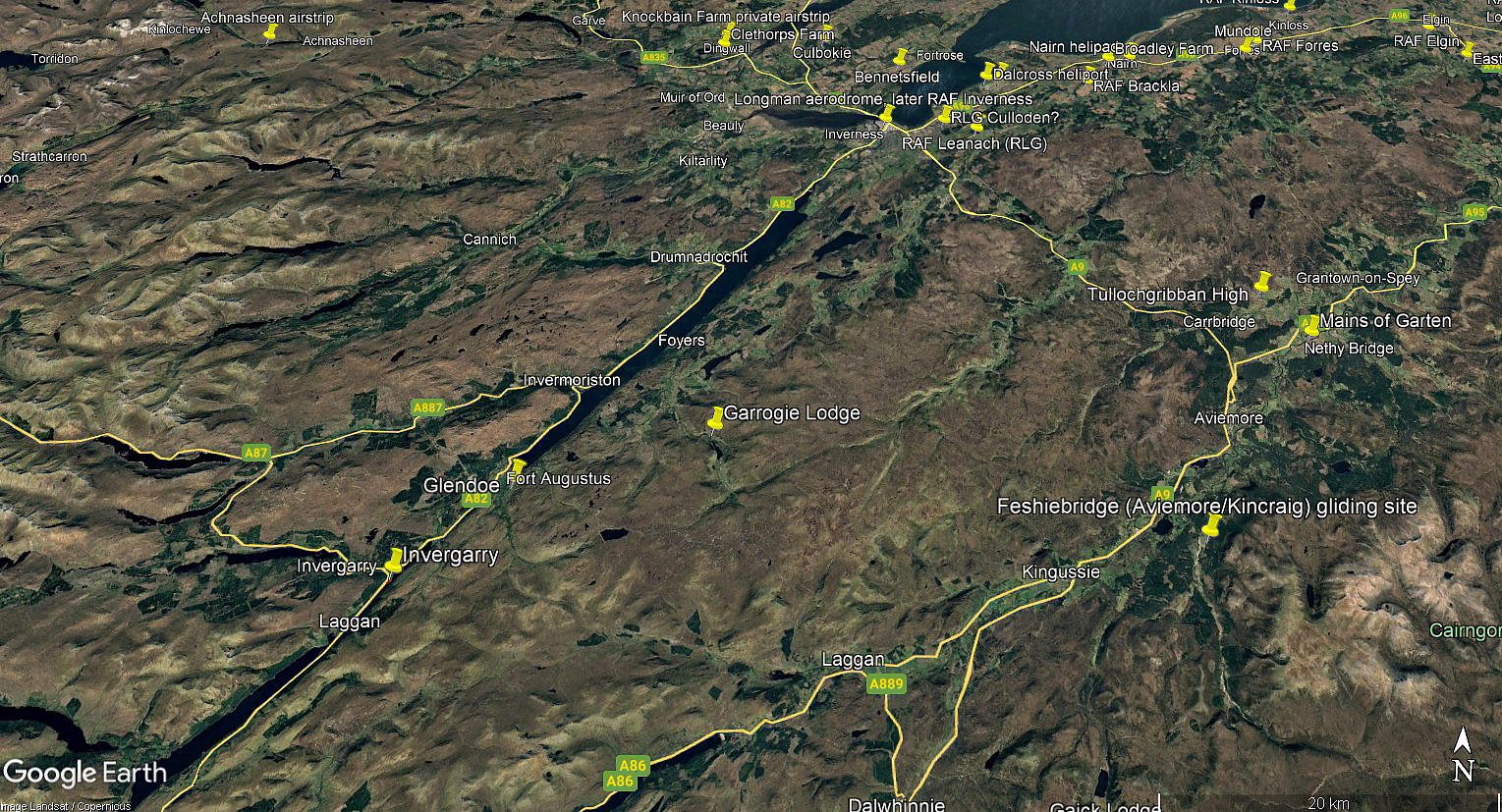
The aerial view in 2024 was obtained from Google Earth ©. The area view is from my Google Earth © derived database.
Location: Just N of the River Fechlin, about 9nm ENE of Fort Augustus town centre, roughly 22nm SSW of Inverness city centre
Period of operation: Unknown? Certainly in 2024
Runways: Approximately: 12/30 260 grass 15/33 300 grass
NOTES: We have Mr Graham Frost, a great friend of this 'Guide', to thank for pointing out this location. He had been following the track of a CubCrafters XCub, N66XC, in September 2024, on that flight tracking gizzmo, when it dropped off the screen. And, lo and behold, when he looked at Google Earth images, this private airfield appeared.
I should probably explain that, in this 'Guide', any similar location such as this, is logged as being an 'airfield' due to it having two runways. A location having one runway is logged as an airstrip.
It is of course possible that, given the capabilities of a CubCrafters XCub, that this location was being used before 2024? And also, possibly (?), it was being hangared in that building seen in the south-east end of the site. Or, of course, was it just visiting?
As so often in producing this 'Guide', more questions asked than answers being provided. If anybody can kindly offer advice, this will be most welcome.
We'd love to hear from you, so please scroll down to leave a comment!
Leave a comment ...
Copyright (c) UK Airfield Guide


