Glen Quoich Estate
GLEN QUOICH ESTATE: Private airfield
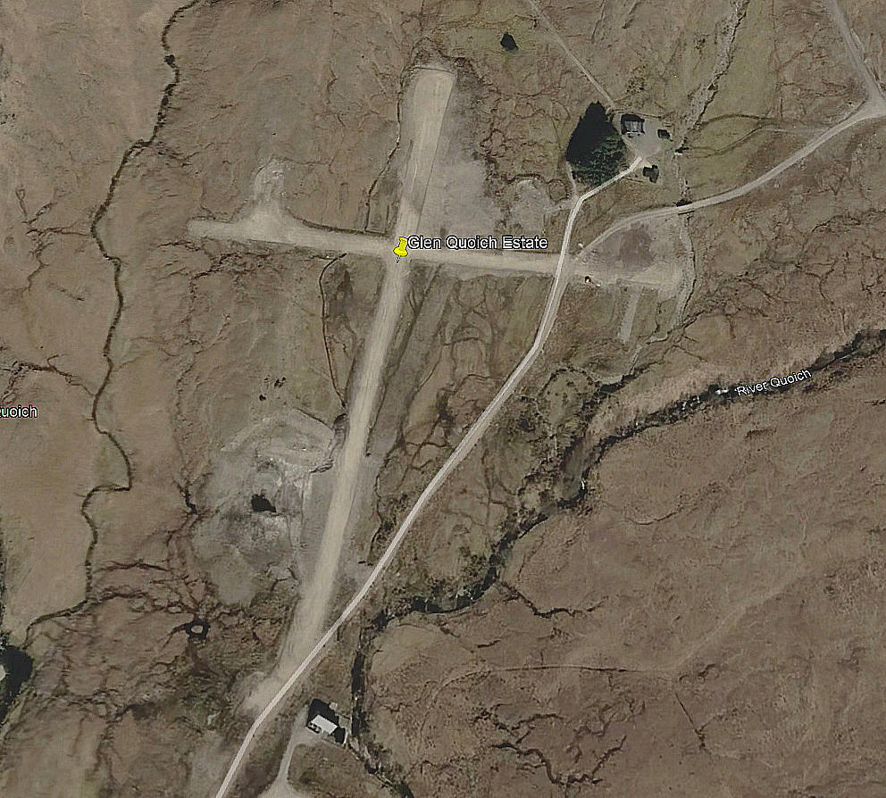
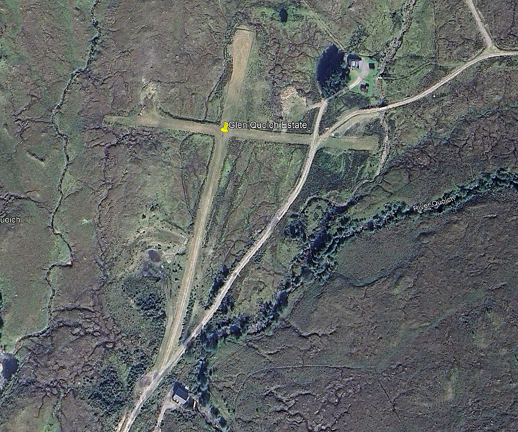
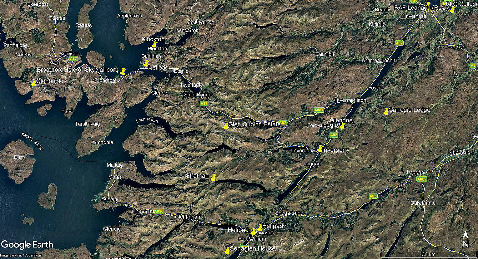
The first two pictures were obtained from Google Earth ©. The area view is from my Google Earth © derived database.
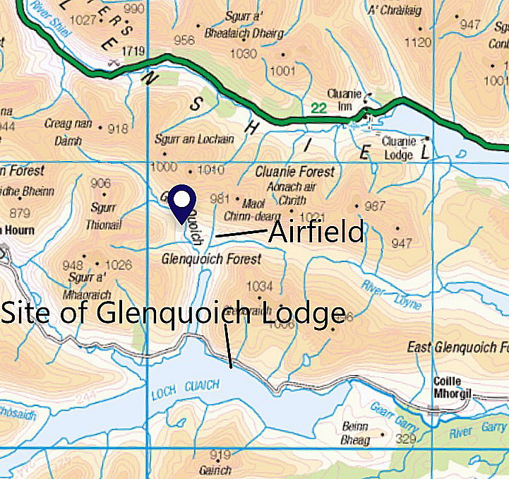
Location: N of Loch Quoich, roughly 21nm W of Fort Augustus and also roughly 21nm NNW of Fort William
Period of operation: Unknown? Certainly from 2020 to -
Runways: 01/19 370 grass 09/27 300 grass
NOTES: We have Mr Karel Adams, a very good friend of this 'Guide', to thank for pointing out this location.
This is just a guess of course, but is it possible that this airfield was being laid out in around 2019/20? I say this because looking at the two pictures above, the 2020 picture appears to show the runways being of (packed?) earth. Typically this situation often arises when a runway is being levelled out in undulating terrain. Whereas, the 2023 picture appears to show the appearance of grass? This being the case I suspect, when this is being allowed to occur naturally rather than grass seed being sown. Could be either/or of course.
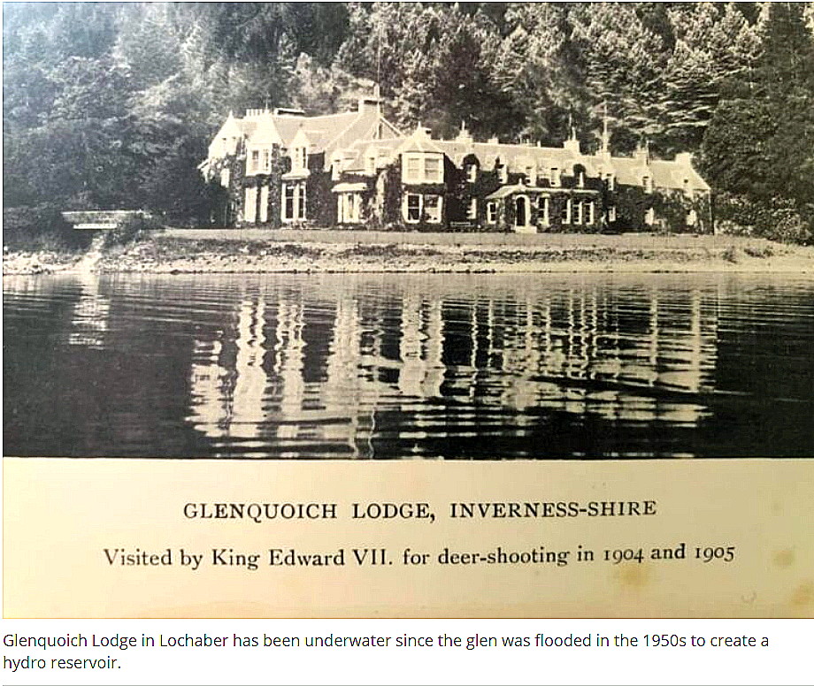
A PICTURE AND THREE MAPS
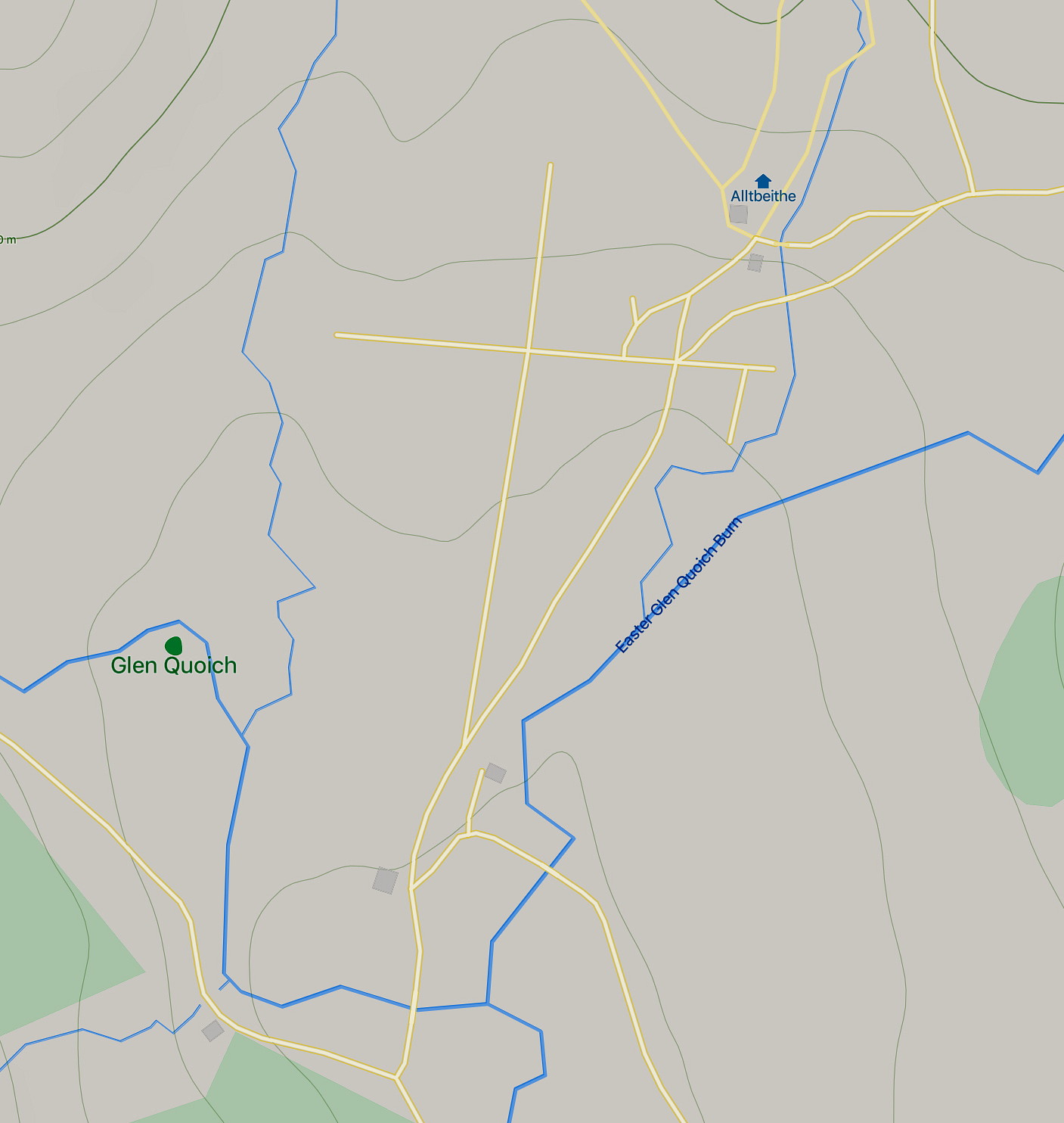
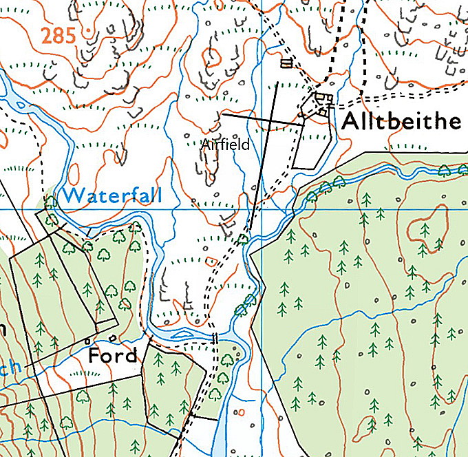
We have Mike Holder, a great friend of this 'Guide', to thank for adding these items.
Notes: Map One is from the Highland Council Mapcarta. Map Two is from an Ordnance Survey area map and Map Three is from an OS local area map.
Mike also has this to tell us: "The estate was originally sold by the MacDonnells in 1838 to Edward 'Bear' Ellice, who built the hunting lodge. The Lodge was "drowned" in the 1950s when the Loch was damned at the eastern end for a hydro-electric scheme. There are also three 'Munro's' in this area."
If anybody can kindly offer extra information and advice regarding the airfield, this will be much appreciated.
We'd love to hear from you, so please scroll down to leave a comment!
Leave a comment ...
Copyright (c) UK Airfield Guide


