Glenormiston
GLENORMISTON: Private airstrip (Also known as INNERLEITHEN)
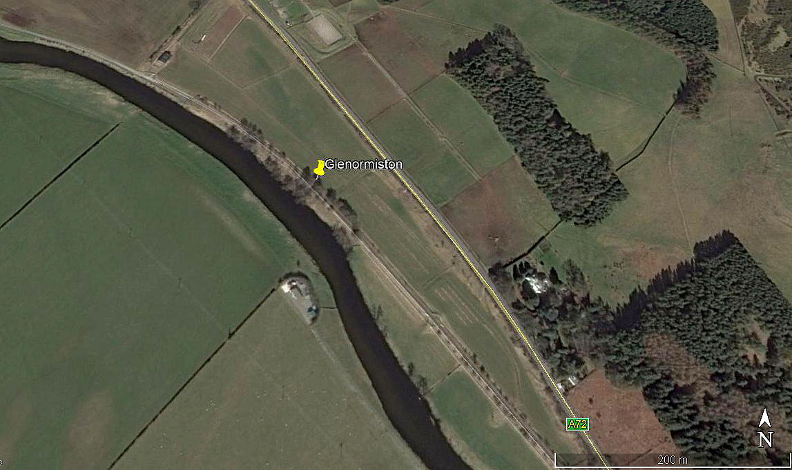
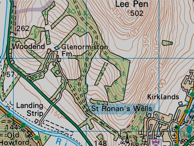
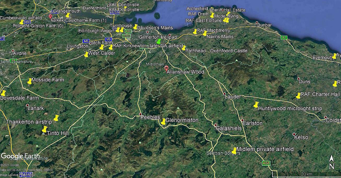
Note: The first and third pictures were obtained from Google Earth ©. The map was provided by Mr Graham Frost.
Operated by: 2000: Mr J G Hogg
2001: Mr G Askew
Location: N of river Tweed, W of the A72, Inm W of Innerleithen, about 4.5 to 5nm ESE of Peebles town centre
Period of operation: 2000 & 2001, also circa 2014 certainly
Runway: 2000: 13/31 515x15 grass
2001: 13/31 (I found a note that it should have been extended during this year to 690x15 grass)
2014: Roughly 13/31 to 14/32 490 grass (Somewhat bent northwards around its mid-point)
NOTES: This is very interesting. Up to March 2021 I had no pictures at all. Then Mr Graham Frost, a great friend of this 'Guide' came to the rescue.
Although I could only find two images on Google Earth, (2007 & 2014), the 2007 image shows no trace of an airstrip. So, presumably, it ceased to be used around this period? There was no sign of a hangar in the 2007 picture. But of course, was the 2000/2001 airstrip in the exact same location?
As always, if anybody can kindly offer advice, this will be much appreciated.
We'd love to hear from you, so please scroll down to leave a comment!
Leave a comment ...
Copyright (c) UK Airfield Guide


