Godstone
GODSTONE: Private airstrip (Aka KINGS WOOD)
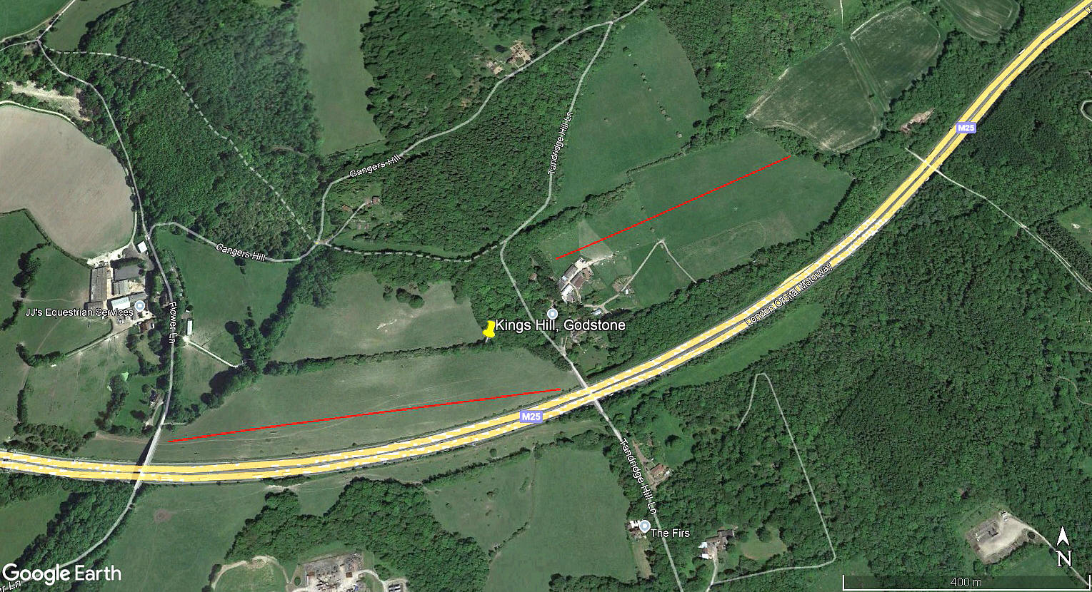
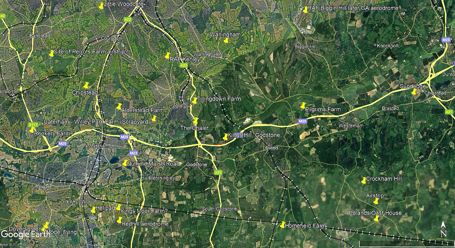
The aerial view was obtained from Google Earth ©, and the local area view is from my Google Earth © derived database.
Location: About 1nm E of the M25/A22 junction 6, roughly 1.5nm NE of Godstone village centre
Period of operation: Unknown? Almost certainly from 1950 to 1958?
NOTES: Up until 2023 I had only the scantest of scantest record of this location listed in this 'Guide', when Mr Graham Frost, a great friend of this 'Guide' discovered that the Auster 5/JI Autocrat, G-AHHS, had been registered to the address: Kings Wood, Tanbridge Hill Lane, Godstone, from 20.11.50 to 19.06.58. We have no idea which field was used so two possible sites are illustrated above.
I have no idea of course about the height of the trees in the 1950s, or indeed if anything major has changed since, but generally having driven through this area from time to time over the last fifty plus years, the tree population looks mature - so quite high by and large. The field to the east of Tanbridge Hill Lane is around 500 metres roughly E/W, (with high trees at both ends), whereas the field to west is around 660 metres, (again roughly E/W), with clearer approaches. Both being available to a reasonably experienced pilot on the Auster Autocrat.
If anybody can kindly offer advice and information, this will be most welcome.
We'd love to hear from you, so please scroll down to leave a comment!
Leave a comment ...
Copyright (c) UK Airfield Guide


