Grafton Underwood
GRAFTON UNDERWOOD: Military aerodrome
Military users: WW2: 8th USAAF 41st Bombardment Wing
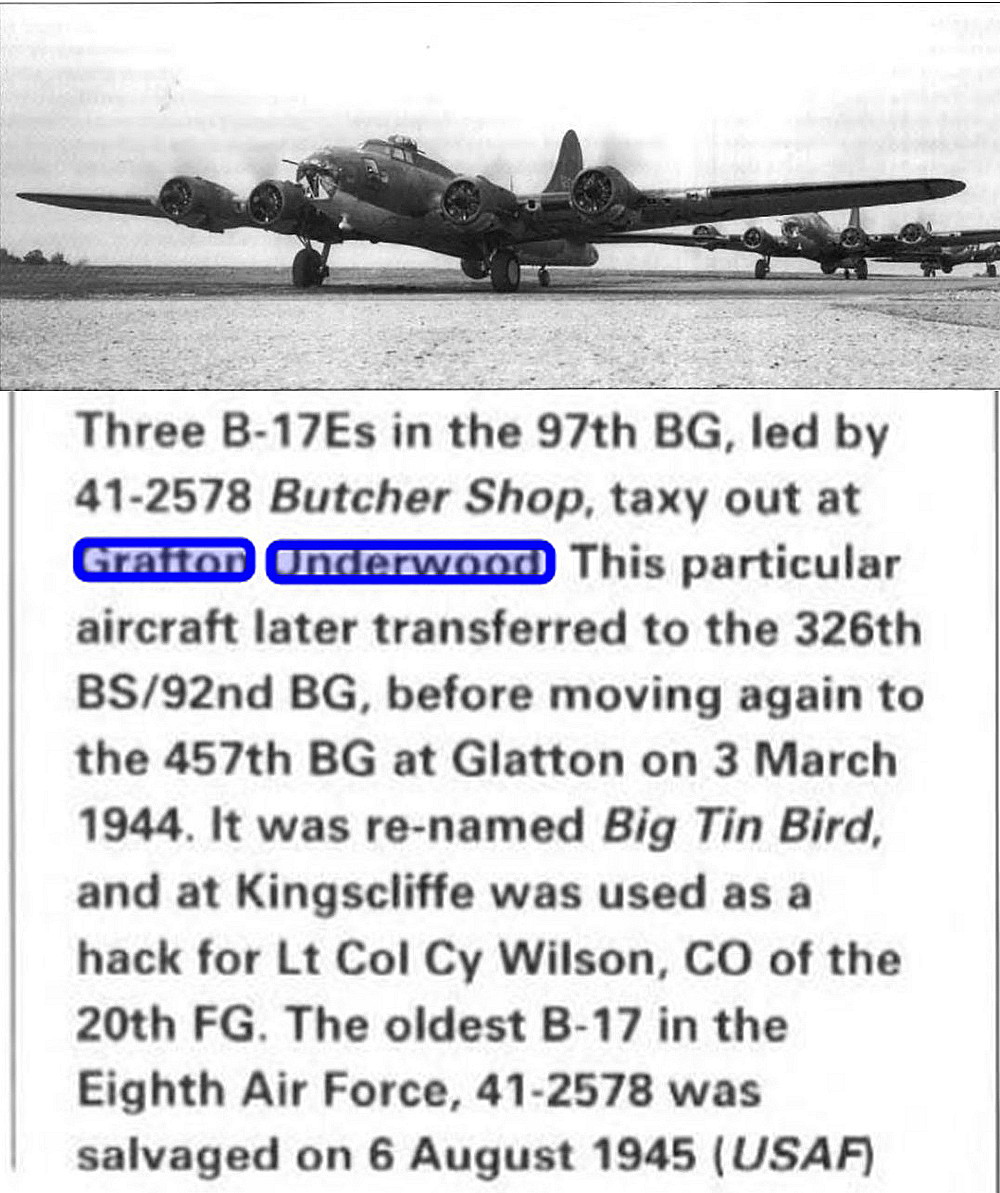
97th and 384th Bomb Group
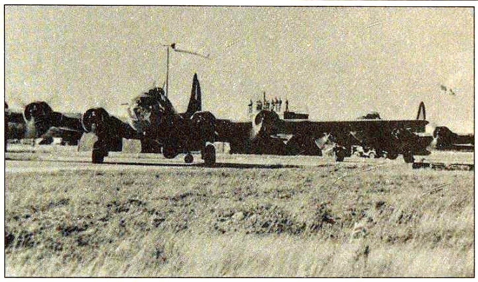
544, 545, 546 & 547 Sqdns (Boeing B.17 Flying Fortress)
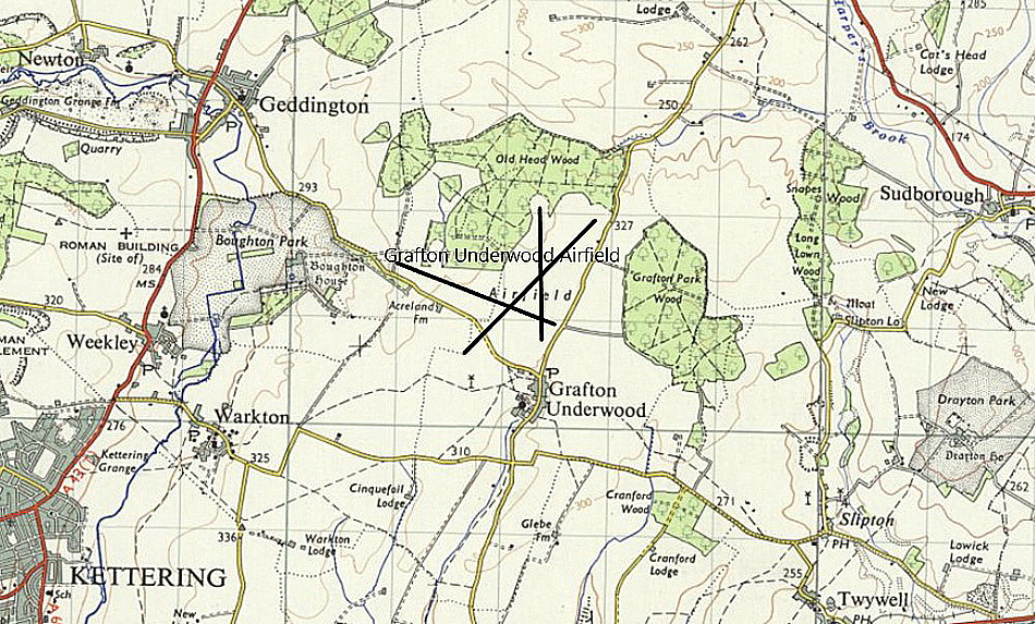
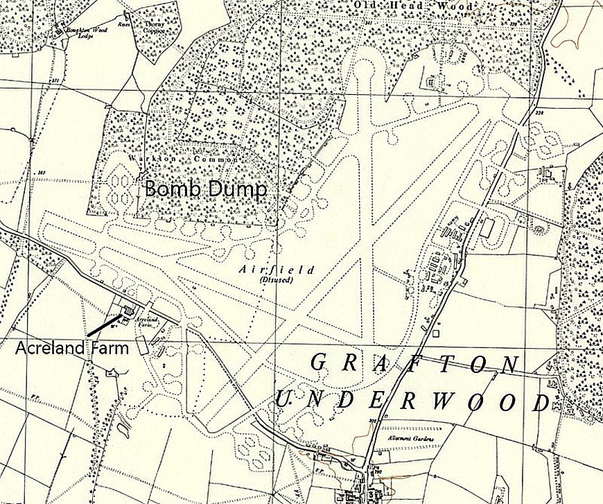
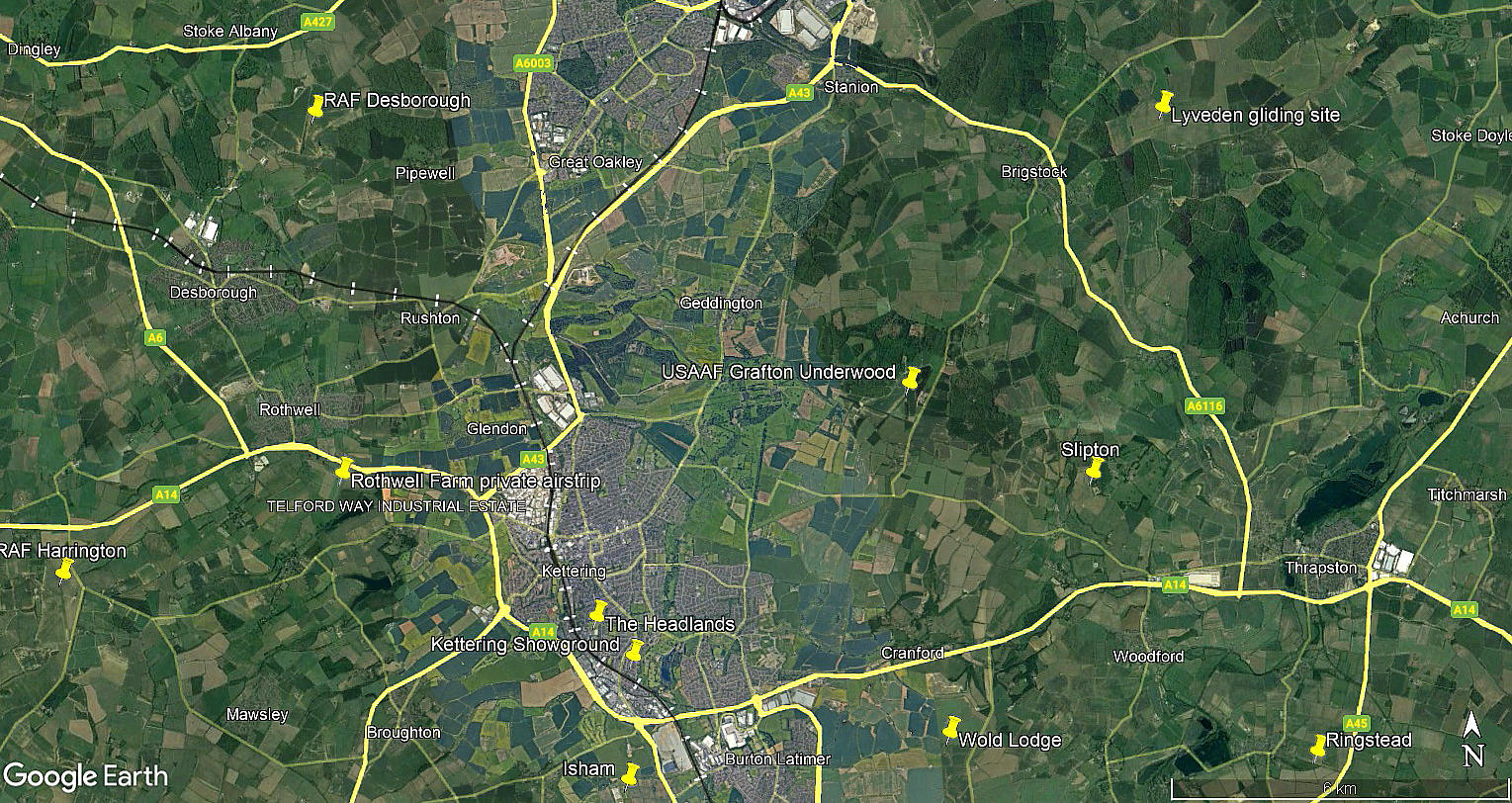
Location: N of Grafton Underwood village, 3.5nm ENE of Kettering
Period of operation: 1942 to 1959
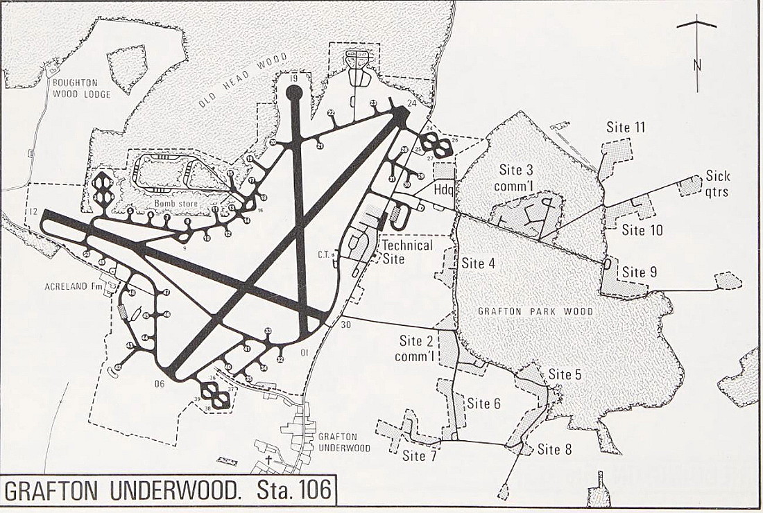
Runways: WW2: 04/22 1829x46 hard 17/35 1280x46 hard
11/29 1280x46 hard
NOTES: In WW2 it seems the runways were surfaced in asphalt with wood chippings. An idea to try and camouflage runways. Needless to say it didn't work, but the result was it is said, that when it rained the surface was tantamount to landing on ice. Yet another idea the boffins got wrong.
But, without any doubt whatsoever, without the boffins the war would have been lost. Many years ago I was flying with a fairly inexcperienced pilot flying north from Essex. Time and time again I was pointing out the location of old WW2 airfields and he was surprised that I could identify them. Once you've got 'your eye in', even today, they mostly stand out. Attempts at camouflage do not work. Hangars especially, let alone runways, stand out in the landscape.
A MICHAEL T HOLDER GALLERY
We have Mike Holder, a great friend of this 'Guide', to thank for providing the following:
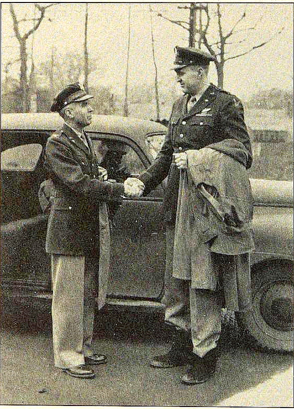
This picture shows the new Commander of the 384th Bomb Group, Dale Smith (right) being greeted by Col. Julius K Lacey, interim Commander.
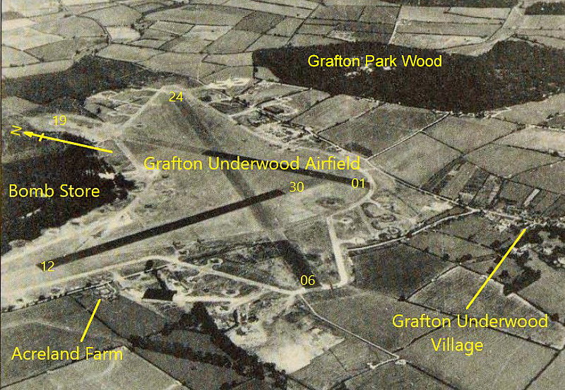
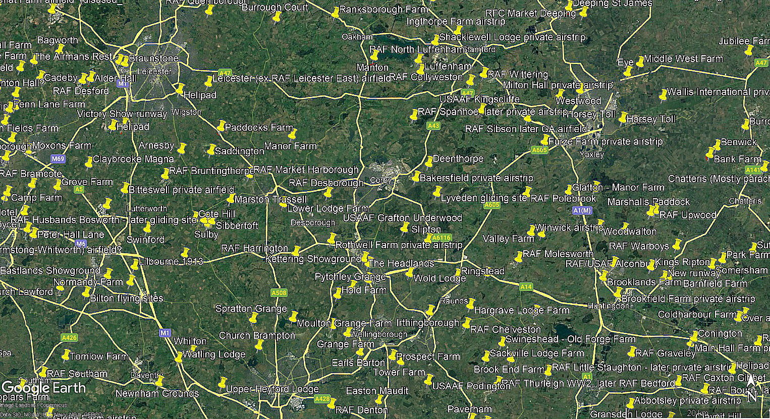
The local area view and area view are both from my Google Earth © derived database.
A MAJOR AIR BASE
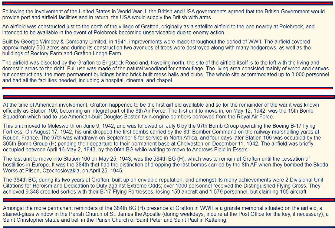
In 1944 GRAFTON UNDERWOOD was a major USAAF station and in late 1944 had 2894 people stationed there. Unlike the RAF it appears that the USAAF in WW2 didn’t employ women at their operational aerodromes.
I have made remarks elsewhere as to how the attrition rate must surely have affected the amount of people figures quite substantially, (let alone the morale?), on a week to week or month by month basis. To support this, here at GRAFTON UNDERWOOD alone, it seems, 1,579 aircrew of the 384th Bomb Group were lost in combat.
Is this the figure for fatalities, or did some survive to become PoWs?
We'd love to hear from you, so please scroll down to leave a comment!
Leave a comment ...
Copyright (c) UK Airfield Guide


