Hardwick
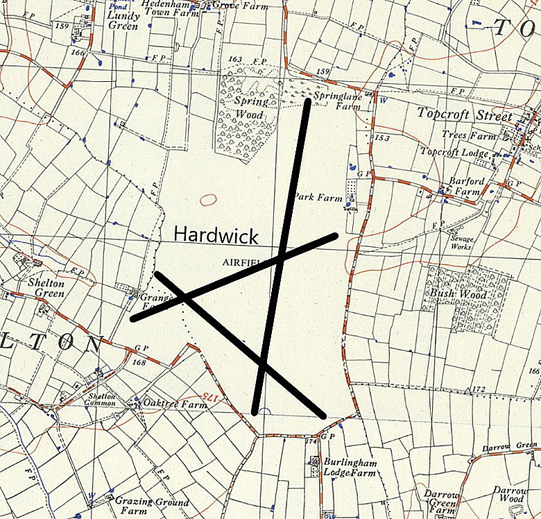
HARDWICK: Military aerodrome later private airfield
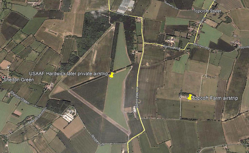
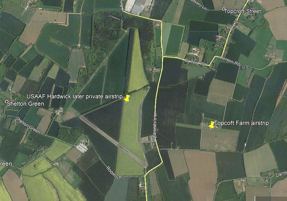
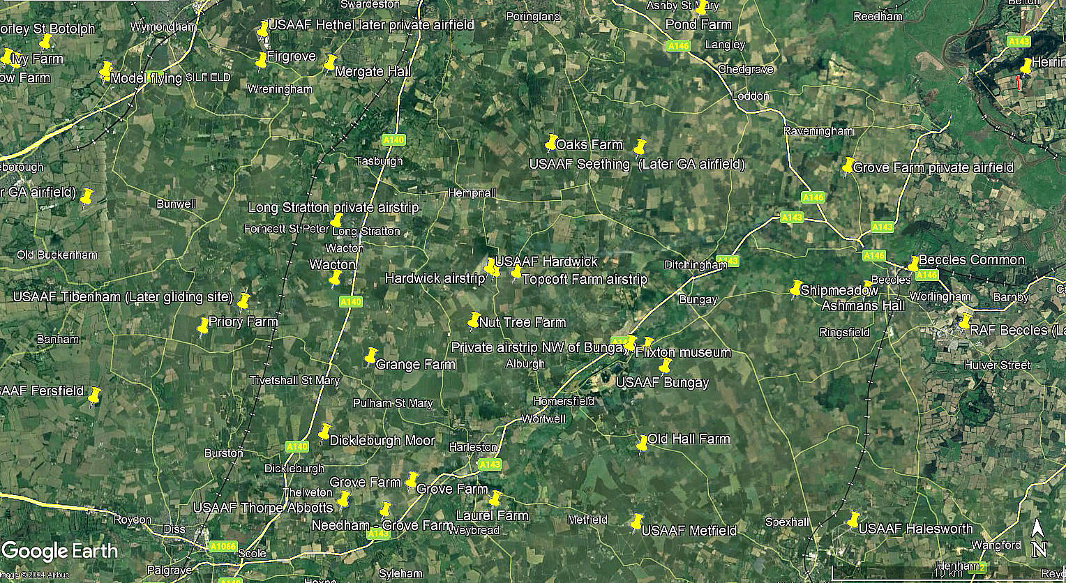
Note: These pictures were obtained from Google Earth ©
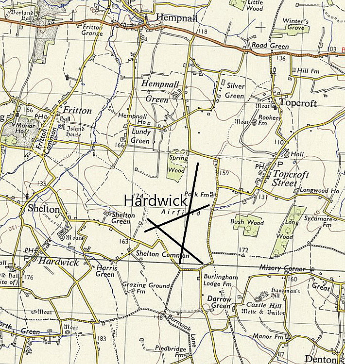
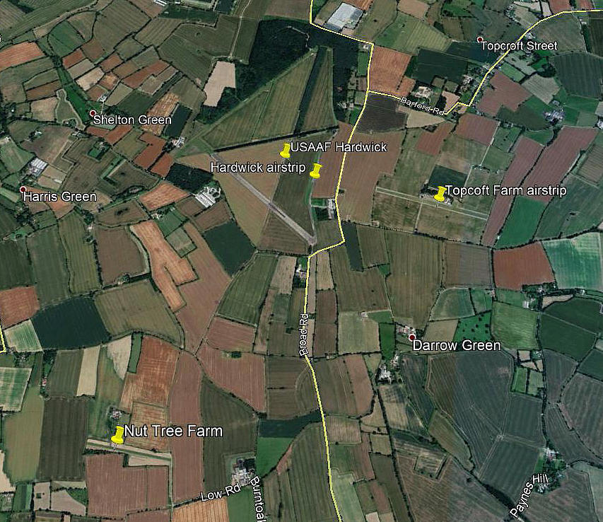
They also show the proximity of TOPCROFT FARM airstrip.
Military users: WW2: 8th USAAF
20th Bombardment Wing 93rd Bomb Group
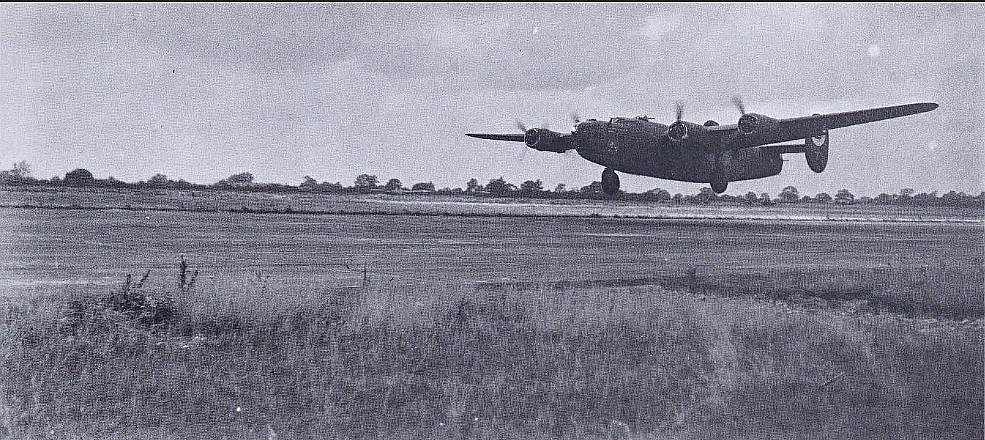
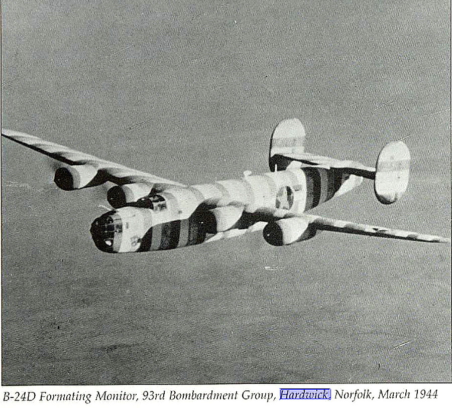
328, 329, 330 & 409 Sqdns (Consolidated B-24 Liberators)
Operated by: 1990: Mr H Watts
2000: North London Aviation Supplies Ltd
2001: Hardwick Classic Aircraft (Using part of hard runway 13/31?)
Note: For some time it seems that Mr Maurice Hammond is or was using a private grass strip on the eastern side of this WW2 airfield, the strip being E/W
Location: Off Barondale Lane, Hardwick, 5nm W of Bungay, 10nm to 12nm S of Norwich
Period of operation: Military 1942 to 1962. Later civil to today?
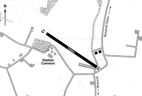
Note: This map is reproduced with the kind permission of Pooleys Flight Equipment Ltd. Copyright Robert Pooley 2014.
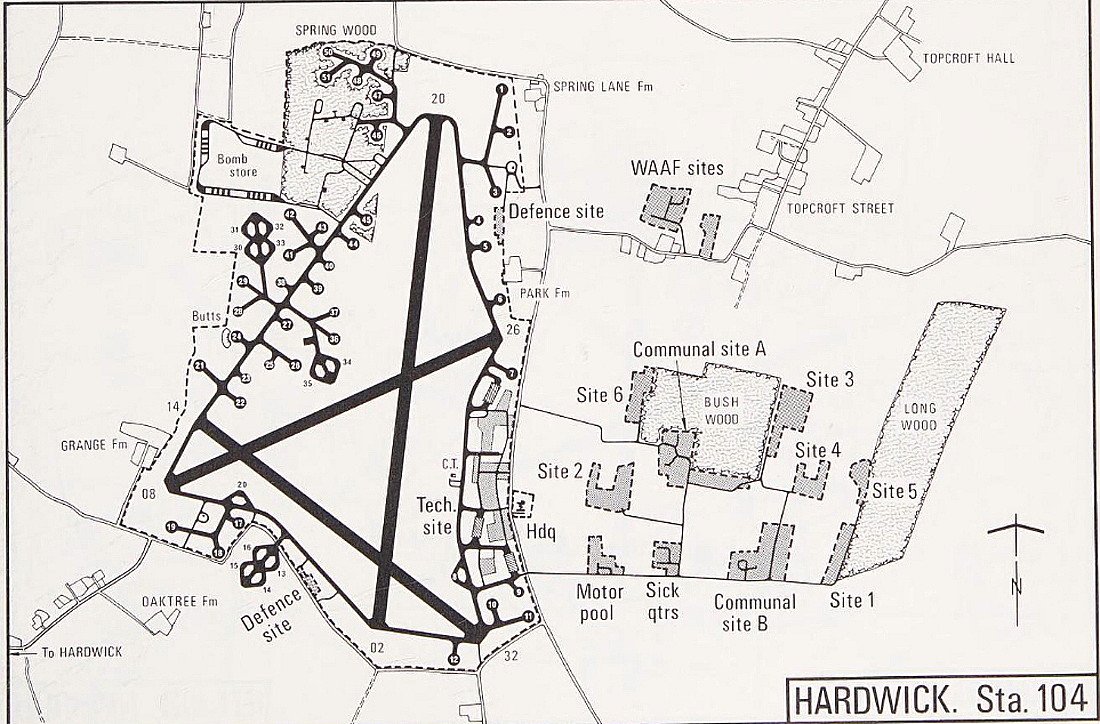
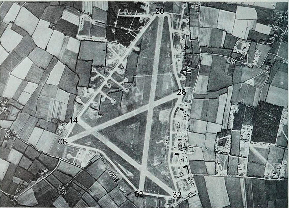
Runways: WW2: 02/20 1829x46 hard 08/26 1280x46 hard
14/32 1280x46 hard
1990: 01/19 700x40 hard 13/31 1300x40 hard
2001: 13/31 1300x20 hard
2007: 17/35 500 grass 13/31 1000 hard
A MICHAEL T HOLDER GALLERY
We have Mike Holder, a great friend of this 'Guide', to thank for reseaching this subject and providing the following maps and pictures etc.
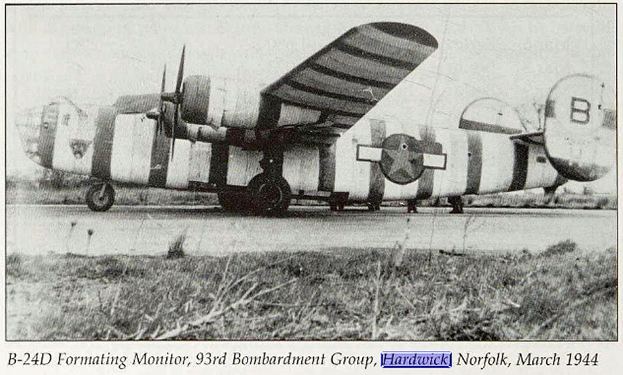
THE B-24s
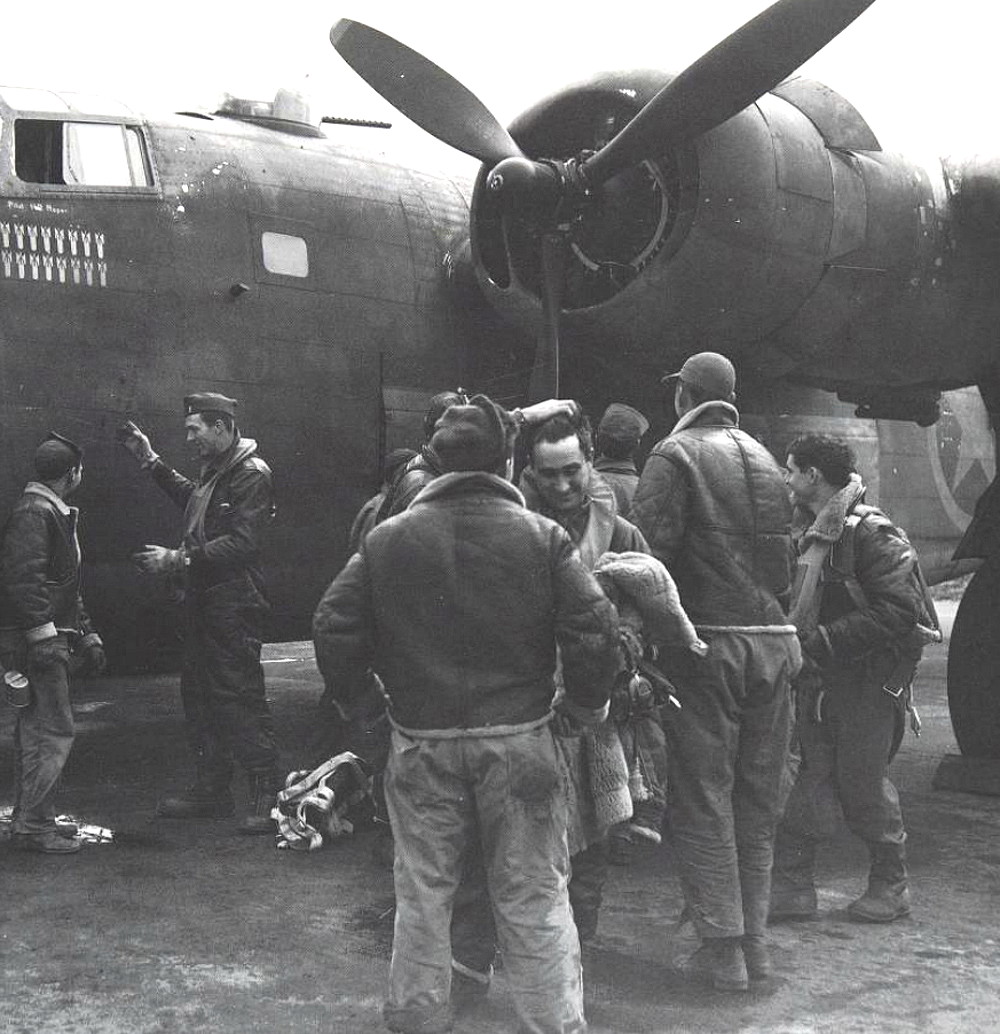
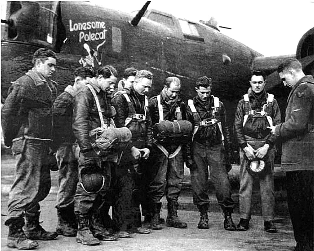
Picture One is from Raiding the Reich by Roger A Freeman. Picture Two and Picture Three are from Consolidated B-24 Liberator, Vol.3, by Edward Shacllady:
VERY MUCH A COMMUNITY
This photo shows the ground crew greeting the aircrew of the B-24 named Exterminator after landing back from a raid into Europe. These airmen were mostly just young men, an ocean away from home, and they found themselves on an air base which was pretty much a township in itself. So, quite naturally they all bonded together at an operational level. Higher ranks probably less so?
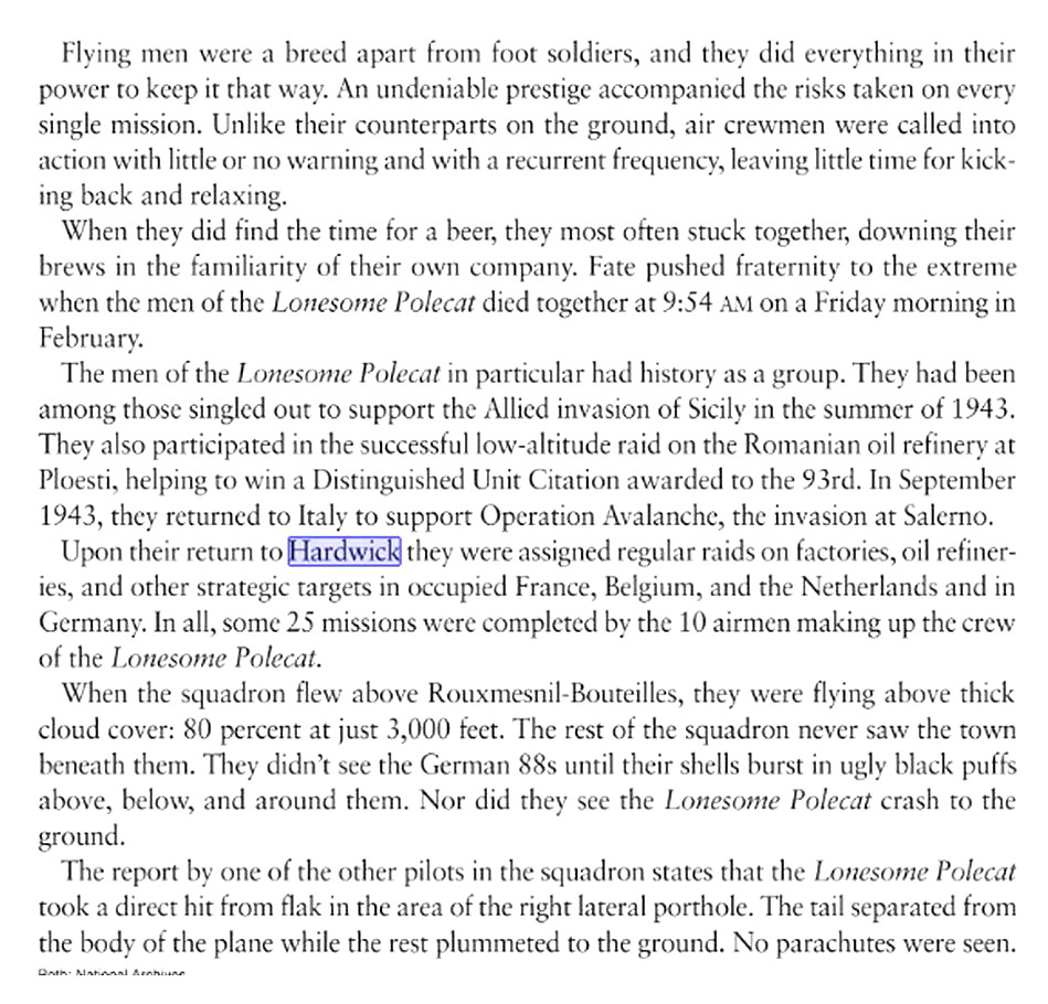
THE FATE OF THE FLYING FORTRESS 'LONESOME POLECAT'
The first and second items are from WW11 Quartely Fall. The photo shows the crew being administered to in prayer by one of the 8th Air Force chaplains, in this case Chaplain James Burris. As history has taught us, praying is futile for us mortals, any apparent result being mere coinicidence? But, to be fair, I am very cynical. Sadly, doing so did not save this crew.
A COUPLE OR SO MORE ITEMS
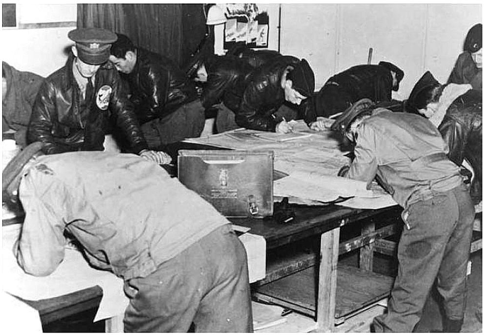
The photo of navigators studying their charts is also from WW11 Quarterly Fall.
A VERY, VERY IMPORTANT TARGET
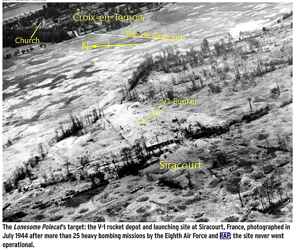
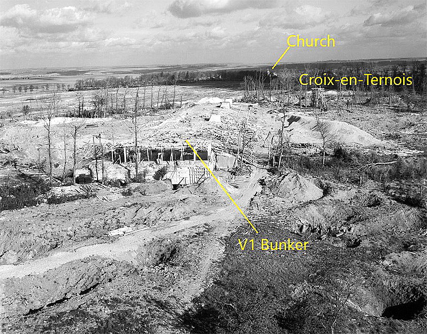
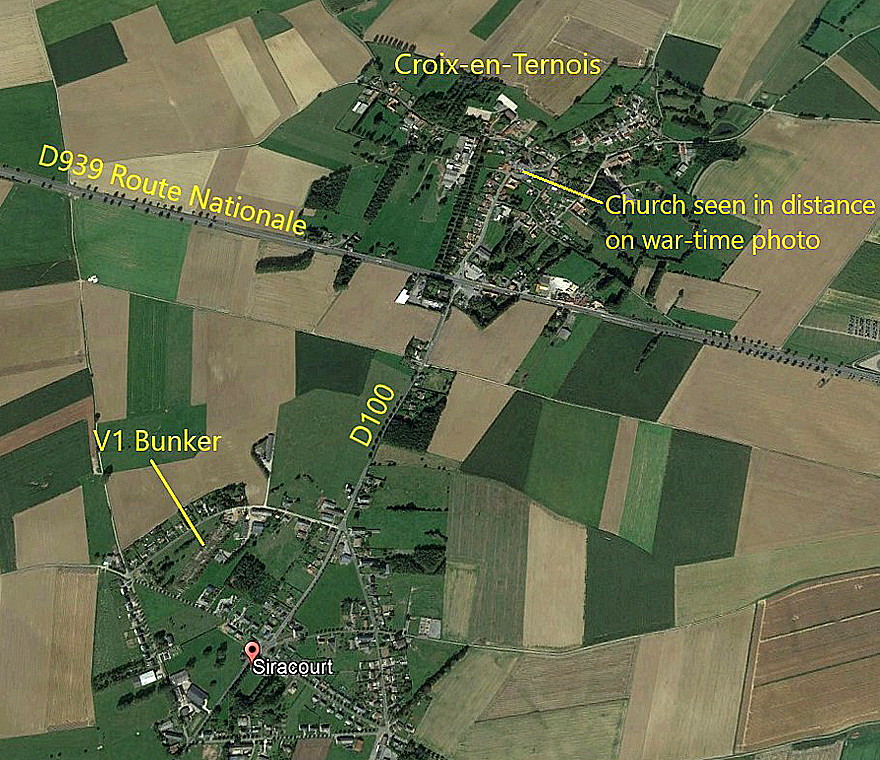
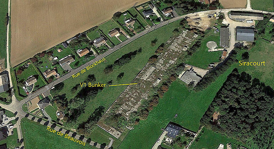
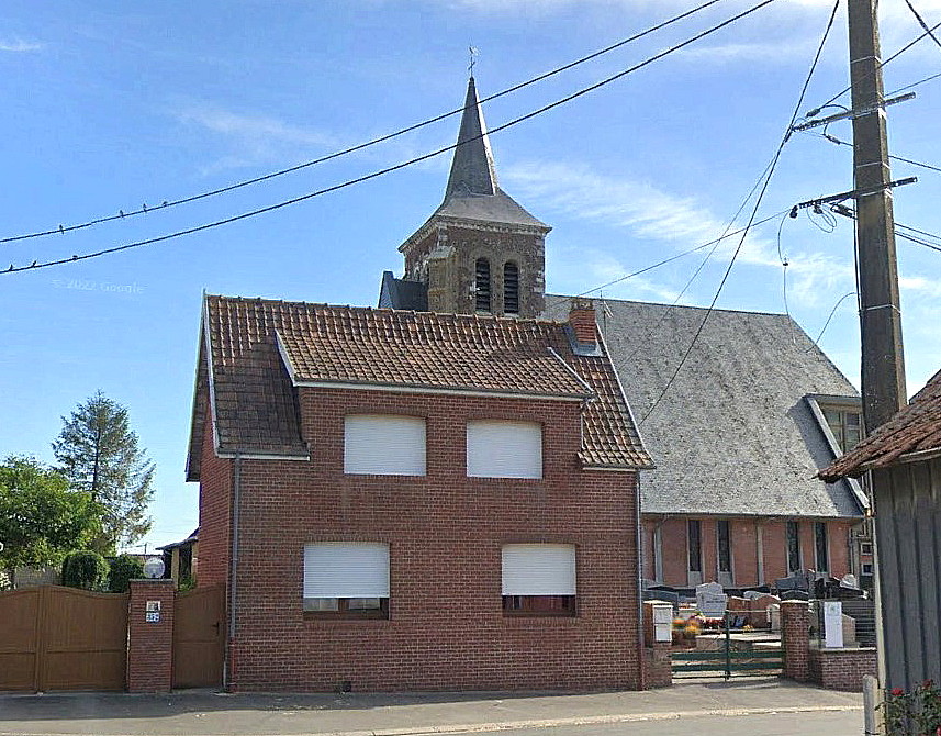
Mike Holder has kindly added these items for us to consider. The V.1 Bunker at Siracourt in northern France, being built during 1943/44, was intended to be a storage and launch site that was bomb-proof. It never became operational because of very intensive Allied bombing by both the USAAF and RAF. It also appears that apart from being the most heavily attacked of all the V-weapon sites, it was also the most heavily attacked of all military targets in Europe during WW2.
And of course for a very good reason. By 1943 Hitler can be regarded as being clinically insane? To continue with WW2 after all the signs were that he could not possibly win the conflict bears this out. But of course he had a vast team of scientists and designers, equally barking mad, (or perhaps kept in the dark?), but very, very clever, coming up with terror weapons such as the V.1 and the truly terrifying V.2.
Therefore, a V.1 bomb-proof launching site, around 110 miles from central London could not, at any price militarily certainly, had to be attacked and bombed to oblivion. This was a target for the USAAF 93rd Bomb Group, perhaps allocated more than once?
Note that, as clearly illustrated in the aerial photo, very few bombs landed on the target.
NOTES: Another big base in WW2 with 2972 USAAF personnel on station in late 1944.
In 1977 it appears five aircraft were based here: The pretty rare types Cessna A.188B Agwagon G-AZYC, Cessna 188A Agwagon G-BANI and two Cessna A.188B Agtrucks G-BBCV and G-BBFT were all operated by Mindacre Ltd, presumably for crop-spraying?
The Cessna U206F G-BATD was listed as belonging to Mr R Slarke.
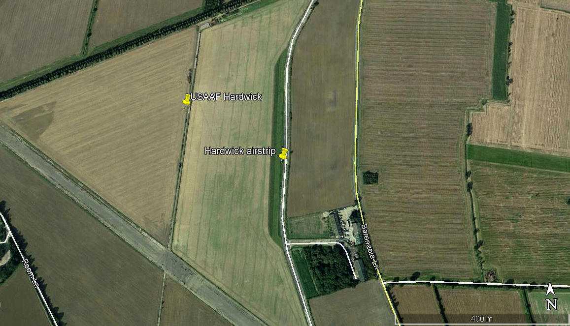
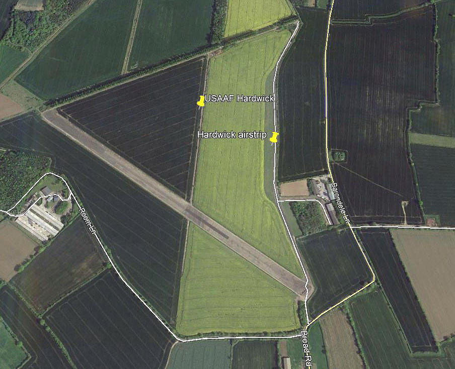
THE HARDWICK AIRSTRIP
Note: All three of these pictures were also obtained from Google Earth ©
NOTES: This I think this is very interesting, if like me, (but still trying to become one), you are something of an 'anorak'. The first picture, 2006, certainly shows a defined airstrip: 18/36 450 grass
A Google Earth image in 2005 shows nothing. However, later images still show the slender area in which the 2006 airstrip existed. But, was it still being used?
If anybody can kindly offer advice and information, this will be much appreciated.
Paddy McKay
This comment was written on: 2017-11-16 04:50:10I flew crop spraying ops in UK, Egypt, Sudan, Libya, Oman and Ireland between 1976 and 1981.
Reply from Dick Flute:
Hi Paddy, Many thanks, that is some career. Would you mind telling us what type(s) you flew from Hardwick. Best regards, Dick
James Vincent
This comment was written on: 2019-06-03 11:17:04I am enquiring as to whether it would be possible to use your runway for driving skills assessment and defensive driving techniques. we are prepared to hire it if need be if this is possible then please don't hesitate to get in touch for more info
Reply from Dick Flute:
Hi James, I don't think this 'Guide' is really suitable for such an enquiry. However, I will keep your request posted. Kind regards, Dick
We'd love to hear from you, so please scroll down to leave a comment!
Leave a comment ...
Copyright (c) UK Airfield Guide


