Hereford racecourse
HEREFORD RACECOURSE: Once a temporary Landing Ground, later a private airfield
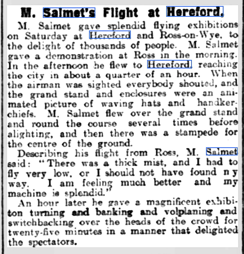
NOTE: The first example we have of this location being used for the purposes of 'committing aviation' comes from 1912. In that year the Daily Mail sponsored the then very famous French aviator, Henri Salmet to undertake a tour - mostly in England but including South Wales and ending up in Ireland. Departing from west London he made his way across to South Wales before doubling back to head south-west for the West Country. He then turned around again to visit the south-western regions of the Midlands. Do please see my article regarding this Tour giving the full schedule compiled by Mike Holder, a great friend of this 'Guide'.
Flying up from Ross-on-Wye, en route to Worcester, it appears he arrived on the 20th July 1912, stayed for a day, then departed for Worcester on the 22nd.
A MICHAEL T HOLDER GALLERY
Note: The newspaper article was published in the Evesham Standard & West Midland Observer on the 27th July 1912.
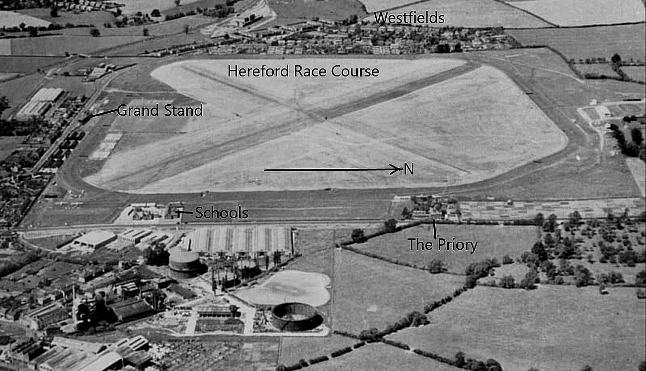
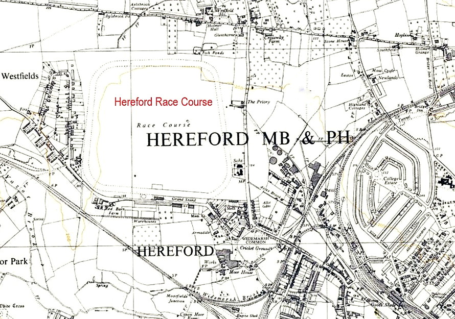
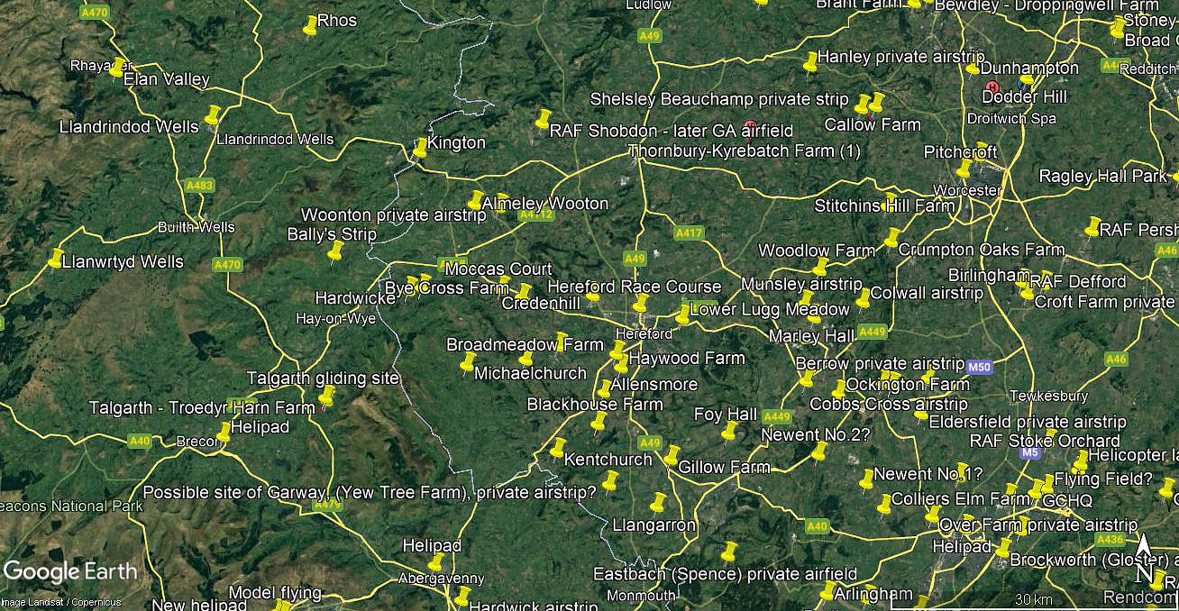
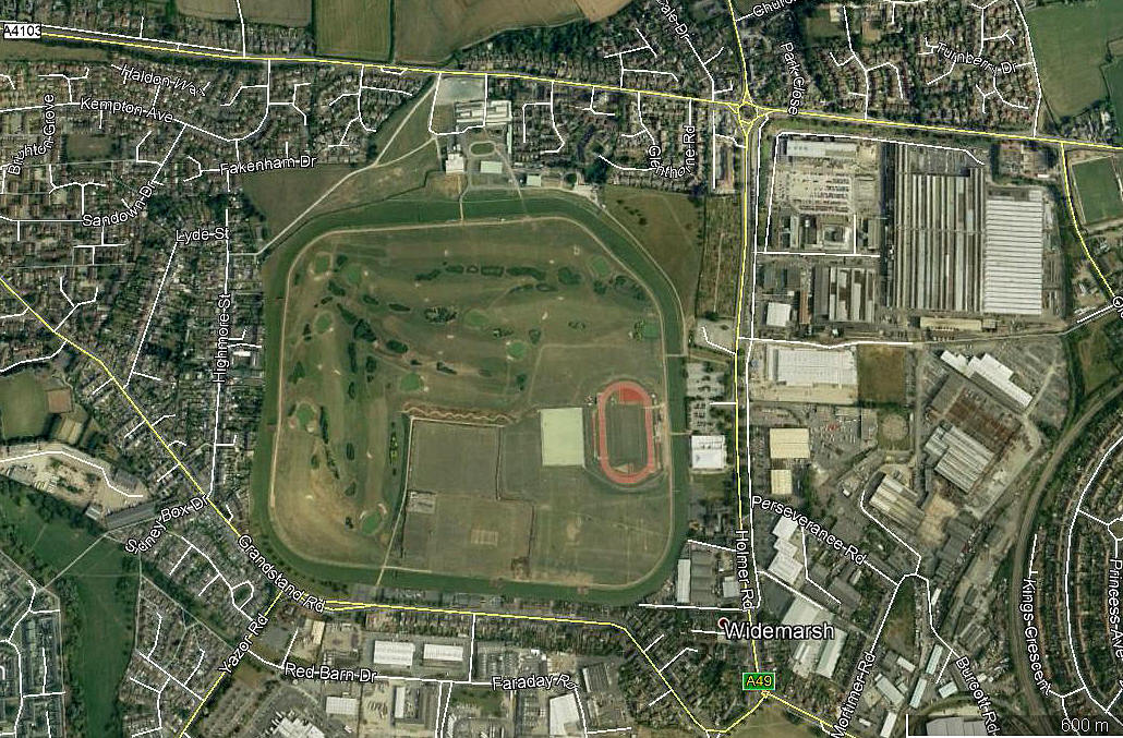
Note: The aerial photo above clearly shows the airfield. Was it used during WW2? The area view is from my Google Earth © derived database.
Note: This picture was obtained from Google Earth ©
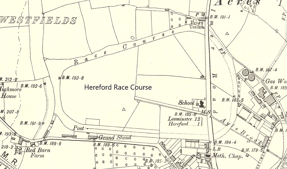
Location: In the middle of the racecourse which itself is roughly 1nm NW of Hereford city centre
Period of operation: 1950s until the early 1960s
Runways: Two, at right-angles to each other
Note: I do not know the orientation of the runways, but the maximum landing runs would have roughly been 580 N/S, 620 E/W, 690 NE/SW and 750 NW/SE
NOTES: I have Terry Clark, initially, to thank for this information and he points out that the ARG (Airfield Research Group) website has a picture.
We'd love to hear from you, so please scroll down to leave a comment!
Leave a comment ...
Copyright (c) UK Airfield Guide


