Now having 7,000 + listed!

Probably becoming the most extensive British flying sites guide online...?

portfolio1 portfolio2 portfolio3 portfolio4

Heading 1

This is an example of the content for a specific image in the Nivo slider. Provide a short description of the image here....

Heading 2

This is an example of the content for a specific image in the Nivo slider. Provide a short description of the image here....

Heading 3

This is an example of the content for a specific image in the Nivo slider. Provide a short description of the image here....

Heading 4

This is an example of the content for a specific image in the Nivo slider. Provide a short description of the image here....

small portfolio1 small portfolio2 small portfolio3 small portfolio4
themed object
A Guide to the history of British flying sites within the United Kingdom
get in touch

High Easter


HIGH EASTER: Private airfield and gliding site

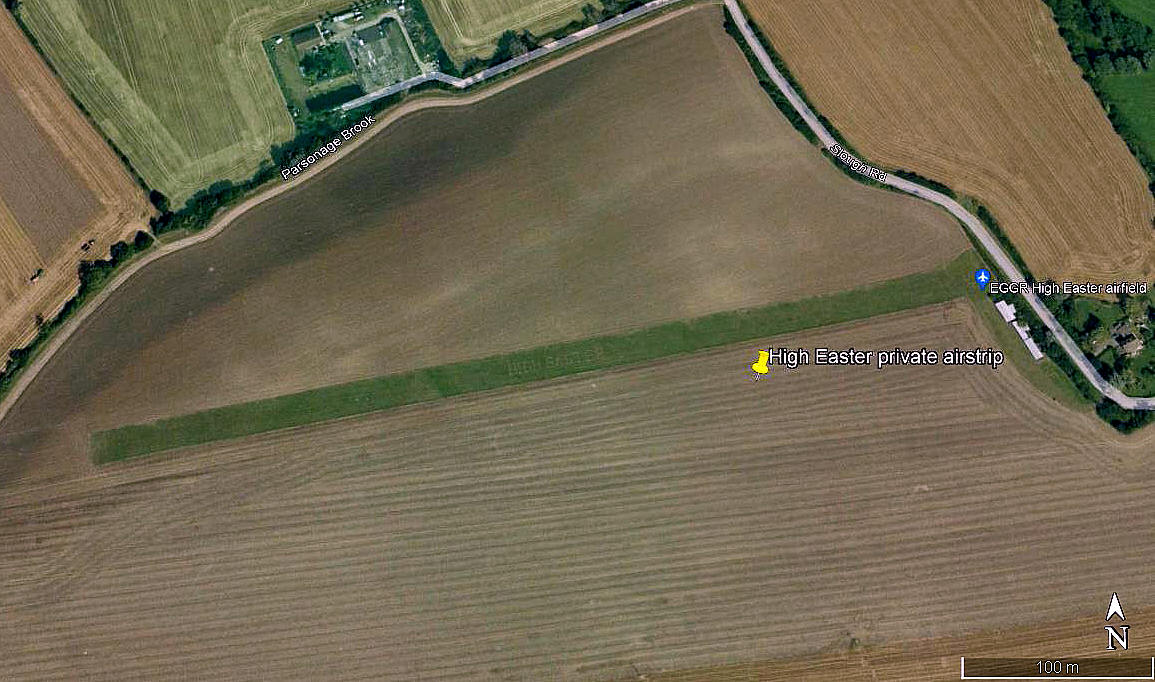
Aerial view 2000
Aerial view 2000
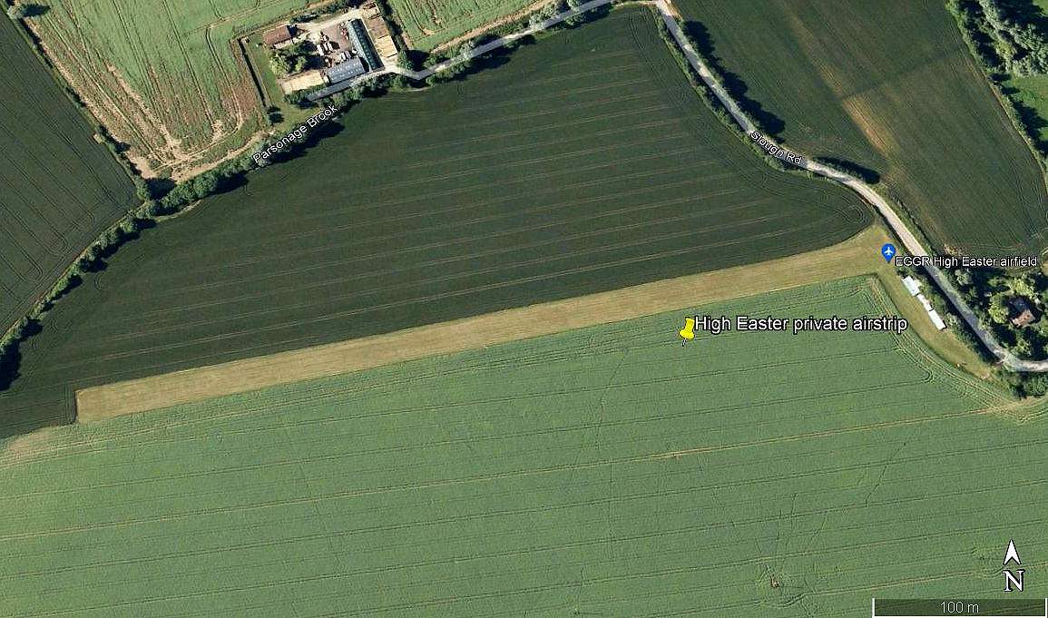
Aerial view 2009
Aerial view 2009
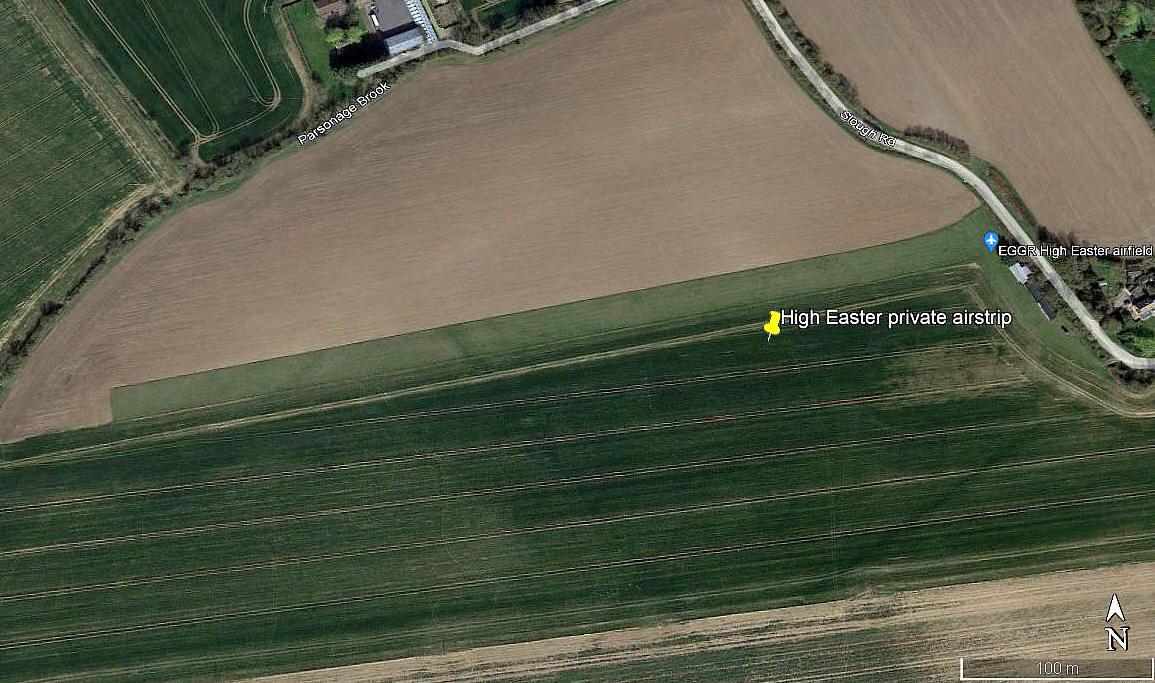
Aerial view 2021
Aerial view 2021
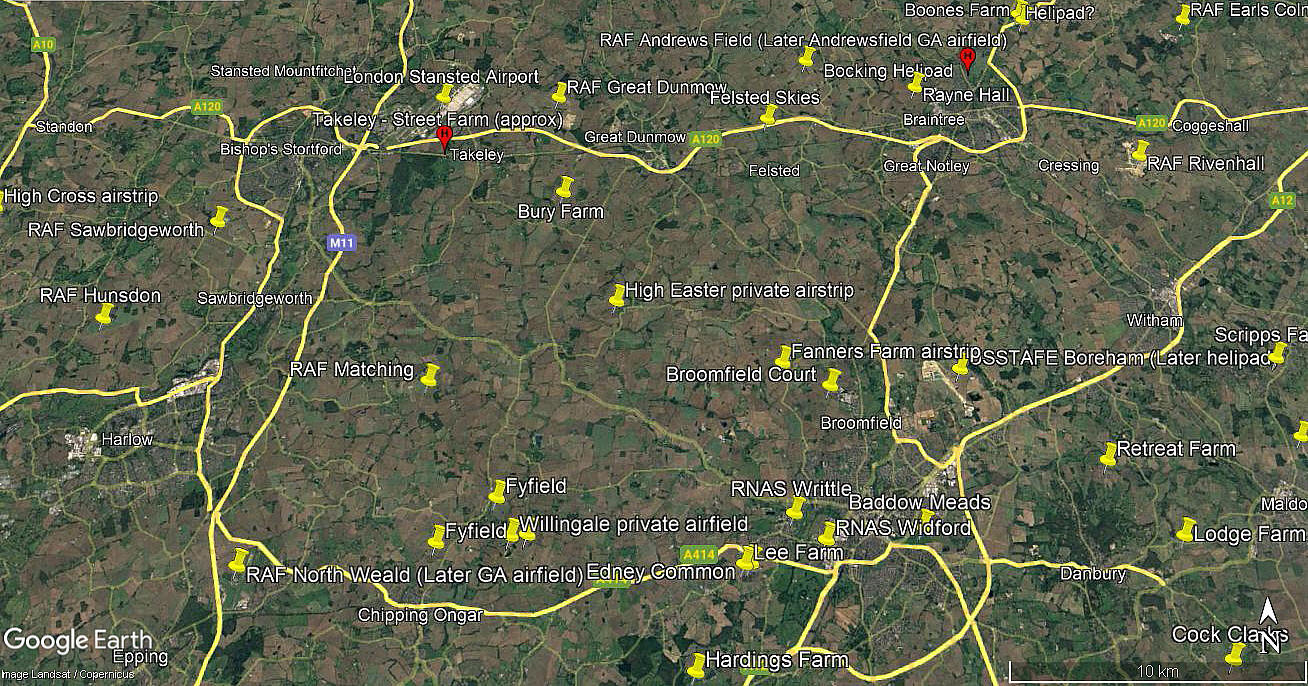
Area view
Area view


Note:  The first three pictures were obtained from Google Earth ©. The area view is from my Google Earth © derived database.


Operated by: 1970s to 1992: Mr M B Luckin
 

Location: 1nm W of High Easter, 4nm S of Great Dunmow, 7nm NW of Chelmsford

Period of operation: 1970s to -


High Easter in 2000
High Easter in 2000

Note: This map is reproduced with the kind permission of Pooleys Flight Equipment Ltd. Copyright Robert Pooley 2014.

Runway: 1990: 08/26   450x21   grass 

2000: 08/26   450x21  grass


NOTES: Occasional glider activity in recent years it seems although I found this listed as being just a gliding site in 1975, in 1990 listed as a BGA approved site. In the mid 1970s two aircraft were listed as based here; Auster J/5Q Alpine G-AOZL and the Taylor JT.1 Monoplane G-AYSH.

As always in this 'Guide', anybody kindly offering advice and information is much appreciated. Pictures are always most welcome. 


David Law

This comment was written on: 2020-02-26 13:04:14
 
51°48'19.4"N 0°20'29.6"E
 

We'd love to hear from you, so please scroll down to leave a comment!


Leave a comment ...


Name
 
Email:
 
Message:


Copyright (c) UK Airfield Guide


slide up button