Highclere GA
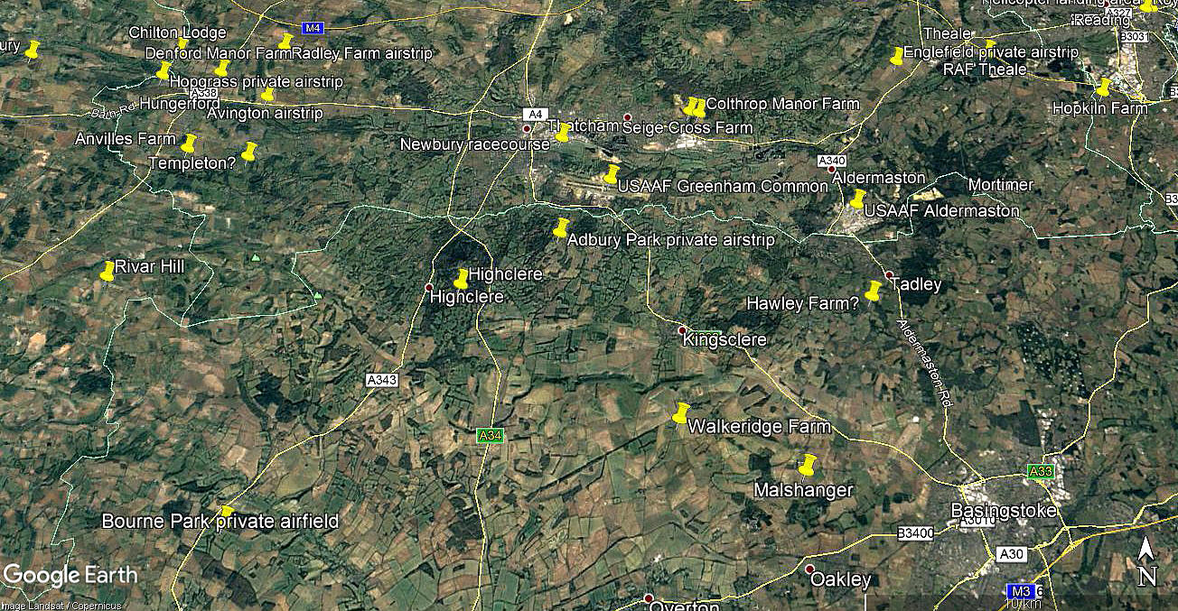
Note: This map only shows the position of Highclere village within the UK.
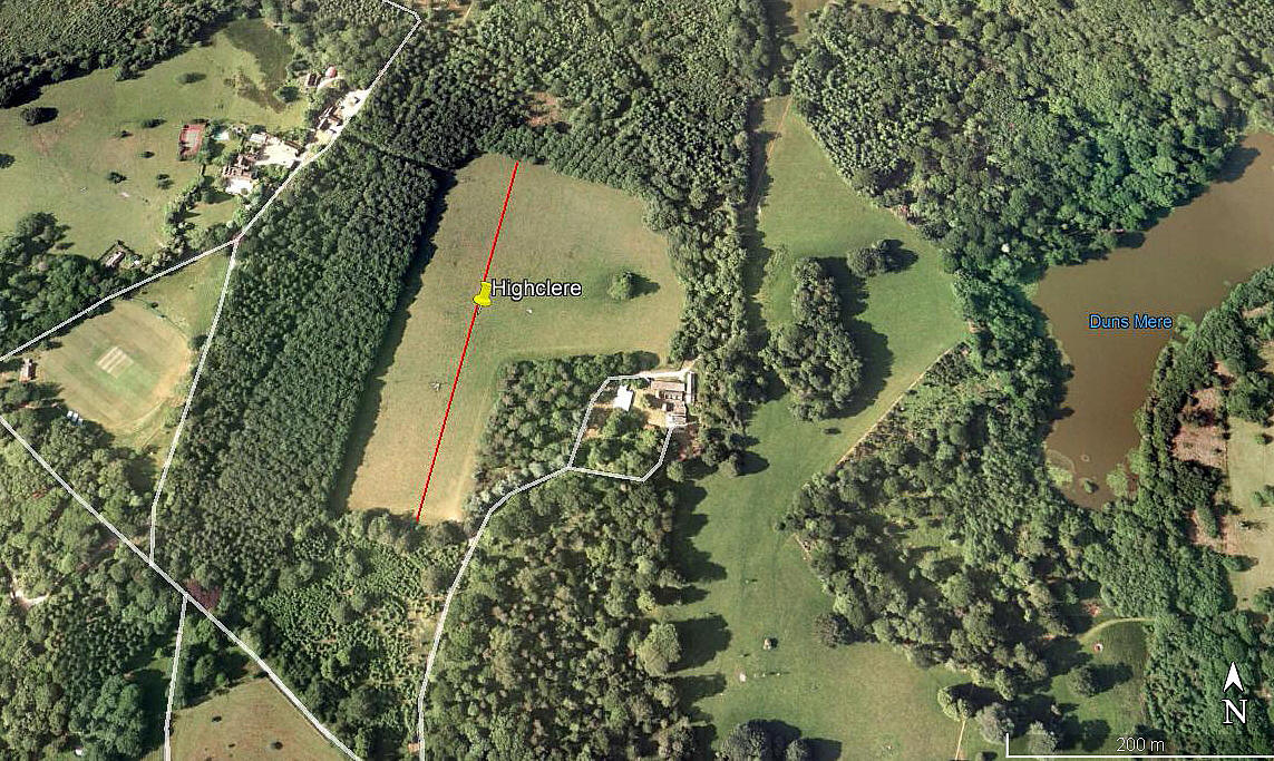
HIGHCLERE: Private airstrip
Note: Both of these pictures were obtained from Google Earth ©
Location: Just E of Highclere village, roughly halfway between the A343 & A34, about 4.5nm SSW of Newbury town centre
Period of operation: 2007 to 2008 only perhaps?
Runway: N/S grass (field 350m with an approximate LDA of 260m)
NOTES: Info source AAIB report EW/C2008/04/03.
Used only by the Dyn’Aero MCR-01 registered 21-YV (F-JQHZ)? In June 2020 my good friend Karel Adams pointed out that 21-YV is the registration and that F-JQHZ would have been the radio call-sign.
I have to point out that there is certainly some doubt that the location shown in the 2005 picture is correct. But, having thoroughly searched the area on Google Earth over a twenty year time span, this does appear to be a 'perfect fit'. Especially as, with smallish trees at both ends, the LDA of 260 metres makes a lot of sense. However, if anybody can kindly offer advice, this will be much appreciated.
Paul Doyle
This comment was written on: 2020-03-02 16:31:52For a long weekend in September 2010 the de Havilland Moth Club used Seven Barrows field, on the Highclere Estate and just west of the A34 road, for a fly-in to celebrate the 100th anniversary of Sir Geoffrey de Havilland having successfully flown his first aeroplane from there in 1910. This is the only known aviation activity on the site, which is nowhere near the village.
We'd love to hear from you, so please scroll down to leave a comment!
Leave a comment ...
Copyright (c) UK Airfield Guide


