Hill Farm
HILL FARM: Private airstrip (Aka KIER BRAE of GARDEN, KIER GARDEN and GARDEN)
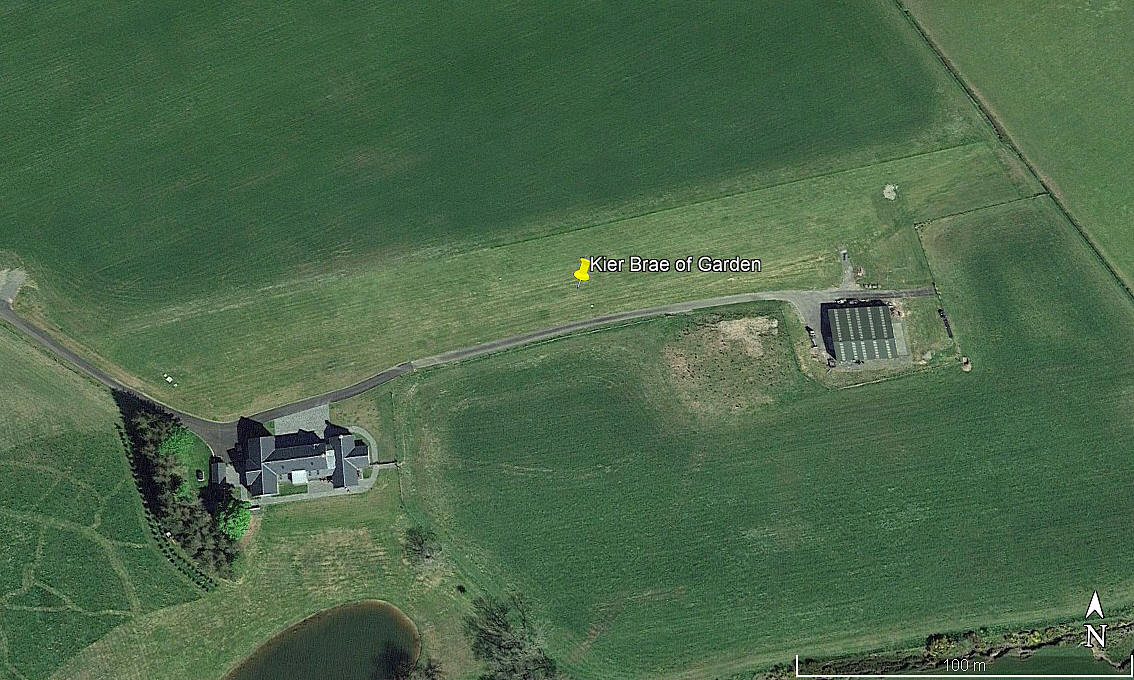
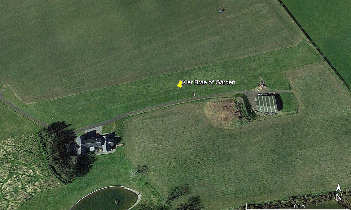
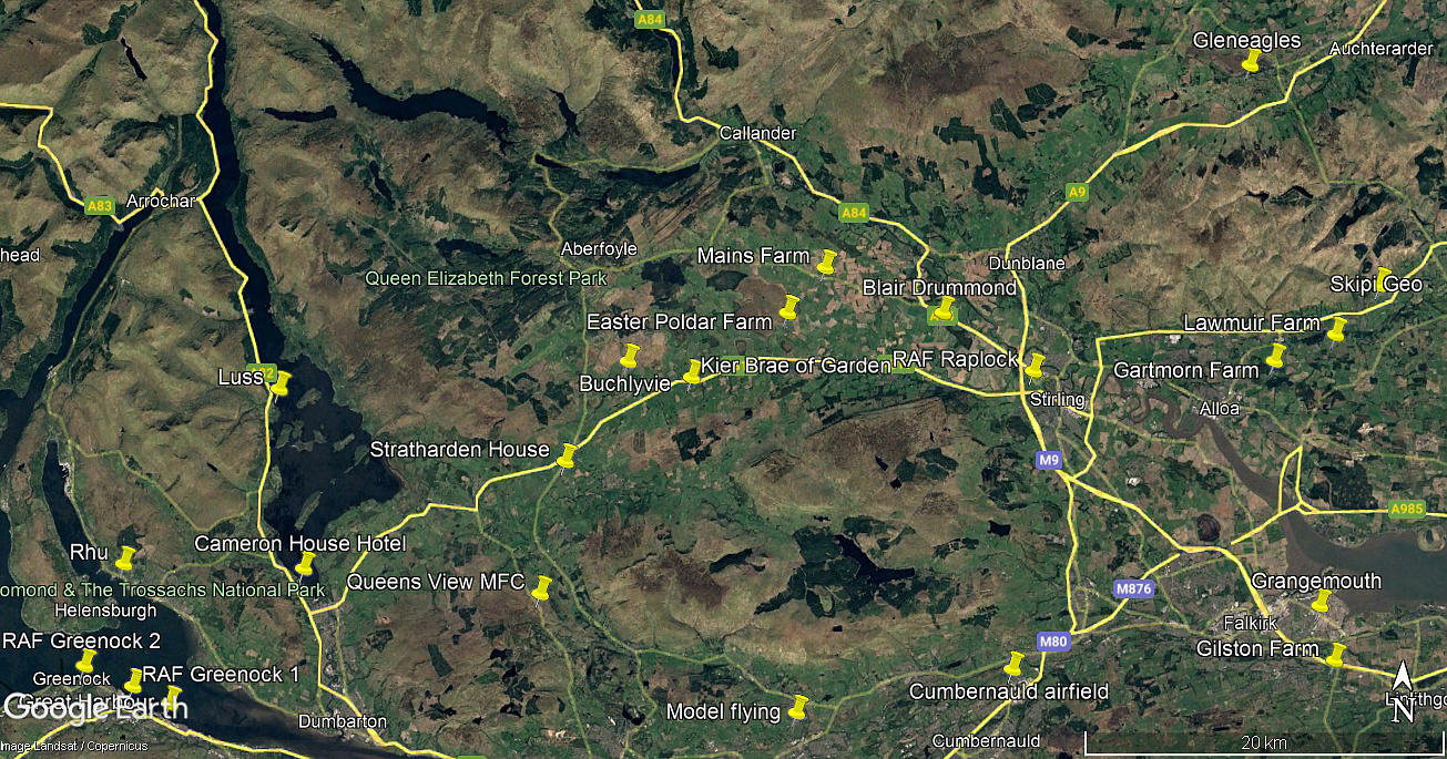
Note: The first two pictures were obtained from Google Earth ©. The area view is from my Google Earth © derived database.
Location: Just SE of Kier Brae of Garden village, S of the A811 and about 12nm W of Stirling city centre
Period of operation: 2012 to -
Runway: 07/25 280 grass
NOTES: I have kindly been informed by the owner/operator that this airstrip is purely private.
We have Mr Karel Adams, now residing in Portugal, and a very good friend of this 'Guide', to thank for pointing out this location. As always, if anybody can kindly offer advice and information, this will be most welcome. Pictures are of course always much appreciated.
I know I have banged on about this subject several times elsewhere in this 'Guide', and, this location is another good example. It is actually situated in STIRLINGSHIRE, but, on modern maps the County appears as STIRLING. For all sorts of reasons, some seeming rather dubious, some very dubious, the various authorites around the U.K. have often seen fit to invent new Counties, although in this case it is just a renaming exercise.
The fact remains that the original Counties still exist, and in this 'Guide' I have tried to reflect this, although, hopefully in most cases, I have provided a cross reference. It appears that only an Act of Parliament can change a County, presumably from Westminster despite devolution, and I have not found one example of this ever happening. You can acquire a map of the 'original' Counties, and I have one.
We'd love to hear from you, so please scroll down to leave a comment!
Leave a comment ...
Copyright (c) UK Airfield Guide


