Hold Farm
HOLD FARM: Private airstrip (Aka LAVENDER HILL, HANNINGTON & ORLINGBURY HOLD FARM)
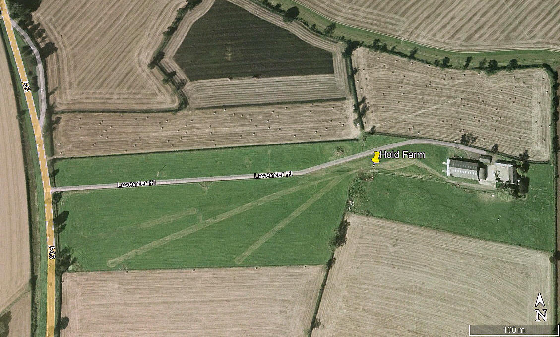
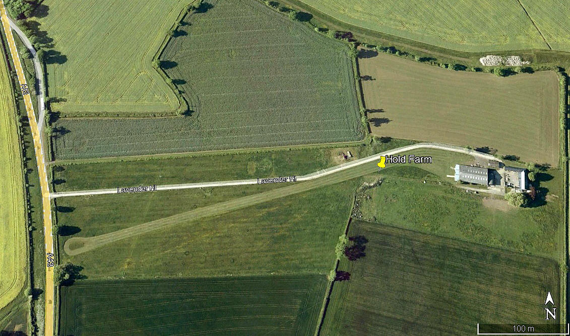
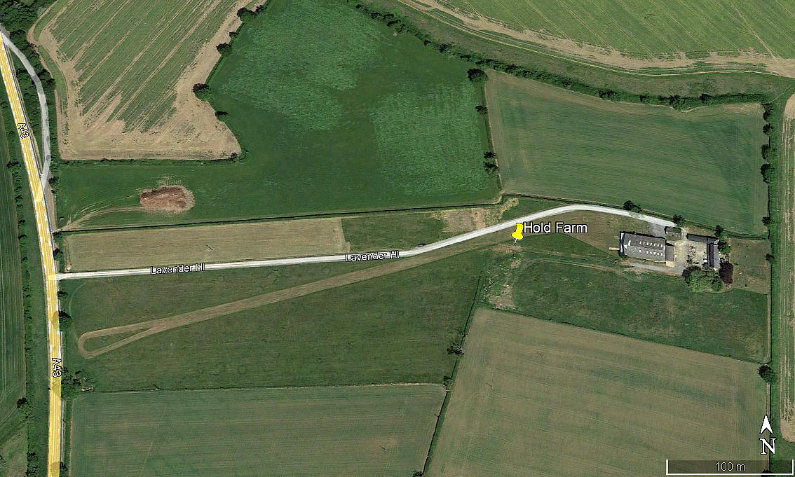
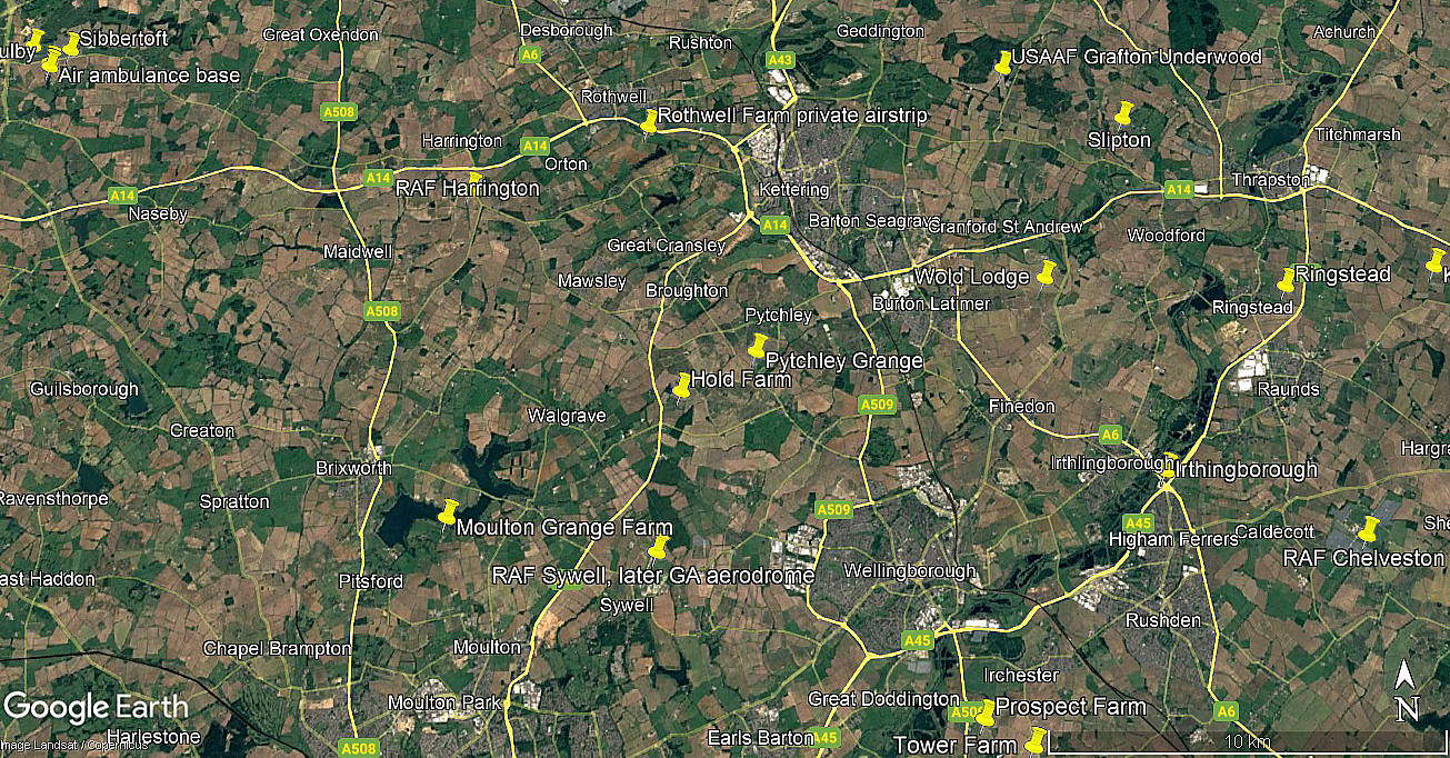
Note: The first three pictures were obtained from Google Earth ©. The local area view is from my Google Earth © derived database.
Location: Just E of the A43, just NE of Hannington village and about 4nm SSW of Kettering town centre
Period of operation: Unknown? Perhaps from the 1990s (?) to -
Runway: 08/26 360 grass
NOTES: The 2004 picture shows two runways, 07/25 of 330 metres, and 05/23 of 200 metres. As always, if anybody can kindly offer advice and information, this will be most welcome. Pictures are very much appreciated.
We'd love to hear from you, so please scroll down to leave a comment!
Leave a comment ...
Copyright (c) UK Airfield Guide


