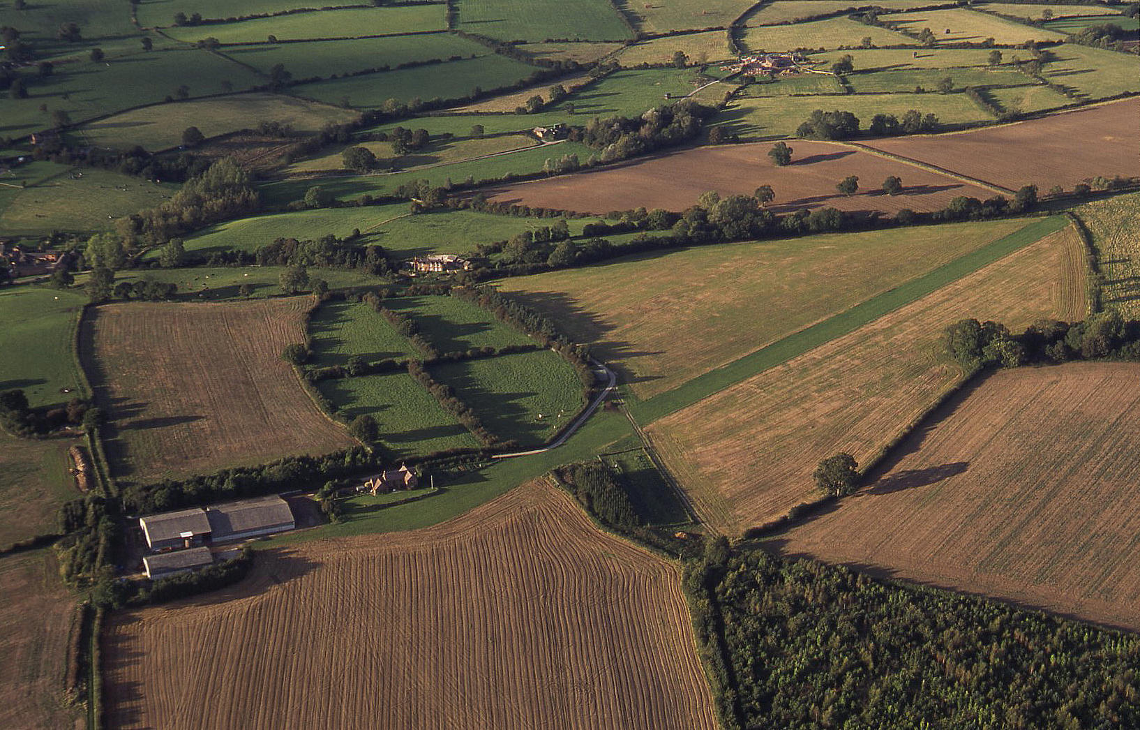
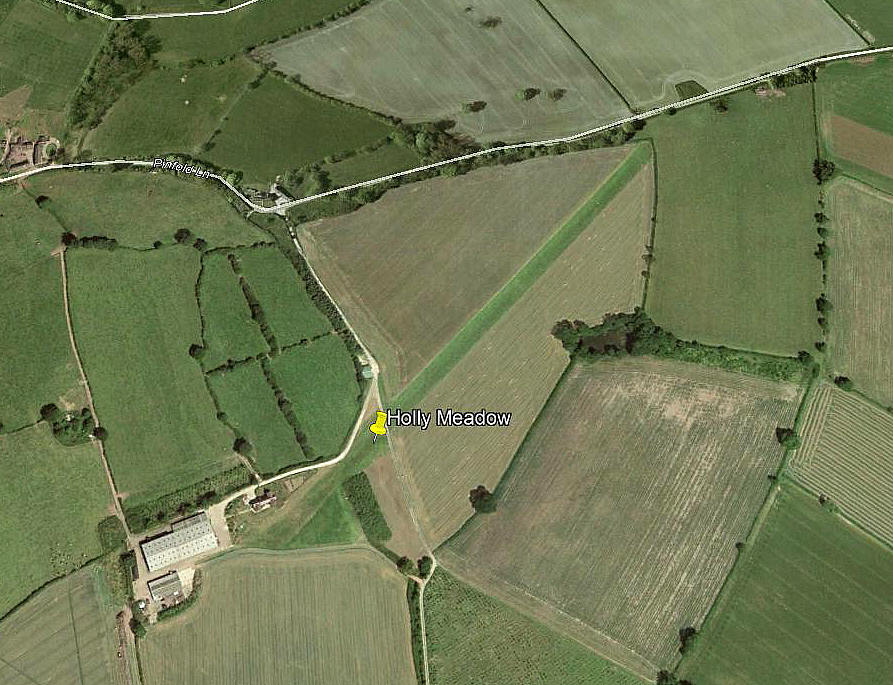
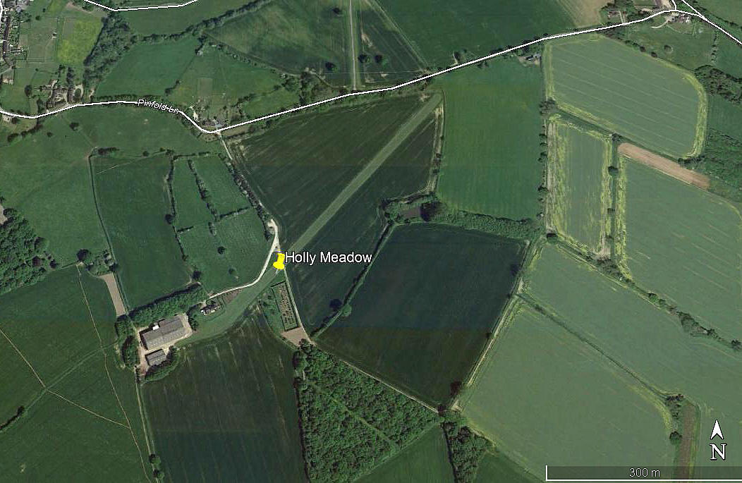
Holly Meadow
HOLLY MEADOW: Private airstrip
Note: The first picture by the author. The following three pictures are from Google Earth ©
The third detail picture appears to show an aircraft - possibly a Tiger Moth? But it seems to missing its tailplane?
Location: Roughly 3nm ESE of Ashbourne town centre
Period of operation: 1980s to –
Runway: 2000: 05/23 580x12 grass
2017: 04/22 580 grass
NOTES: If you have any sense the first thing you learn when being taught to fly is to quickly develop a deep distrust of all ‘official’ information. Obviously you need to bear it in mind but it is often flawed. It is then up to you to spot the mistakes! Many thanks to Peter Vercruijsse (see 'Comment' below) for pointing out this error. I was given the BROOK FARM identity by a local flying instructor who I was flying with to photograph the area.
Peter Vercruijsse
This comment was written on: 2019-07-21 14:10:26This is not Brook Farm but Holly Meadow. Brook Farm is at 52.91925N 001.73770W.
We'd love to hear from you, so please scroll down to leave a comment!
Leave a comment ...
Copyright (c) UK Airfield Guide


