Holmsey South
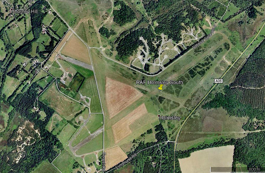
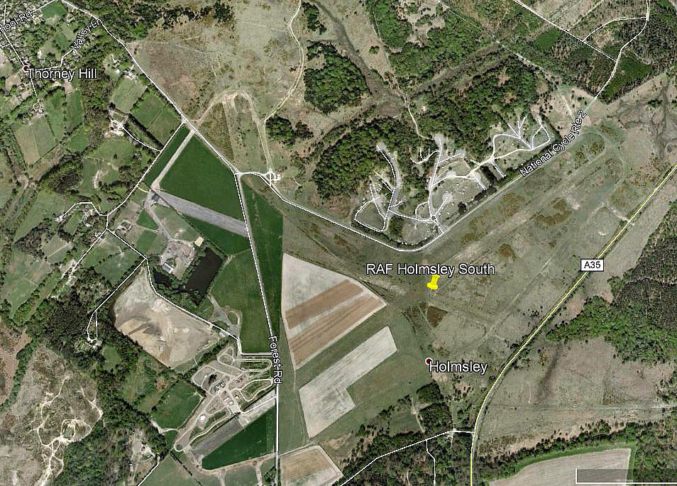
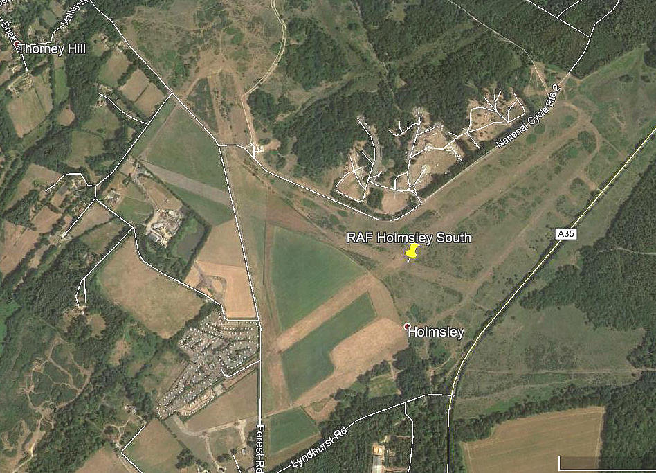
Note: These three pictures were obtained from Google Earth ©
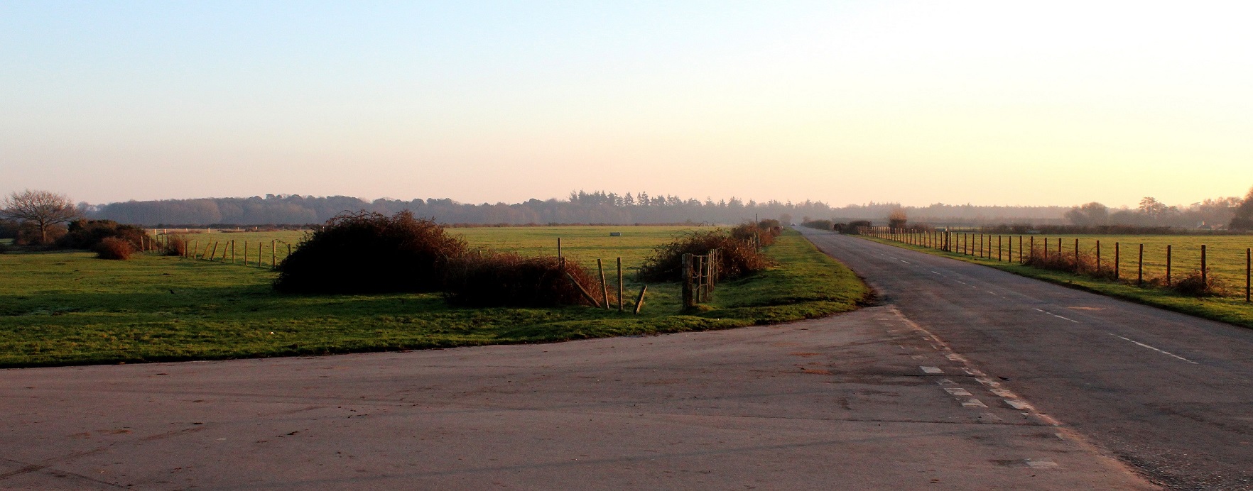
Note: Pictures by the author, January 2017. In the view of the location for runway 17/35 the public road runs along the western edge. The almost intact section of runway 12/30 is the western end which protudes from the junction with what was runway 17/35.
HOLMSLEY SOUTH: Military aerodrome (also known as PLAIN HEATH)
Military users: RAF Transport Command 116 Wing
RAF Coastal Command
58 Sqdn (Handley Page Halifaxs)
167 Sqdn (Vickers Warwicks)
RAF Fighter Command
315 (Polish) Sqdn (Vickers-Supermarine Spitfires)
418 Sqdn (DH Mosquitos)
USAAF too at one time it seems? (Any details known?)
Location: NW of A35, SE of Thorney Hill village, 6nm NE of Christchurch
Period of operation: 1942 to 1946
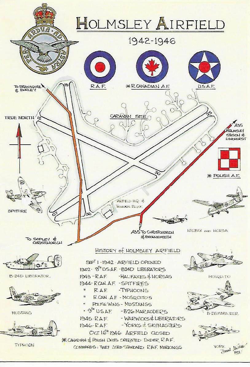
Note: This plan of HOLMSEY is from a postcard, kindly sent to me by Mike Charlton who has an amazing collection. See, www.aviationpostcard.co.uk
This appears to illustrate the fact that I have a lot more research to do, regarding the various units/squadrons etc using this airfield. If anybody can kindly assist, offer advice and information, this will be much appreciated.
Runways: 06/24 1801x46 hard 12/30 1280x46 hard
17/35 1253x46 hard
NOTES: I was taken onto the remains of this aerodrome back in the 1960s to practise, when learning to drive a car. In those days we used part of a runway and I never gave the history a single thought - it was just a very convenient place with loads of space.
Today some forty years later, I am now astonished to find that in its day it was a major RAF aerodrome in late 1944 with, (although having only temporary accommodation), some 2625 RAF personnel on station plus 338 WAAFs.
We'd love to hear from you, so please scroll down to leave a comment!
Leave a comment ...
Copyright (c) UK Airfield Guide


