Now having 7,000 + listed!

Probably becoming the most extensive British flying sites guide online...?

portfolio1 portfolio2 portfolio3 portfolio4

Heading 1

This is an example of the content for a specific image in the Nivo slider. Provide a short description of the image here....

Heading 2

This is an example of the content for a specific image in the Nivo slider. Provide a short description of the image here....

Heading 3

This is an example of the content for a specific image in the Nivo slider. Provide a short description of the image here....

Heading 4

This is an example of the content for a specific image in the Nivo slider. Provide a short description of the image here....

small portfolio1 small portfolio2 small portfolio3 small portfolio4
themed object
A Guide to the history of British flying sites within the United Kingdom
get in touch

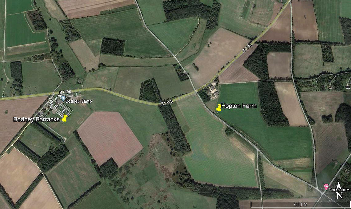
Hopton Farm


Note: This map only shows the position of Hopton Farm buildings. If anybody can kindly provide a more exact location for the airstrip, this advice will be most welcome.


HOPTON FARM: Private airstrip

Local area view
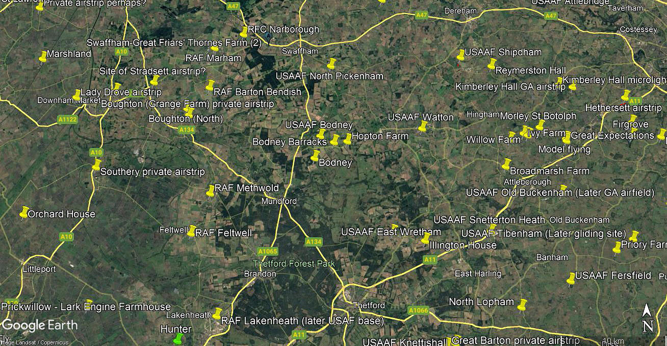
Local area view
Area view
Area view


Note:  Both of these pictures are from my Google Earth © derived database.


Location: Just S of the B1108, just SW of Little Cressingham village, 3nm ESE of Watton
 

Period of operation: 1980s only?


NOTES: A good look at Google Earth in 2016, prior to making this entry to the 'Guide' appears to show no evidence of the airstrip still being active. But of course many farm strips are only active for a short period, in some cases only for one season. And indeed, these may not involve even a rudimentary runway being mown - just a flat enough field. 


We'd love to hear from you, so please scroll down to leave a comment!


Leave a comment ...


Name
 
Email:
 
Message:


Copyright (c) UK Airfield Guide


slide up button