Humbleton
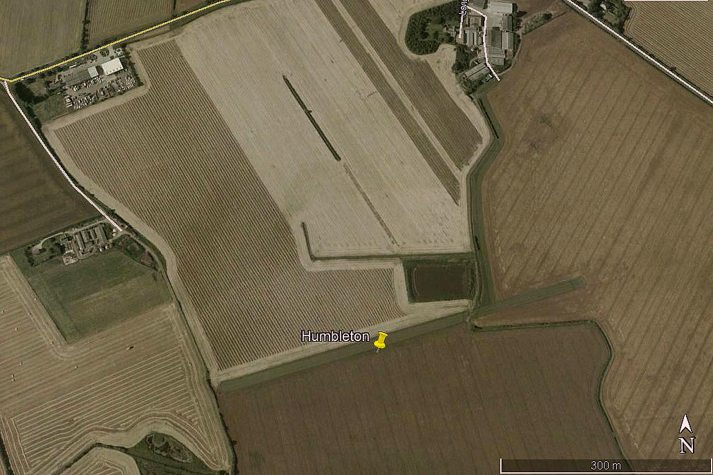
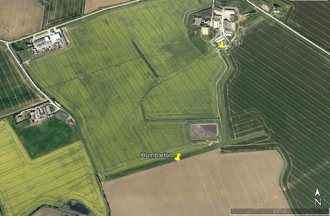
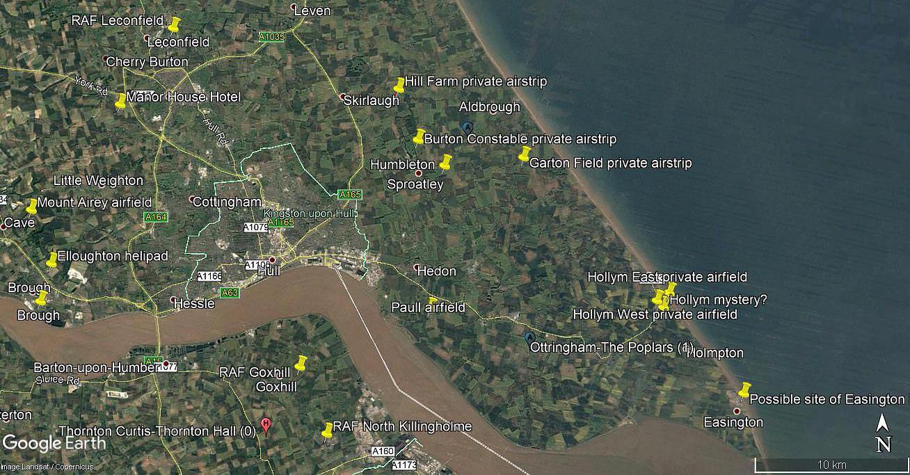
Notes: This map only shows the location of Humbleton village. A good search around on Google Earth in 2016 (image dated 2007) appears to show no evidence of this airstrip. This said there are a couple of strips fairly close by with similar characteristics, but I have identified these under different names using a variety of sources. Can anybody kindly help out here?
HUMBLETON: Private airstrip (Aka MOOR FARM and MOORLANDS?)
Note: These three pictures were obtained from Google Earth ©
Operated by: 1970s to 2000: Mr C R Knapton Esq (also spelt Knampton in one listing)
Location: On Moor Farm, S? of B1238, ENE of Sproatley, 7nm ENE of Hull city centre
Runway: 1990/2000: 08/26 610x14 grass
Note: Later reduced to 570 metres
NOTES: In the mid 1970s it appears that the only aeroplane based here was the Piper PA-28 Cherokee 160 G-ARVT registered to Mr C R Knapton.
One aspect which is most unusual for airstrips is the very long taxiway from a hangar to the airstrip. Presumably there was a good reason for this? It appears the airstrip ceased being operational around 2010, or thereabouts.
As always in this 'Guide', if anybody can kindly offer advice, this will be most welcome. Plus of course, pictures are always much appreciated.
We'd love to hear from you, so please scroll down to leave a comment!
Leave a comment ...
Copyright (c) UK Airfield Guide


