


Iden
IDEN: Private airstrip

Note: The first seven pictures were obtained from Google Earth ©. The local area view is from my Google Earth © derived database.
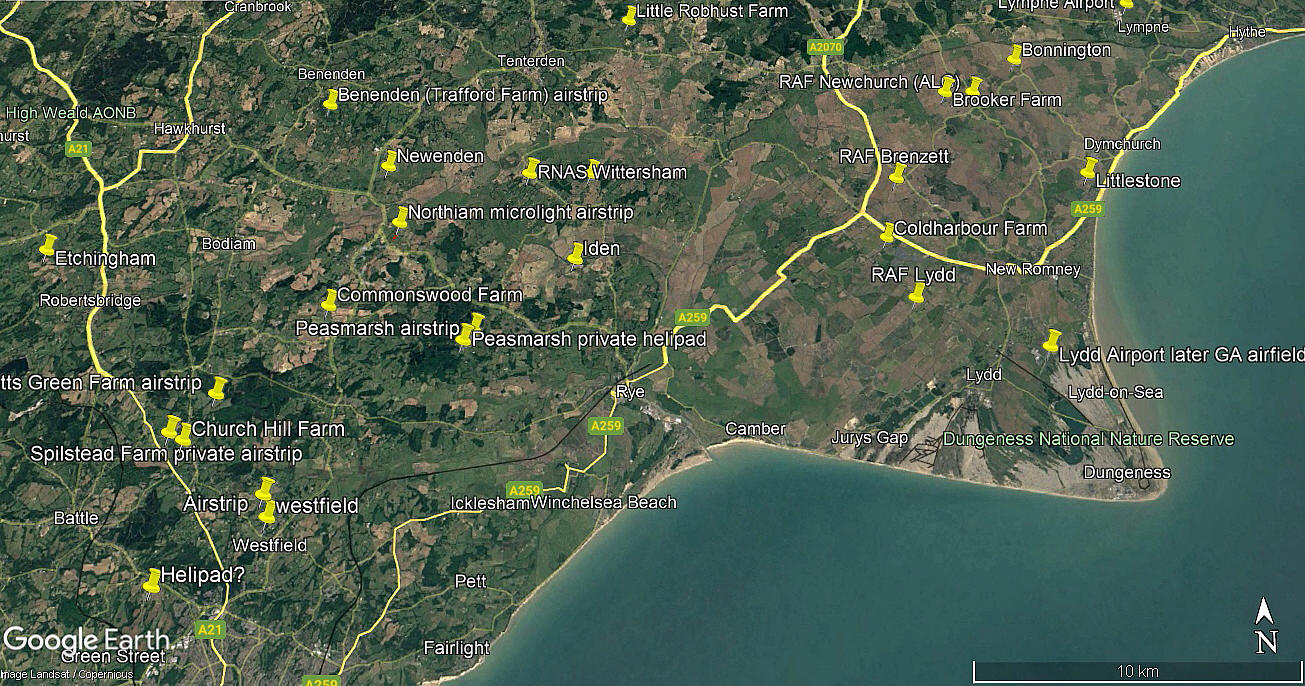
Location: About 1nm NW of Iden village and roughly 3nm NNW of Rye town centre
Period of operation: Unknown? No sign in 1990. Probably early 2000s to -
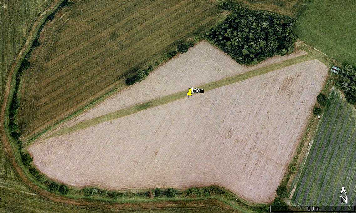
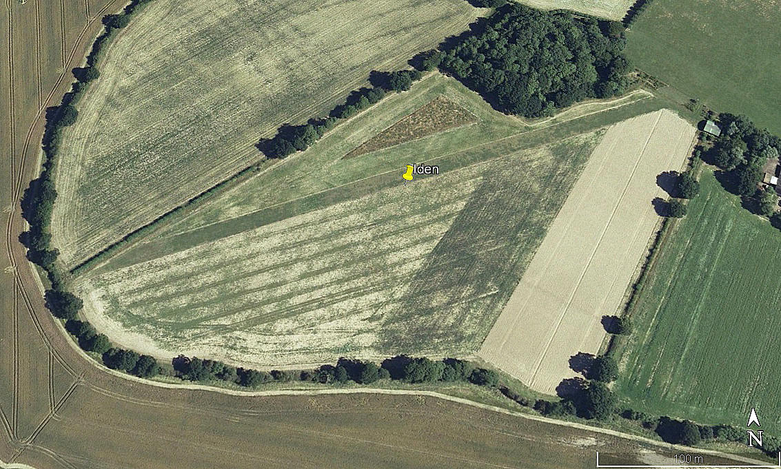
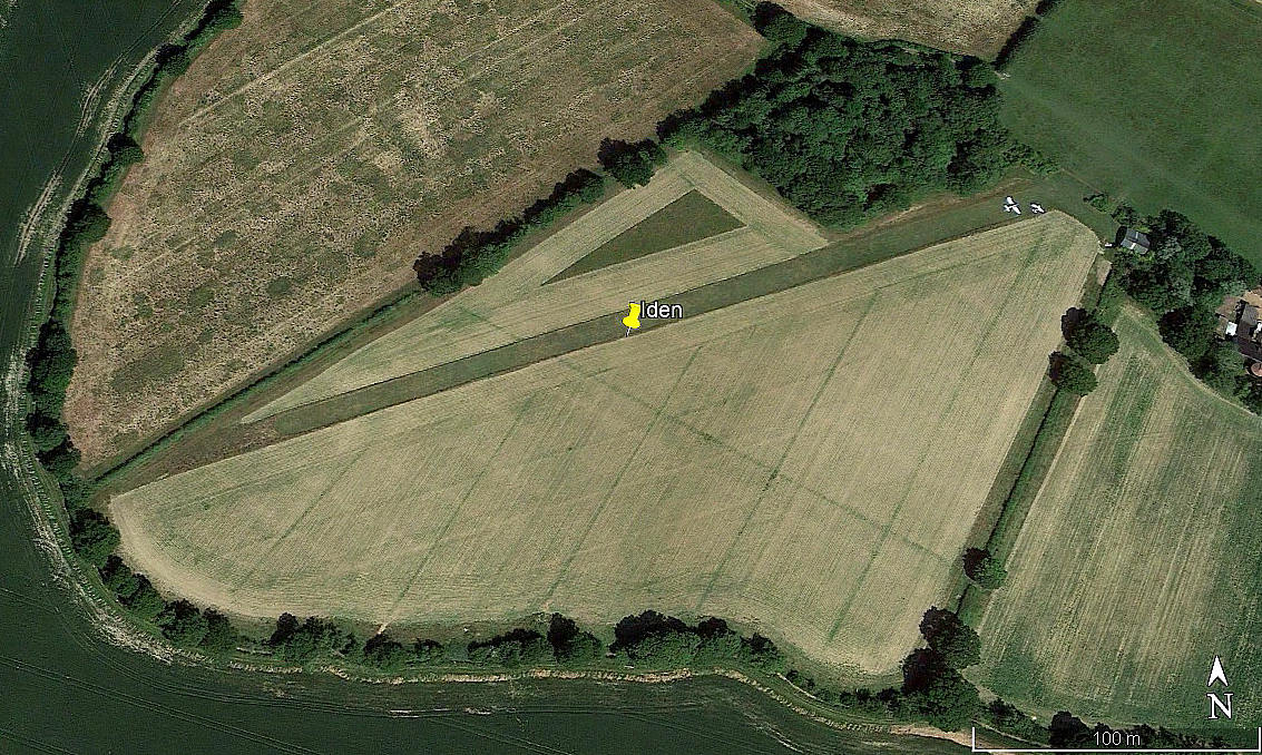
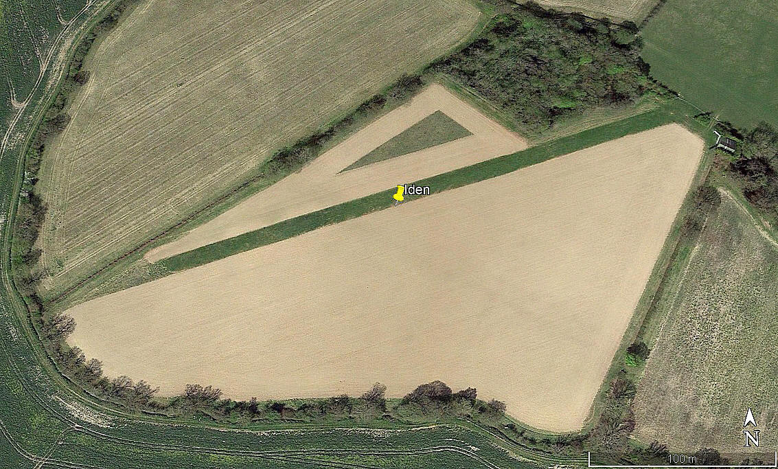
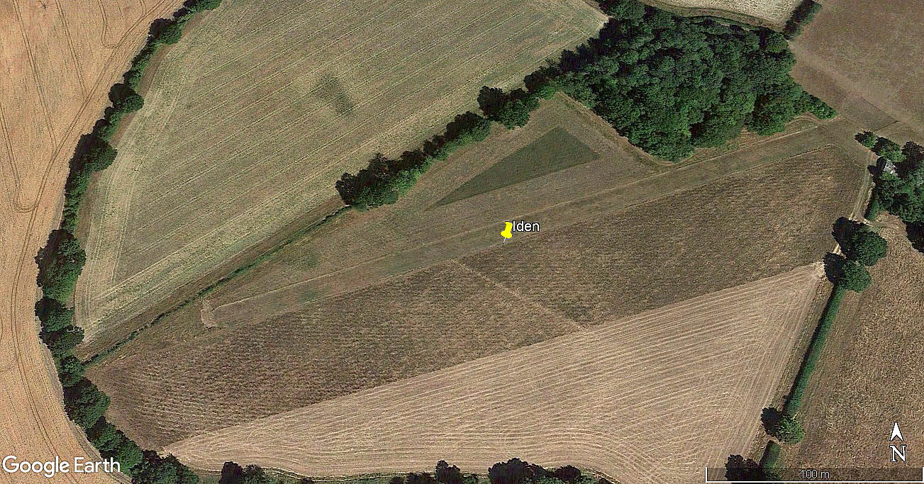
Runway: 07/25 360 grass
NOTES: We have to thank Mr Graham Frost, a great friend of this 'Guide', for pointing out this location. Probably known by another name locally?
In this 'Guide', as a pilot who for many years loved flying from and into farm strips, I like to mention that the nature of them, seen from above, can vary considerably - from standing out from miles around, to being nigh on invisable. depending on the crops being grown and the time of year. In this case, probably by sheer fluke of course, the pictures I have found on Google Earth show this airstrip as being highly visible.
As always, if anybody can kindly offer advice and information, this will be most welcome. Pictures are of course much appreciated.
We'd love to hear from you, so please scroll down to leave a comment!
Leave a comment ...
Copyright (c) UK Airfield Guide

