Low Farm
LOW FARM: Two private airfields (Also known as SOUTH WALSHAM?)
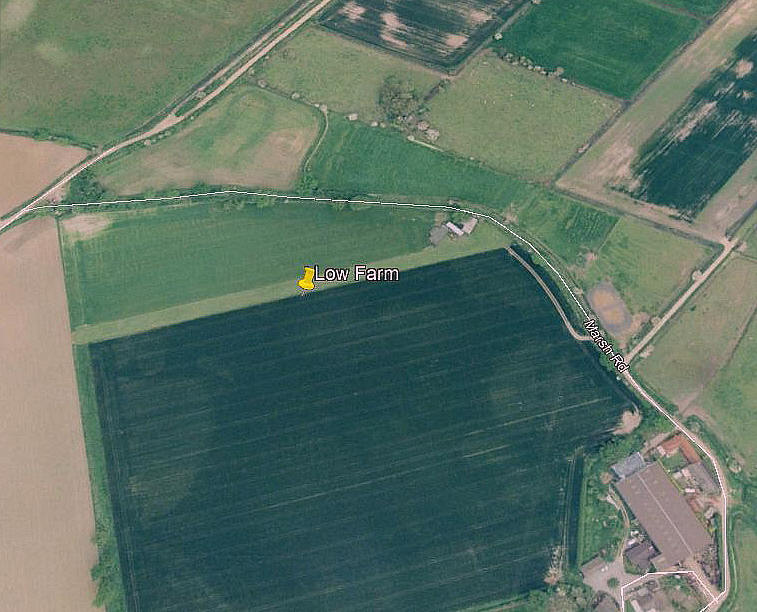
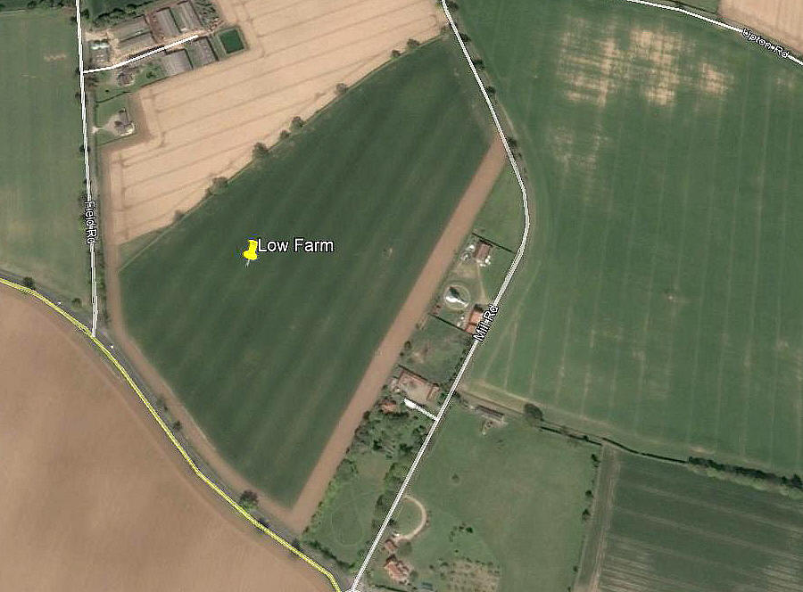
NOTE: I cannot recall a similar situation to this arising, and I most certainly need advice. After adding the 'LOW FARM' notes I had on file, I then set about seeing if I could find evidence of the 06/24 280 metre strip. And, sure enough, there it was until around 2011 - exactly where I expected to find it.
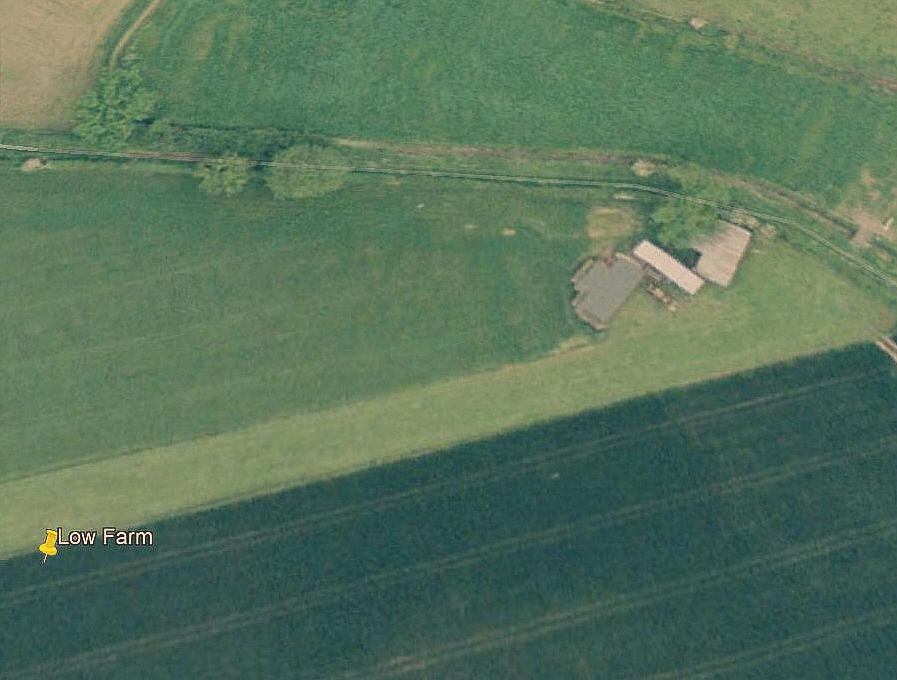
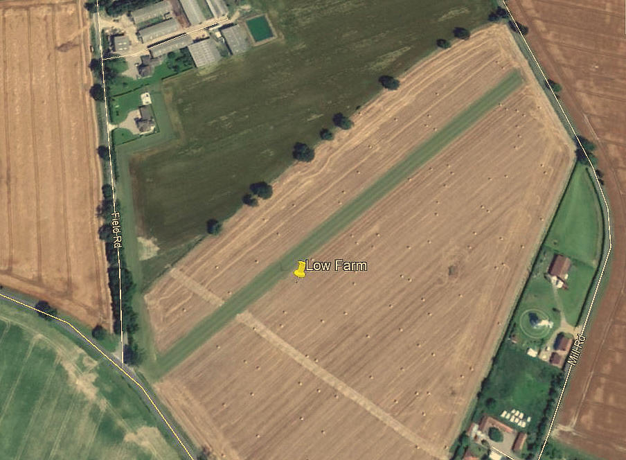
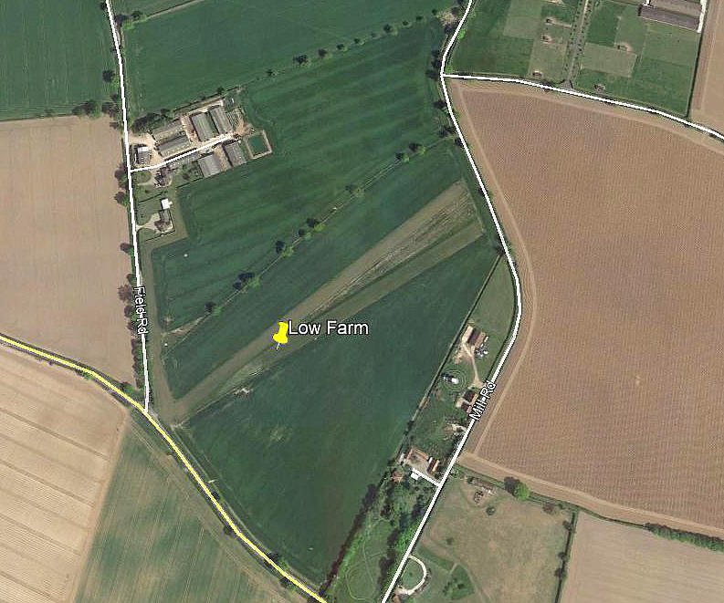
But then I noticed when trawling back through the Google Earth history file from 2019, that another airstrip had appeared to the south. With three possible runways, in two close but different locations, appearing from 2015. The problem being that when delving into this, to try and determine what the later strips to the south might be known as - the answer appeared to be 'LOW FARM'.
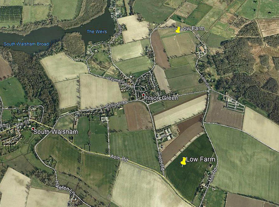
Can this possibly be correct? In one respect it doesn't matter too much, as the purpose of this 'Guide' is simply to record flying sites. And the Google Earth pictures more than suffice to provide the proof that two airstrip locations exist/existed in this small area.
Note: These four pictures were obtained from Google Earth ©
Operated by: Mr Bob Majoram
Location: (First strip) 1nm ENE of South Walsham, 3nm NW of Acle
Period of operation: 1970s to -
Second strips: From 2015 (?) to -
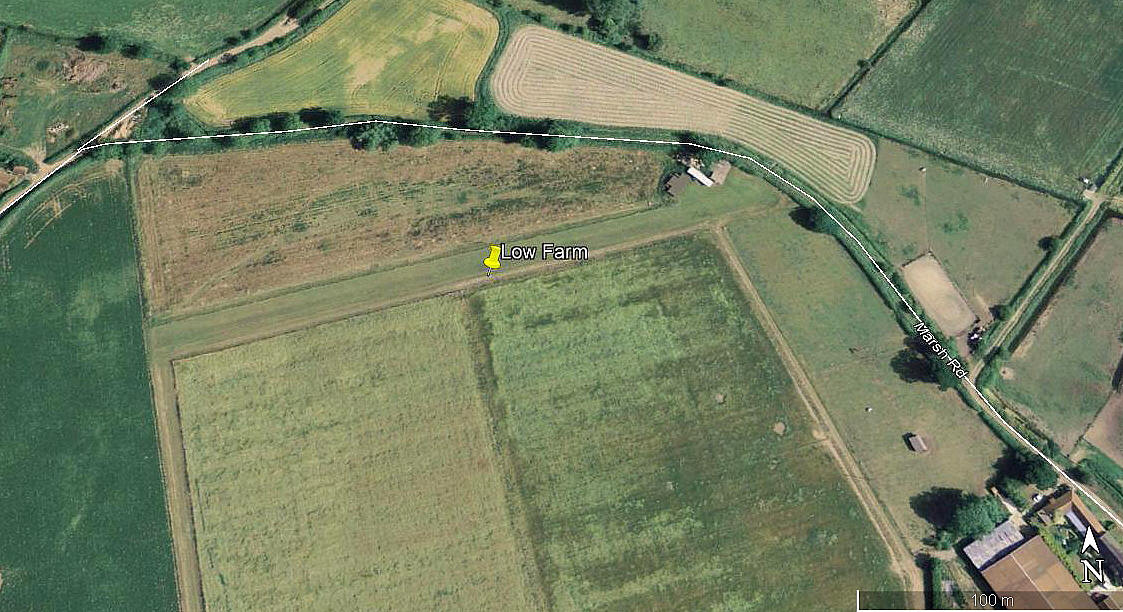
Note: These three pictures were obtained from Google Earth ©
Runway: 1997: (First strip) 06/24 280 grass
2015: (Second strip): 03/21 425 grass
2017: (Third strips) 05/23 430 grass 06/24 410 grass
Note: In the 2017 picture it appears the 05/23 runway was mostly in use?
NOTES: In the mid 1970s it seems the only aircraft based here was the Piper J-3C-65 Cub
G-BCOB registered to Mr R W & Mrs J W Marjoram.
We'd love to hear from you, so please scroll down to leave a comment!
Leave a comment ...
Copyright (c) UK Airfield Guide


