Lower Grounds Farm
LOWER GROUNDS FARM: Private airstrip (Aka SHERLOWE)
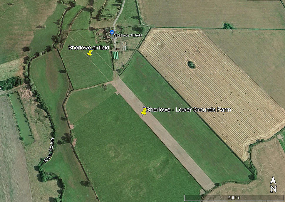
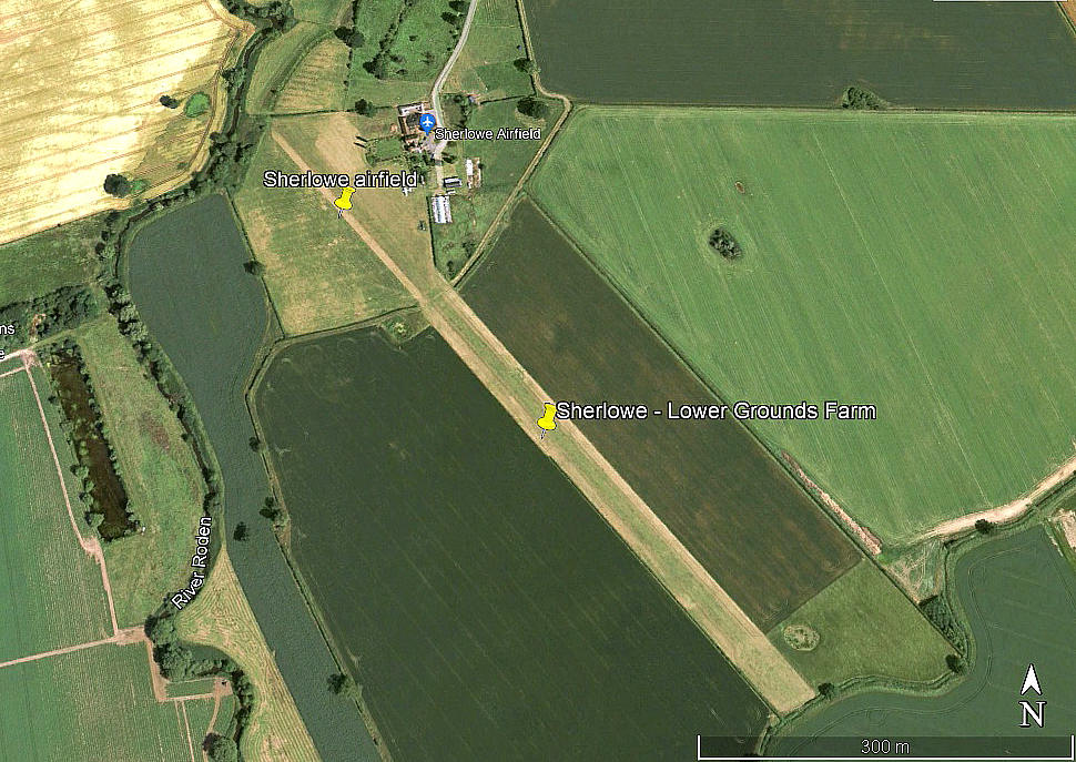
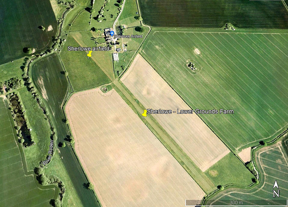
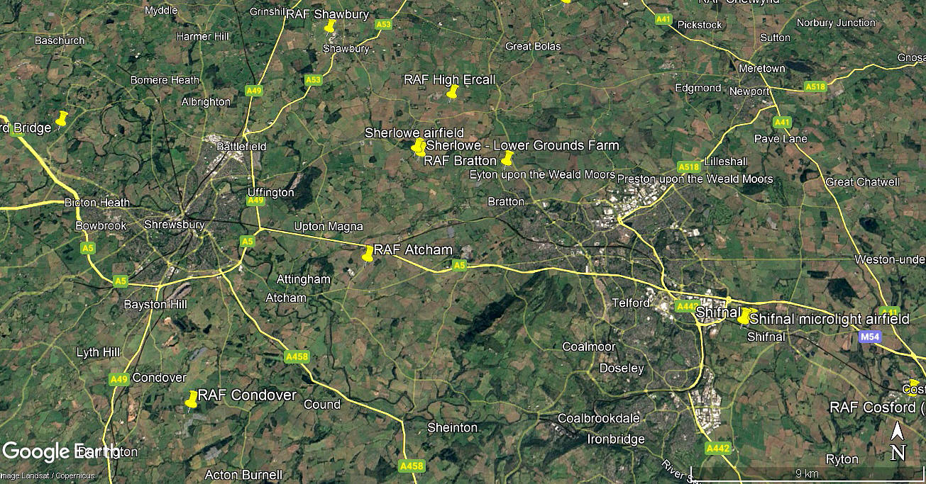
Note: The first three pictures were obtained from Google Earth ©. The local area view is from my Google Earth © derived database.
Location: Mostly just S/SE of the present day SHERLOWE airfield
Period of operation: Unknown? Up until around 2011
Runway: 14/32 680 grass
NOTES: It is a constant and never ending task, to review existing listings and make adjustments as new information comes to light. And indeed, since I started on this project over twenty years ago, so much more information is now available. And, many very kind people have offered much advice and information, maps, pictures and so on.
This said, I have no information regarding the history of this airstrip. The northern end of the airstrip is within the present day SHERLOWE airfield.
We'd love to hear from you, so please scroll down to leave a comment!
Leave a comment ...
Copyright (c) UK Airfield Guide


