Now having 7,000 + listed!

Probably becoming the most extensive British flying sites guide online...?

portfolio1 portfolio2 portfolio3 portfolio4

Heading 1

This is an example of the content for a specific image in the Nivo slider. Provide a short description of the image here....

Heading 2

This is an example of the content for a specific image in the Nivo slider. Provide a short description of the image here....

Heading 3

This is an example of the content for a specific image in the Nivo slider. Provide a short description of the image here....

Heading 4

This is an example of the content for a specific image in the Nivo slider. Provide a short description of the image here....

small portfolio1 small portfolio2 small portfolio3 small portfolio4
themed object
A Guide to the history of British flying sites within the United Kingdom
get in touch

Lower Withial Farm


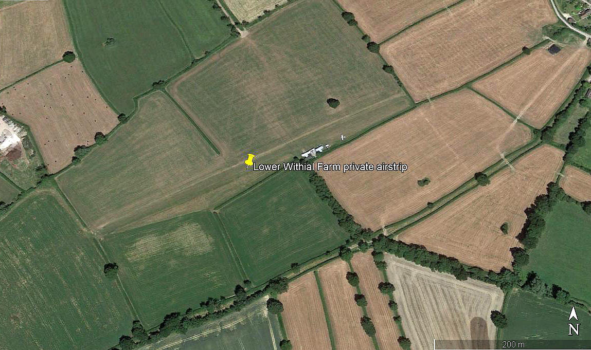
LOWER WITHIAL FARM: Private airstrip   (also known as EAST PENNARD and, perhaps(?), SHEPTON MALLET)

Aerial view 2005
Aerial view 2005
Aerial detail 2005
Aerial detail 2005
Aerial view 2018
Aerial view 2018
Aerial detail 2018
Aerial detail 2018

Note:  All four pictures obtained from Google Earth ©


Operated by: Mr David Stokes
 

Location: W of Hembridge, about 5nm SSW of Shepton Mallet, 6nm E of Glastonbury, 8nm NNE of YEOVILTON

Period of operation: 1980s to present day?
 

Runway: 05/23   500x40   grass
Note: A look at Google Earth in 2017 indicates the runway is now orientated 06/24


NOTES: One flight guide warns that at silage times the strip can narrow to 3.5 metres!

It would seem that in the fourth picture, the modified Jodel D.112 G-AWVZ, owned by Mr David Stokes and featured in Light Aviation magazine, could well be the Jodel seen here?


We'd love to hear from you, so please scroll down to leave a comment!


Leave a comment ...


Name
 
Email:
 
Message:


Copyright (c) UK Airfield Guide


slide up button