Lumb
LUMB: Private airstrip (also known as LUMB ROSSENDALE, and ROSSENDALE and MIDDLE BANK TOP FARM)
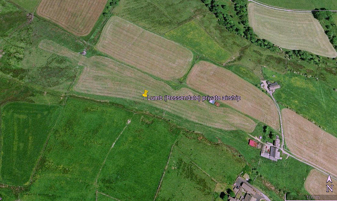
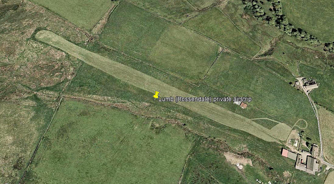
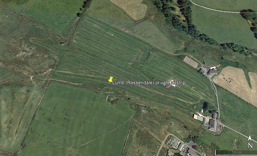
Note: All three of these pictures were obtained from Google Earth ©
Operated by: 1980s to 2000: Mr S Walmsley Esq
Location: In/near and N of Lumb, W of the B6238 and about 3nm ENE of Rawtenstall and 5nm S of Burnley
Period of operation: 1980s to -
Runway: 1990/2000: 12/30 400x18 grass (one AAIB report states: 06/24 488 grass)
Note: Putting the Google Earth measuring stick onto this runway in 2016, (image 2005), seems to indicate a runway length of 425 metres, orientated 11/29.
We'd love to hear from you, so please scroll down to leave a comment!
Leave a comment ...
Copyright (c) UK Airfield Guide


