Lyndhurst
Note: This map only shows the position of Lyndhurst within the UK.
LYNDHURST: Military airstrip
Military user: Army
RAF 43 OTU (Austers AOPs))
Location: In/near Lyndhurst which is on the A35, and crossed N/S by the A337. Lyndhurst is roughly 8nm WSW of Southampton city centre
Period of operation: During WW2 only? Probably used in the lead up to the D-Day invasion
NOTES: Prior to the D-Day landings the New Forest was a hive of activity, several airfields being constructed to serve the campaign. To date (2020) I have failed miserably to ascertain just where this airstrip was located. If anybody can kindly offer advice, this will be much appreciated. (See below)
A ROBIN BAXTER GALLERY
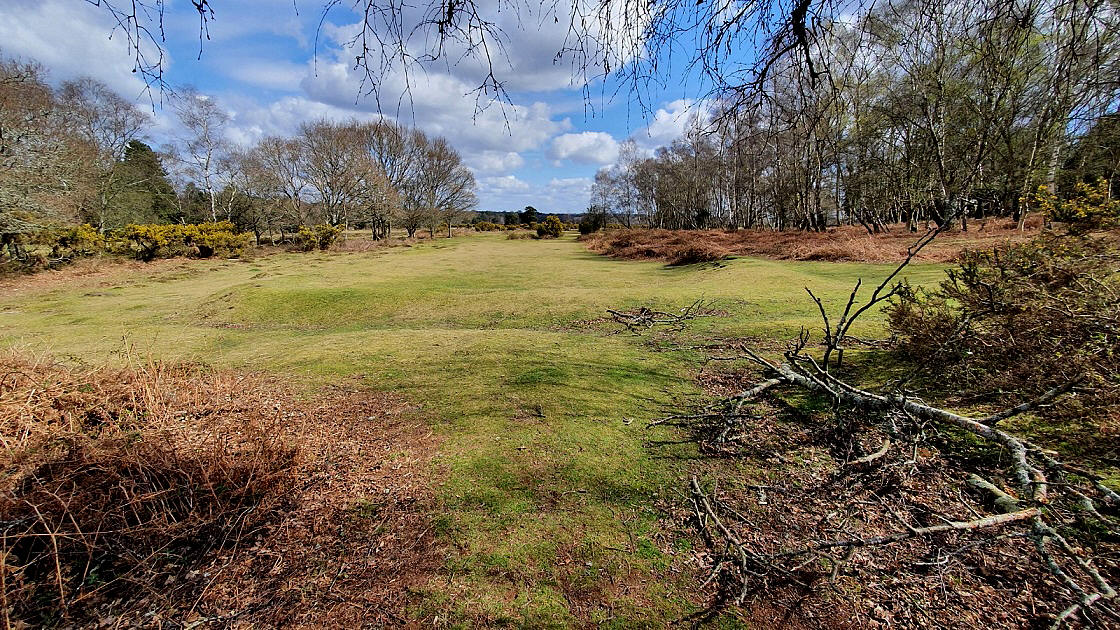
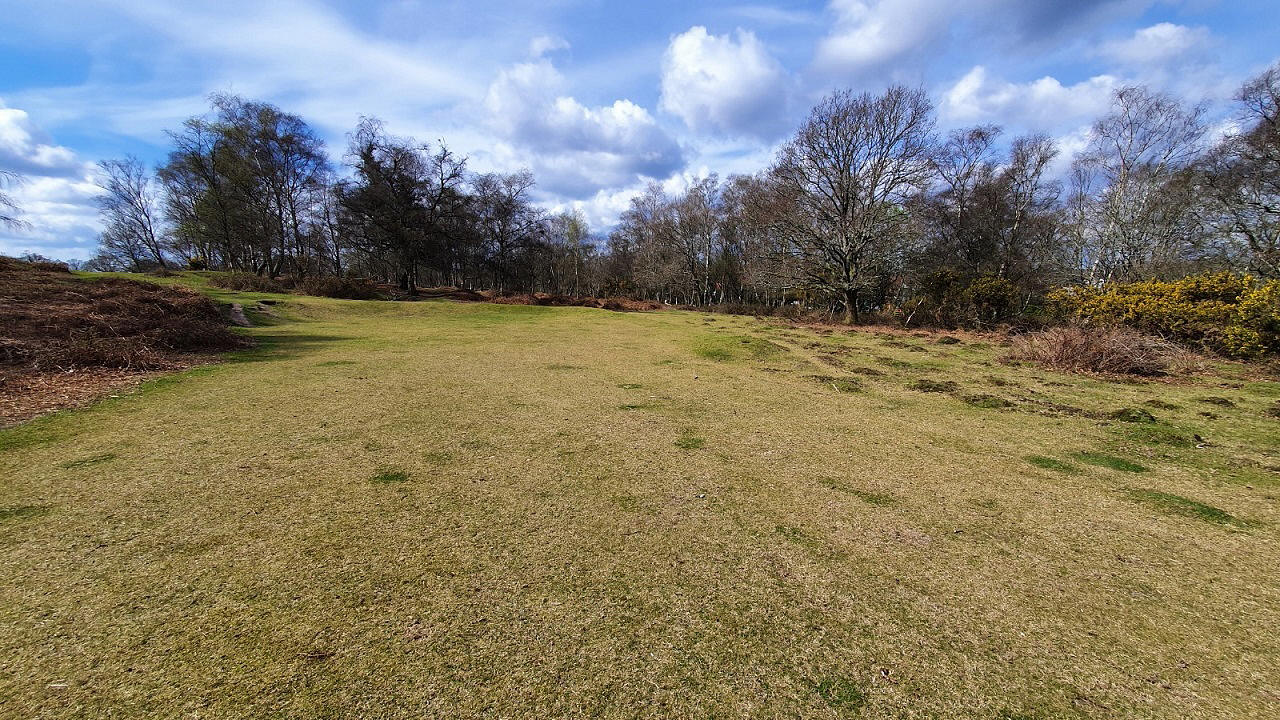
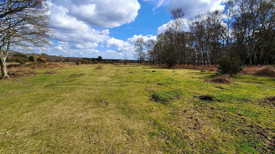
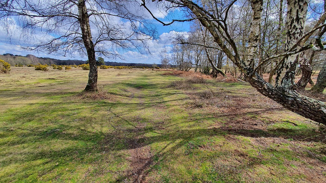
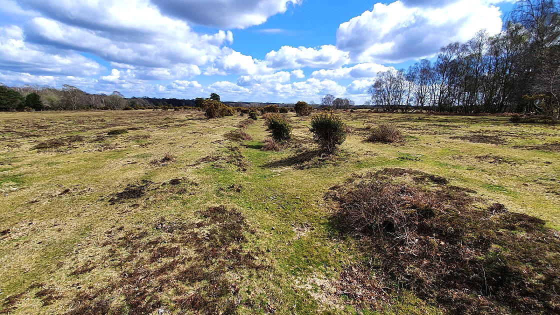
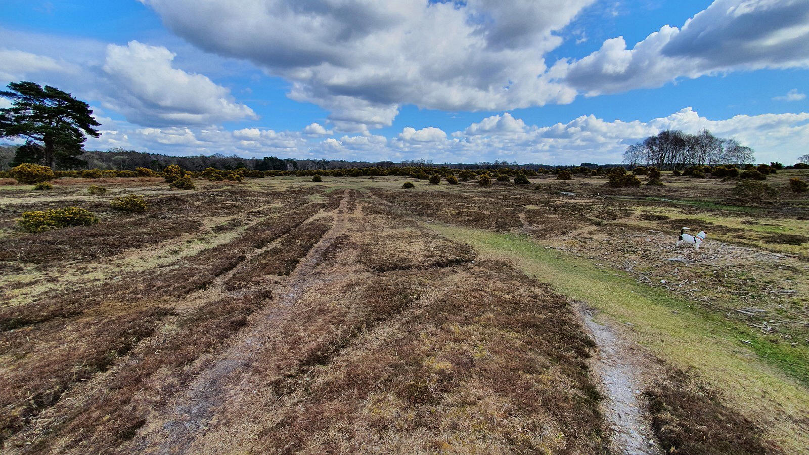
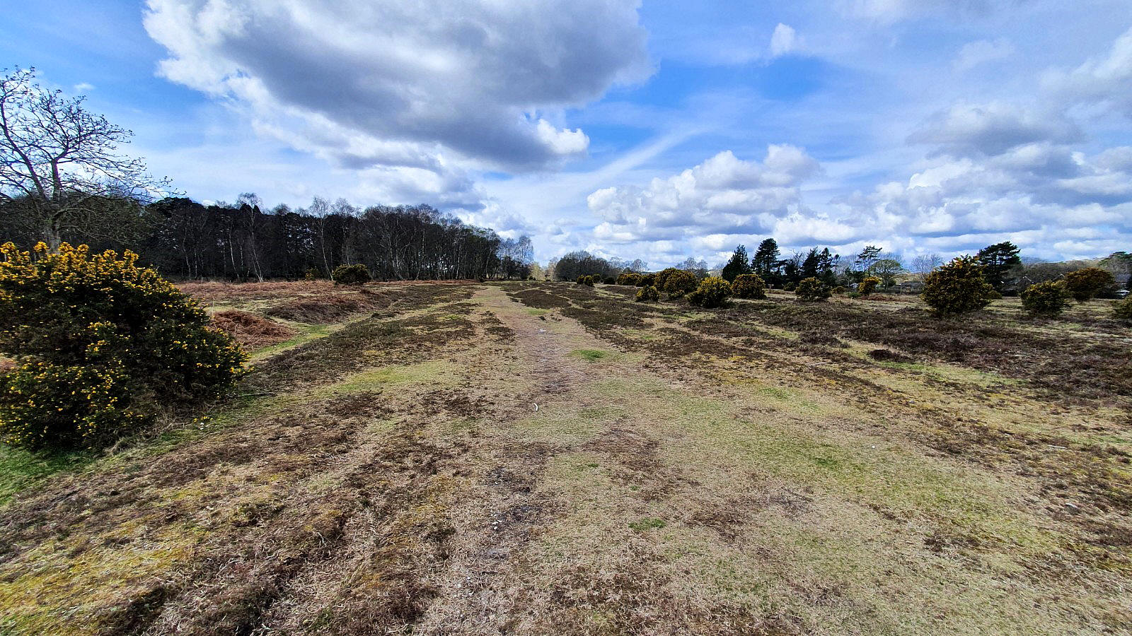
In March 2022 I was kindly contacted by Mr Robin Baxter who had noticed my plea for advice and information. He thought he had a good idea where this airstrip could have been, and went out to survey the area in detail. He soon found what he was looking for and took these great pictures.
What they show is a classic case of how airstrips, including those with hard runways, were quickly constructed in the lead up to D-Day in the New Forest. The ground, already quite level, would be scraped flat leaving small mounds of earth on either side. Even today very little natural growth of any size occurs in the runway areas, (or taxiways and panhandles), making them still quite easy to see.
Another aspect is that, in this case especially, the trees we now have growing close by, were either quite small, or didn't exist. Those that did probably being cut down.
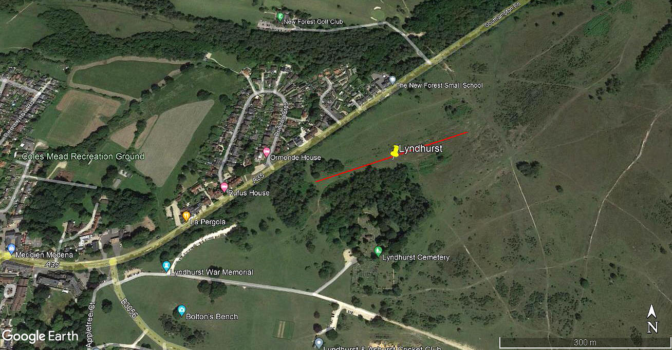
This runway, orientated 07/25 makes perfect sense, being aligned with the prevailing westerly winds, and being around 300 metres long, was ideal for Austers. Also, as Robin points out, Army officers were billeted in the now derelict hotel, about a quarter mile to the west.
Note: The last picture was obtained from my Google Earth © derived database.
NOTES: This places the airstrip just S of the A35 and just E of Lyndhurst town centre
We'd love to hear from you, so please scroll down to leave a comment!
Leave a comment ...
Copyright (c) UK Airfield Guide


