Now having 7,000 + listed!

Probably becoming the most extensive British flying sites guide online...?

portfolio1 portfolio2 portfolio3 portfolio4

Heading 1

This is an example of the content for a specific image in the Nivo slider. Provide a short description of the image here....

Heading 2

This is an example of the content for a specific image in the Nivo slider. Provide a short description of the image here....

Heading 3

This is an example of the content for a specific image in the Nivo slider. Provide a short description of the image here....

Heading 4

This is an example of the content for a specific image in the Nivo slider. Provide a short description of the image here....

small portfolio1 small portfolio2 small portfolio3 small portfolio4
themed object
A Guide to the history of British flying sites within the United Kingdom
get in touch

Malshanger


MALSHANGER: Private airstrip       (Aka SHEAR DOWN FARM?)


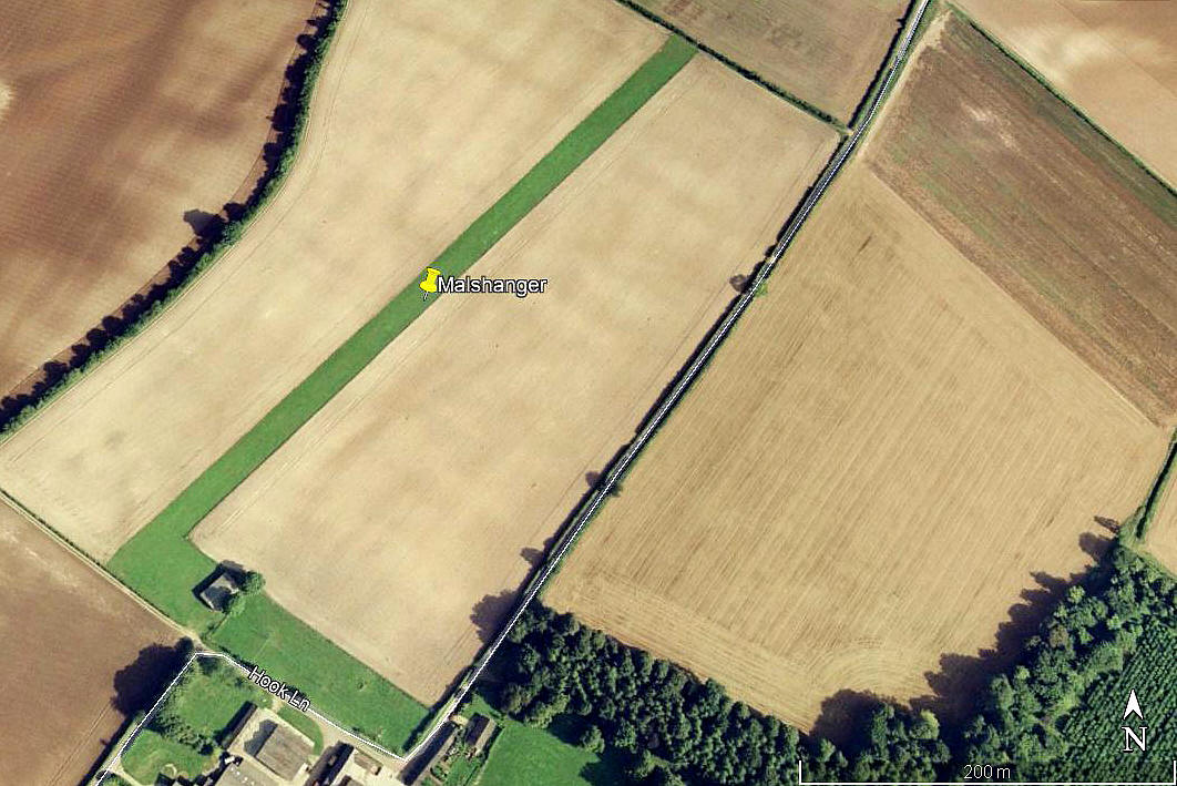
Aerial view 1999
Aerial view 1999
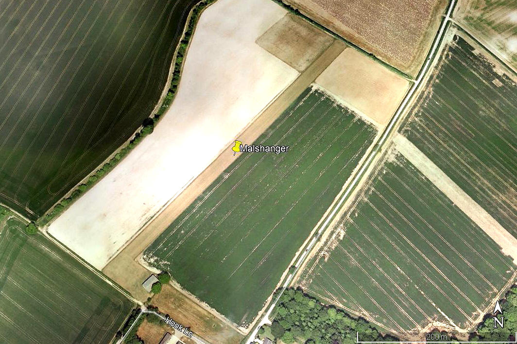
Aerial view 2005
Aerial view 2005
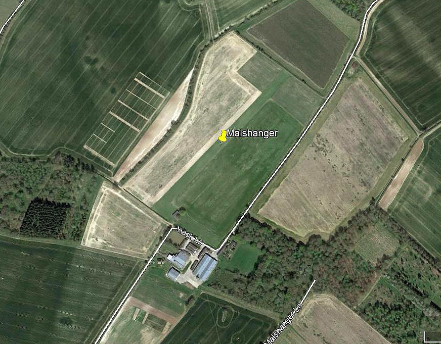
Aerial view 2017
Aerial view 2017
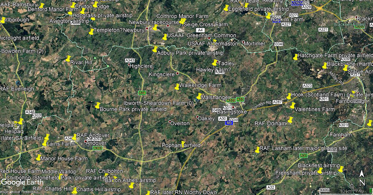
Area view
Area view

Note: These four pictures were obtained from Google Earth ©


Operated by: From 1988 Mr Chris Barnes. Later Mr Roy Palmer
 

Location: Roughly 4nm WNW of Basingstoke town centre
 

Runway: 04/22   500   grass


NOTES: It appears that during the early 21st century at least, Mr Roy Palmer had (has?) several DH60 Moths based here, once aided and abetted by the late Mr Ron Souch.

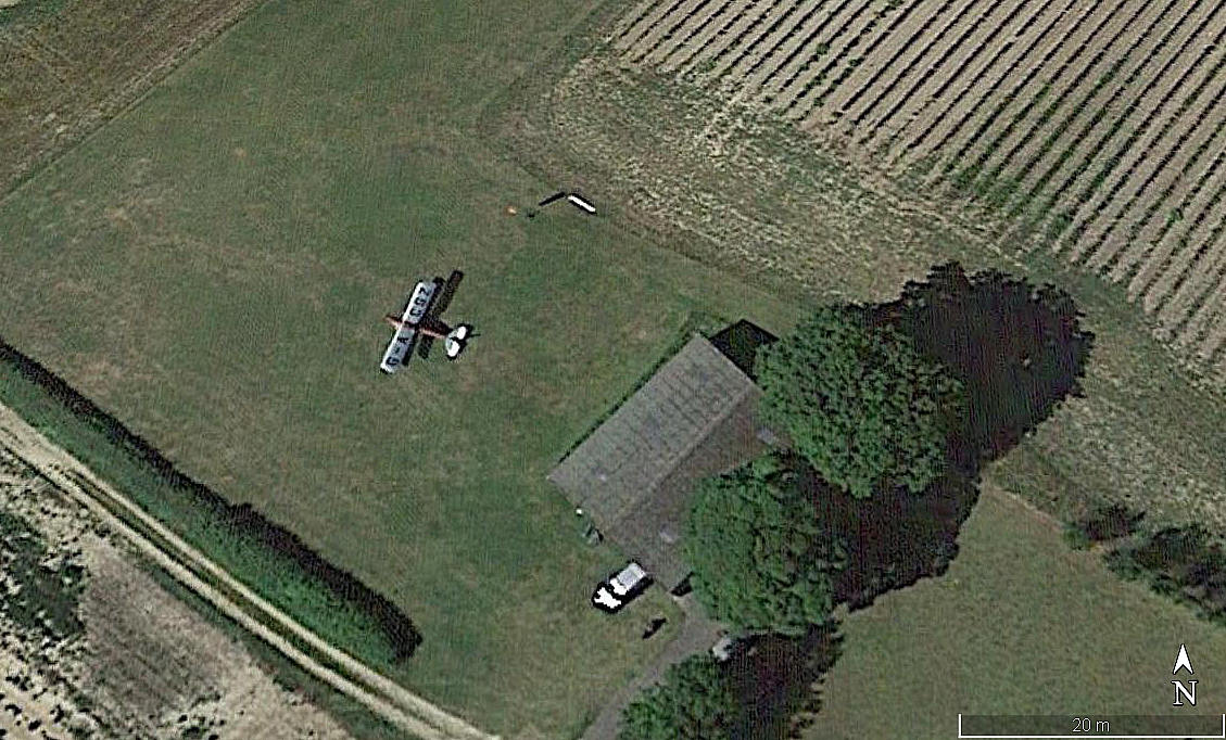
Aerial detail
Aerial detail


Note: And if proof were needed, in May 2021, Mr Graham Frost, a great friend of this 'Guide', noticed that a picture of the DH60G 111 Moth G-ACGZ appears on a Google Earth © picture dated 2020.


We'd love to hear from you, so please scroll down to leave a comment!


Leave a comment ...


Name
 
Email:
 
Message:


Copyright (c) UK Airfield Guide


slide up button