Manningford
MANNINGFORD: Military Relief Landing Ground
(Aka MANNINGFORD BRUCE and BOHUNE COMMON)
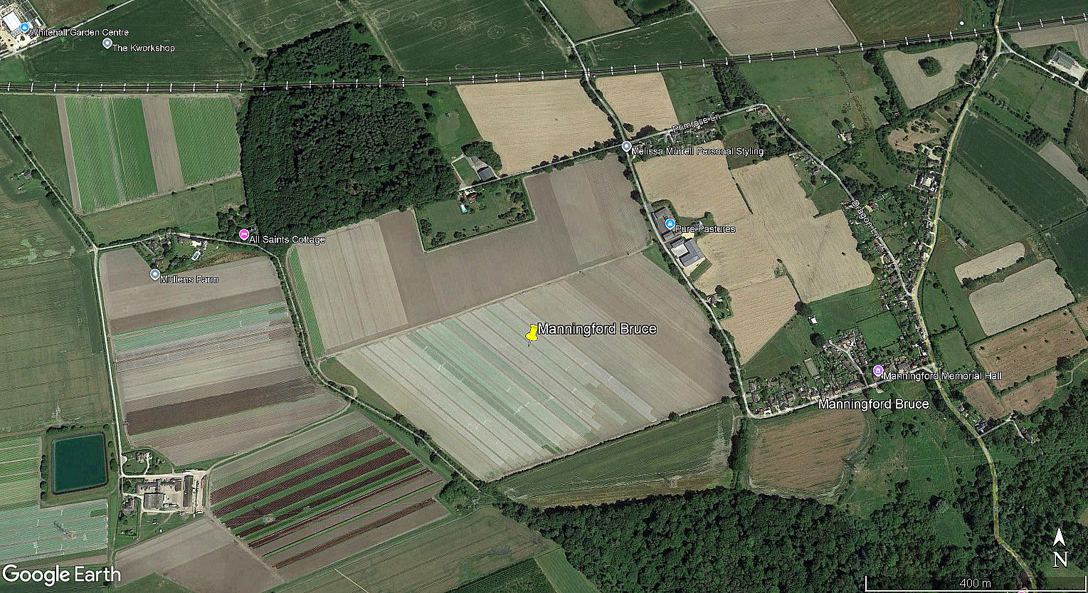
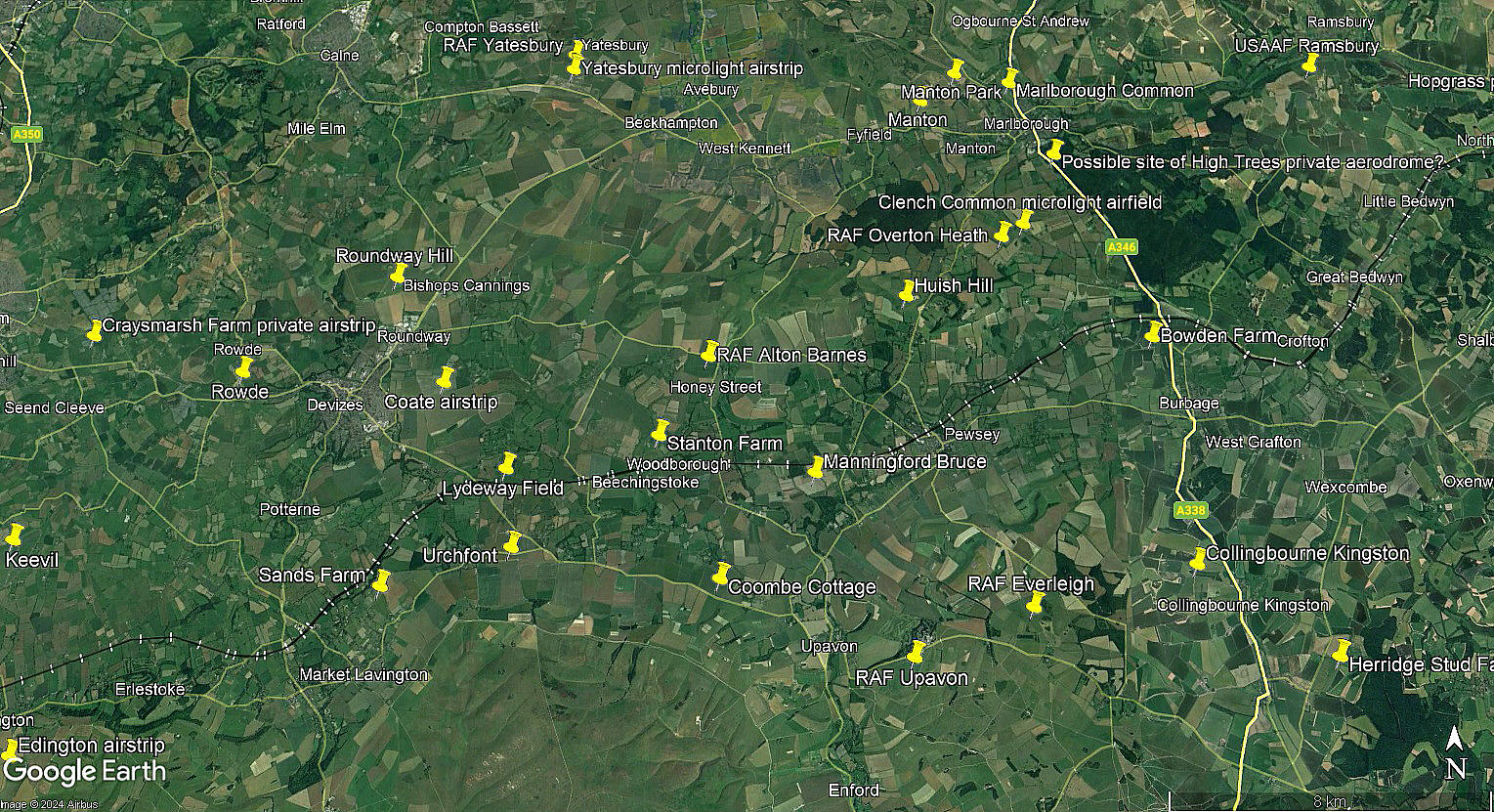
The local view was obtained from Google Earth ©, and the local area view is from my Google Earth © derived database.
Military user: RAF Flying Training Command
RLG for CFS (Central Flying School) UPAVON
Location: Many years ago I made these notes: Tis a beauty tis this, and in typical English style. The fact is it seems there is no such place as Manningford. However sitting astride or close by the A345 some 8nm ESE of Devizes are three villages; Manningford Abbotts, Manningford Bohune and Manningford Bruce.
After adjusting the deer-stalker hat and re-focussing the magnifying glass from my patented detective kit I reckon MANNINGFORD was pretty near these villages. But exactly where - does anybody now know? I’ll bet somebody does.
Period of operation: WW2 (in what year?) to 1947
NOTES: In October 2016 I decided to have another look at this site before making an entry. And, perhaps not surprisingly, The Airfields of Britain Conservation Trust came to the rescue - as they have done on several occassions.
We'd love to hear from you, so please scroll down to leave a comment!
Leave a comment ...
Copyright (c) UK Airfield Guide


