Marridge Farm
MARRIDGE FARM: Private airstrip
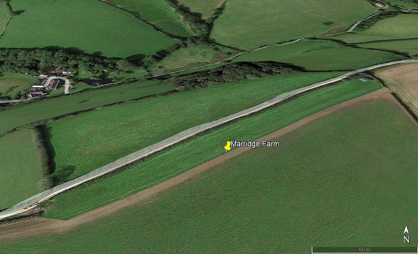
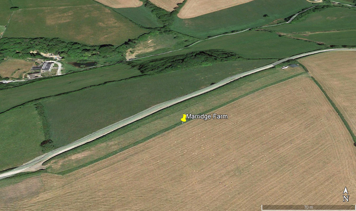
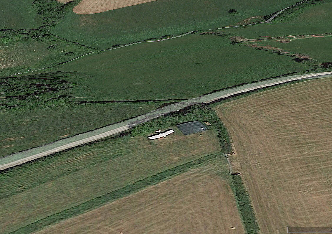
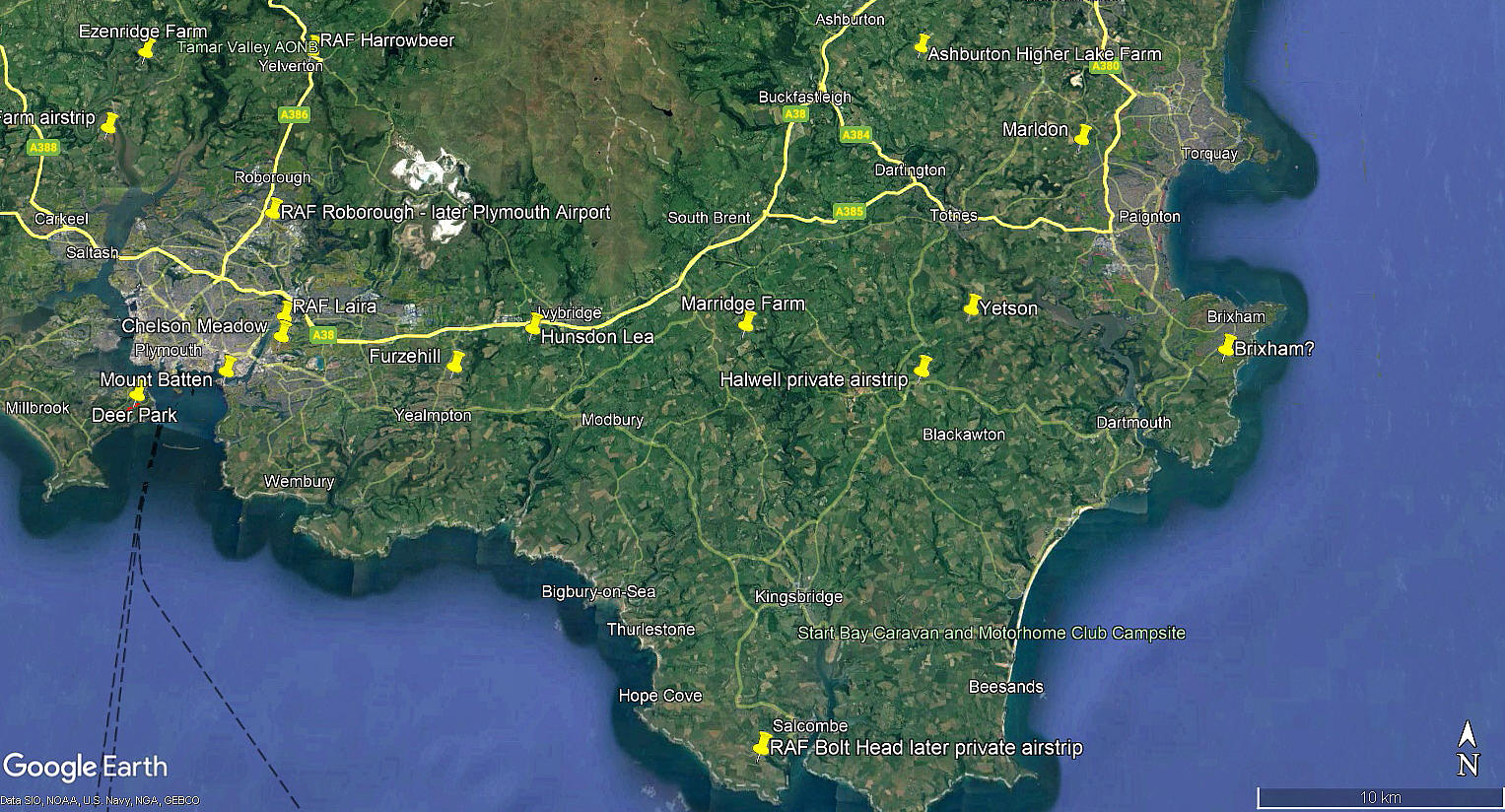
Note: The first three pictures were obtained from Google Earth ©. The area view is from my Google Earth © derived database.
Location: E of the B3196, roughly 2.5nm S of the A38 and about 13nm E of Plymouth city centre
Period of operation: Unknown? The dating system on Google Earth is very unreliable for some obscure reason, so given this, there is no sign of the strip in 2010 and the hangar appears to have gone by 2022.
Runway: 05/23 300 grass
NOTES: The aircraft in the somewhat blurred detail view above is one I cannot identify. Any ideas? It also looks too large to fit in that hangar, so perhaps the wings fold or can easily be removed. If anybody can kindly offer advice or information, this will be much appreciated. Pictures are always most welcome.
We'd love to hear from you, so please scroll down to leave a comment!
Leave a comment ...
Copyright (c) UK Airfield Guide


