Moat Hall
MOAT HALL: Private airfield (also known as MOAT HALL FARM)
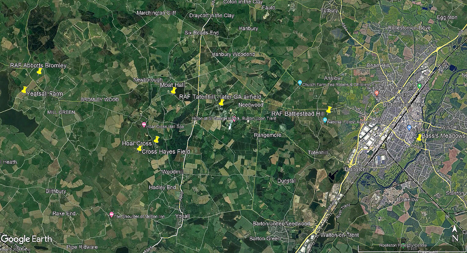
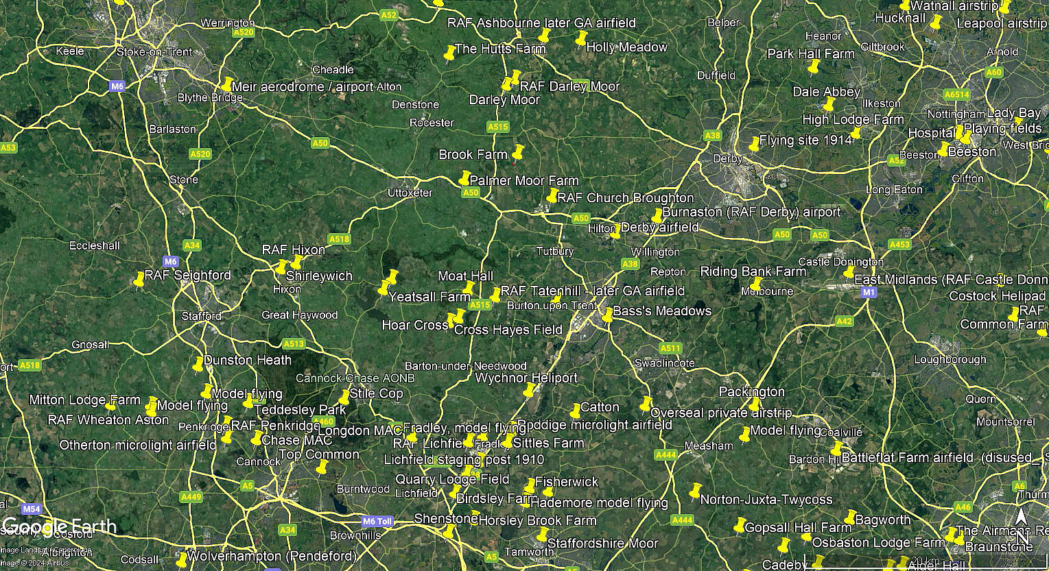
Note: The aerial view is from Google Earth © showing evidence of the runways. The local area and area views are from my Google Earth © derived database.
Operated by: 1990: Mr R W W Prince
Location: 0.5nm S of Newborough & B5234, W of A515, 1.25nm WNW of TATENHILL airfield, about 6.5nm W to WNW of Burton-on-Trent town centre
Period of operation: 1980s/1990s only?
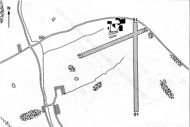
Note: This map is reproduced with the kind permission of Pooleys Flight Equipment Ltd. Copyright Robert Pooley 2014.
Runways: 1990: 01/19 500x27 grass 07/27 360x27 grass
We'd love to hear from you, so please scroll down to leave a comment!
Leave a comment ...
Copyright (c) UK Airfield Guide


