Now having 7,000 + listed!

Probably becoming the most extensive British flying sites guide online...?

portfolio1 portfolio2 portfolio3 portfolio4

Heading 1

This is an example of the content for a specific image in the Nivo slider. Provide a short description of the image here....

Heading 2

This is an example of the content for a specific image in the Nivo slider. Provide a short description of the image here....

Heading 3

This is an example of the content for a specific image in the Nivo slider. Provide a short description of the image here....

Heading 4

This is an example of the content for a specific image in the Nivo slider. Provide a short description of the image here....

small portfolio1 small portfolio2 small portfolio3 small portfolio4
themed object
A Guide to the history of British flying sites within the United Kingdom
get in touch

Motorway M20


Note: This map only shows a rough position of the actual landing site.


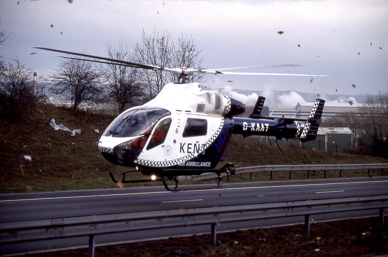
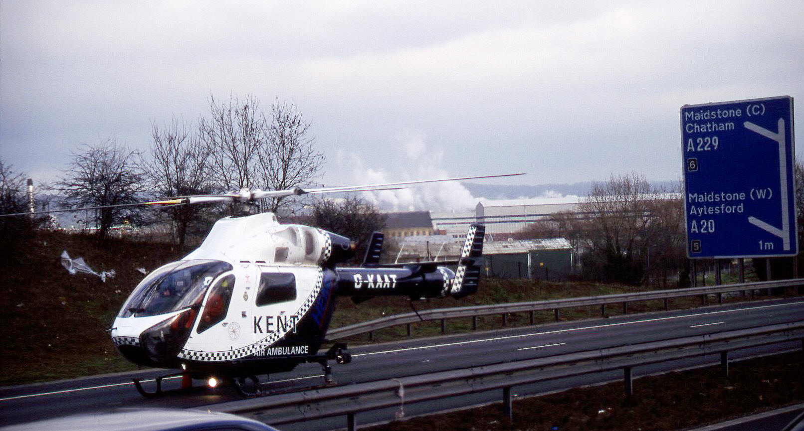
MOTORWAY M20: Temporary air ambulance landing site

The Air Ambulance arriving - note the debris being blown around
The Air Ambulance G-KAAT after touching down

Location: On the eastbound carriageway, just W of junction 5


NOTES: These pictures of the McDonnell Douglas MD900 Explorer G-KAAT, in use as a Kent Air Ambulance, were taken in January 2002. I include it here to pay tribute to the crews who serve in the Air Ambulances, which is of course a very skilled and demanding task indeed.


We'd love to hear from you, so please scroll down to leave a comment!


Leave a comment ...


Name
 
Email:
 
Message:


Copyright (c) UK Airfield Guide


slide up button